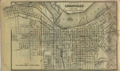
Antique map of Louisville from 1873
Map of Louisville, Kentucky from Appletons' Hand-Book of American Travel, Southern Tour...
408 miles away
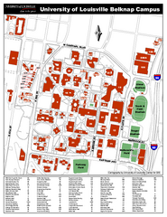
University of Louisville Map
University of Louisville Campus Map. All buildings shown.
408 miles away
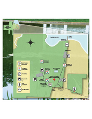
Eden Gardens State Park Map
Map of park with detail of gardens
408 miles away
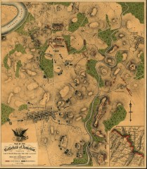
Antietam Battlefield Map
Map of the battlefield of Antietam/Sharpsburg. Shows Union and "Rebel" forces on...
408 miles away
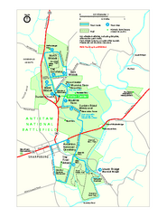
Antietam National Battlefield Official Map
Official NPS map of Antietam National Battlefield in Maryland. Open all year.
409 miles away
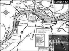
Ohio River at Louisville, KY & Southern...
This is from the Ohio River Guidebook
409 miles away
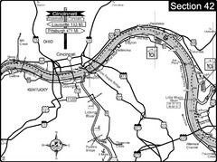
Ohio River at Cincinnati, Ohio and Newport, KY Map
This is a page from the Ohio River Guidebook. The map shows important information for boaters and...
410 miles away
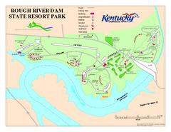
Rough River Dam State Resort Park Map
Map of trails, facilities and golf course in Rough River Dam State Resort Park.
410 miles away

Cincinnati, Ohio City Map
411 miles away
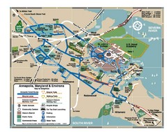
Annapolis Tourist map
411 miles away
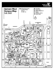
University of Cincinnati - Main Campus Map
University of Cincinnati - Main Campus Campus Map. All areas included.
411 miles away
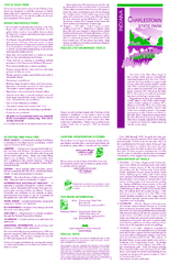
Charlestown State Park Map
412 miles away
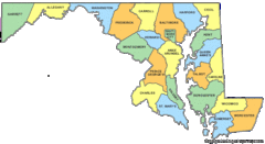
Maryland Counties Map
412 miles away
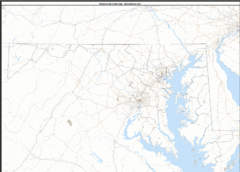
Maryland Zip Code Map
Check out this Zip code map and every other state and county zip code map zipcodeguy.com.
412 miles away
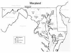
Marylands Airports Map
412 miles away
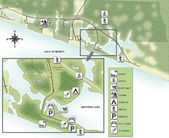
Grayton Beach State Park Map
Map of park with detail of trails and recreation zones
412 miles away
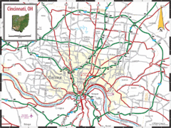
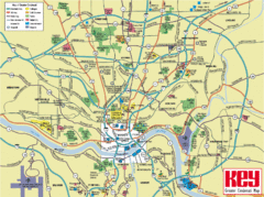
Cincinnati Tourist Map
412 miles away
Cincinnati Tourist Map
412 miles away
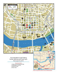
Cincinnati, Ohio Restaurant Map
412 miles away
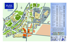
Xavier University Map
412 miles away

United States Naval Academy Map
Campus map
413 miles away
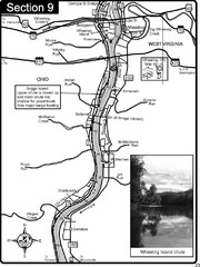
Ohio River at Wheeling, WV and 10 miles downriver...
This is a page from the Ohio River Guidebook. The map shows important information for boaters and...
413 miles away
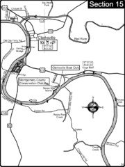
Clarksville, TN-Cumberland River Map
Cumberland River flows past Clarksville that has a great riverfront and services for traveling...
414 miles away
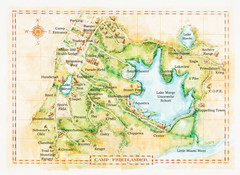
Camp Friedlander Map
414 miles away
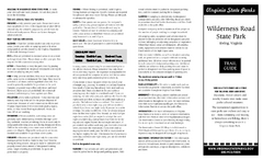
Wilderness Road State Park Map
Clearly marked state park map and legend.
415 miles away

Chesapeake & Ohio Canal National Historical...
Official NPS map of Chesapeake & Ohio Canal National Historical Park in Pennsylvania, West...
415 miles away
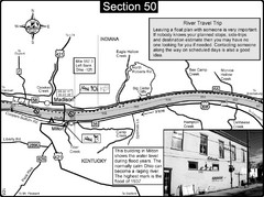
Ohio River at Madison, IN and Milton, KY Map
This is a page from the Ohio River Guidebook. The map shows important information for boaters and...
416 miles away
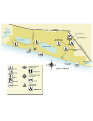
Topsail Hill Preserve State Park Map
Map of park with detail of recreation zones
417 miles away
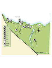
Fred Gannon Rocky Bayou State Park Map
Map of park with detail of trails and recreation zones
417 miles away
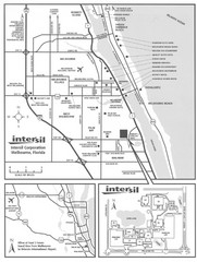
Palm Bay, Florida City Map
418 miles away
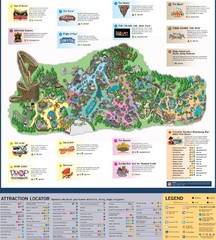
Paramount's Kings Island Map
418 miles away
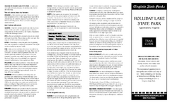
Holiday Lake State Park Map
Easy to read state park map.
418 miles away
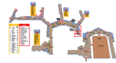
Baltimore Washington International Airport Map
419 miles away
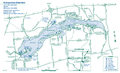
Buckeye Lake State Park map
Detailed recreation map for the Buckeye Lake area in Ohio
419 miles away
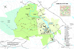
Laurel Hill State Park Map
Detailed recreation map for Laurel Hill State Park in Pennsylvania
420 miles away
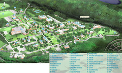
Hanover College Campus Map
Campus map of Hanover College in Hanover, IN. Shows all buildings including large number of...
421 miles away

Seven Springs Mountain Resort Ski Trail Map
Trail map from Seven Springs Mountain Resort.
421 miles away
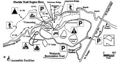
Hillsborough River State Park Map
421 miles away
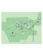
Hillsborough River State Park Map
Map of park with detail of trails and recreation zones
421 miles away
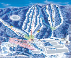
Whitetail Ski Trail Map
Official ski trail map of Whitetail Resort ski area.
422 miles away

