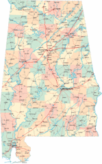
Chesapeake Water Table Elevation Map
Water Resource Protection data for Chesapeake Bay
351 miles away
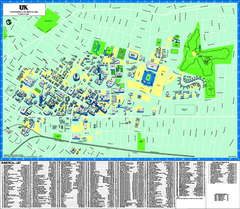
University of Kentucky Map
Campus Map of the University of Kentucky. All areas shown.
351 miles away
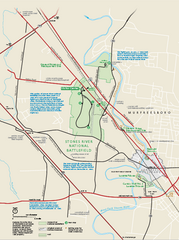
Stones River National Battlefield Official Map
Official NPS map of Stones River National Battlefield in Virginia. 8 AM to 5 PM Daily Pedestrians...
352 miles away
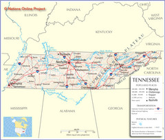
Tennessee Tourist Map
352 miles away
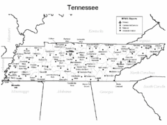
Tennessee Airports Map
352 miles away
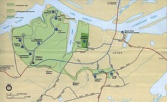
Civil War Era Tennessee State Battle Map
352 miles away
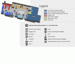
Huntsville International Airport Map
Official Map of Huntsville International Airport in Wisconsin. Shows all terminals and facilities.
352 miles away
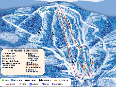
Timberline Ski Resort Ski Trail Map
Trail map from Timberline Ski Resort.
353 miles away
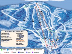
Timberline Ski Trail Map
Official ski trail map of Timberline ski area in West Virginia
353 miles away
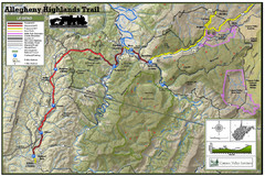
Trailmap72dpi Big Map
Detailed map of Allegheny Highland Trails and surrounding locations.
353 miles away
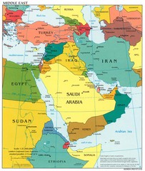
Middle East Political Map
354 miles away

Brookwood Medical Center Map
355 miles away
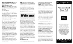
Westmoreland State Park Map
Fishing, hiking, camping and more are all available at this state park.
355 miles away
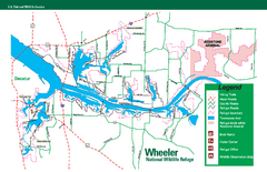
Wheeler National Wildlife Refuge Map
Map of Wheeler National Wildlife Refuge. Includes all roads, hiking trails, camp grounds and...
356 miles away
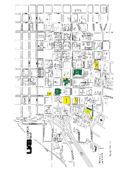
University of Alabama at Birmingham Map
University of Alabama at Birmingham Campus Map. All buildings shown.
356 miles away
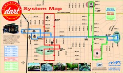
UAB and Area 5 Dart Sysetm Map
357 miles away
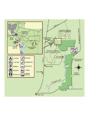
Rainbow Springs State Park Map
Map of park with detail of recreation zones
358 miles away
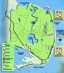
Bald Point State Park Map
Map of park with detail of trails and recreation zones
358 miles away
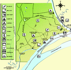
Ochlockonee River State Park Map
Map of park with detail of trails and recreation zones
358 miles away
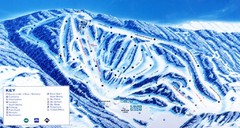
Canaan Valley Resort Ski Trail Map
Trail map from Canaan Valley Resort.
358 miles away
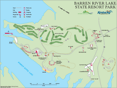
Barren River State Park map
Recreation map for Barren River Lake State Park in Kentucky
362 miles away
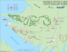
Barren River Lake State Resort Park Map
Map of facilities and golf course in Barren River Lake State Resort Park.
362 miles away
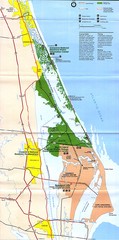
Canaveral National Seashore Map
362 miles away
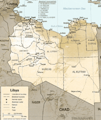
Lybia Map
Clear map and legend of this African Nation.
363 miles away
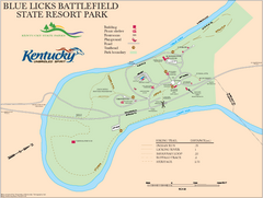
Blue Licks Battlefield State Resort Park Map
Map of Trails and Facilities in Blue Licks Battlefield State Resort Park.
364 miles away
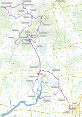
Salem Backroads Century Course Map
Route map for Salem Backroads Century bike race.
364 miles away
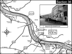
Ohio River at Maysville, Kentucky Map
This is a page from the Ohio River Guidebook. The map shows important information for boaters and...
365 miles away
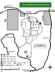
Rock Springs Run State Reserve Trail Map
Map of various trails throughout reserve
366 miles away
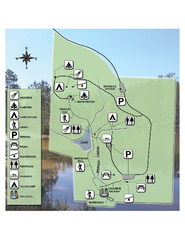
Falling Waters State Recreation Area Map
Map of park with detail of trails and recreation zones
366 miles away
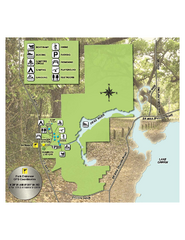
Lake Griffin State Park Map
Map of park with detail of trails and recreation zones
366 miles away
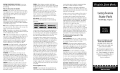
Leesylvania State Park Map
Clear map of this small state park.
367 miles away
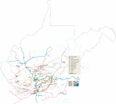
Southern West Virginia Tourist Map
Cities in the southern part of West Virginia.
368 miles away
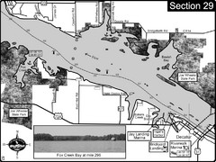
Decatur, AL Tennessee River/Wheeler Lake Map
For boating navigational information and river road travel along the Tennessee River. This section...
369 miles away
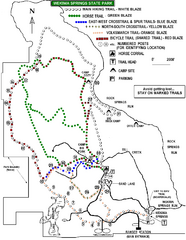
Wekiwa Springs State Park Trail Map
Trail map of park
370 miles away
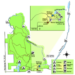
Wekiwa Springs State Park Map
Map of park with detail of trails and recreation zones
370 miles away

Citrus County, Florida Map
Tourist map of Citrus County, Florida. Shows parks, trails, museums, and other points of interest.
371 miles away
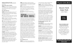
Mason Neck State Park Map
Descriptive map detailing trails, rest stops, and more.
372 miles away
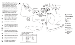
Mason Neck State Park Map
Trail map of Mason Neck State Park near Lornton, Virginia. Shows approx. 3 miles of hiking trails...
373 miles away
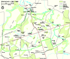
Manassas National Battlefield Park Official Map
Official NPS map of Manassas National Battlefield Park in Virginia.
373 miles away

