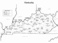
Kentucky Airports Map
332 miles away
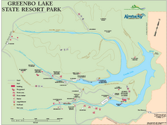
Greenbo Lake State Resort Park map
Detailed recreation map for Greenbo Lake State resort park in Kentucky
332 miles away
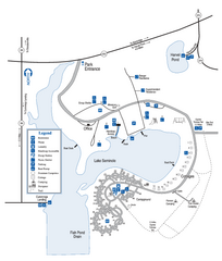
Seminole State Park Map
Map of park with detail of trails and recreation zones
333 miles away
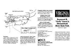
Shenandoah River State Park Map
Detailed map and legend of this beautiful state park.
333 miles away
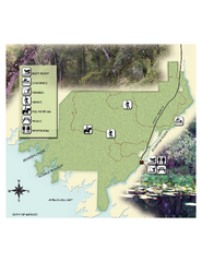
Econfina River State Park Map
Map of park with detail of trails and recreation zones
334 miles away
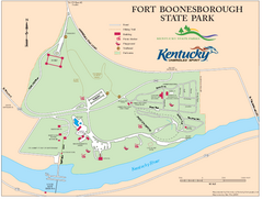
Fort Boonesborough State Park Map
Map of trails, historical sites and facilities at Fort Boonesborough State Park.
334 miles away
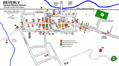
Beverly Historic District map
Tourist map of Historic Beverly of Randolph County, West Virginia.
335 miles away
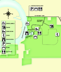
Fanning Springs State Park Map
Map of park with detail of trails and recreation zones
336 miles away
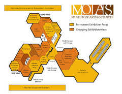
MOAS Museum Map
336 miles away
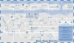
Dayton Beach Map
Map of greater Dayton Beach area
336 miles away
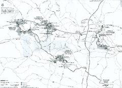
Fredericksburg and Spotsylvania National Military...
Official NPS map of Fredericksburg and Spotsylvania National Military Park in Virginia. The...
338 miles away
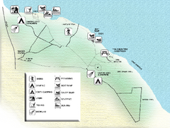
Three Rivers State Park Map
Map of park with detail of recreation zones
338 miles away
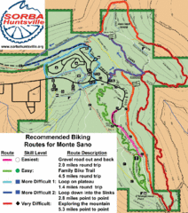
Monte Sano State Park Bike Routes Map
Recommended Biking Routes for Monte Santo with Easy to difficult routes marked.
338 miles away
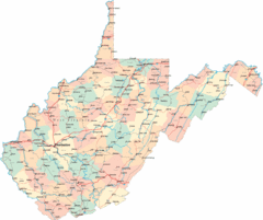
West Virginia Road Map
West Virginia Road Map
339 miles away
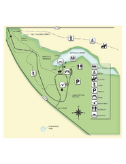
Edward Ball Wakulla Springs State Park Map
Map of park with detail of trails and recreation zones
339 miles away
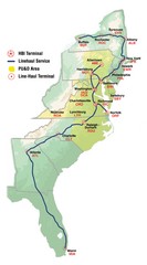
Linehaul Service Area Map
Service Area Map of Linehaul Surface Transportation
339 miles away
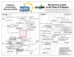
Culpeper, Virginia City Map
Locations and resources in Culpeper
340 miles away
Kiptopek State Park Map
Informative map and legend of this amazing state park.
340 miles away
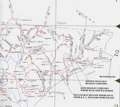
Trousdale County Muttonbluff Map
Pictured is a part of a map of Trousdale County containing the extreme northeast section. The...
341 miles away
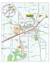
Huntsville, Alabama City Map
343 miles away
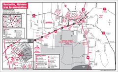
Huntsville Alabama Tourist Map
Map of Huntsville, Alabama showing hotels and streets for the downtown area.
343 miles away
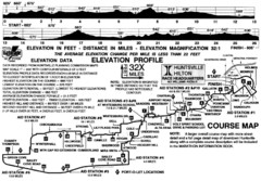
Rocket City Marathon Elevation Map
Course Map and Elevation Profile of the Rocket City Marathon in Huntsville, AL
343 miles away
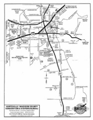
Huntsville City Map
City map of Huntsville, Alabama
343 miles away
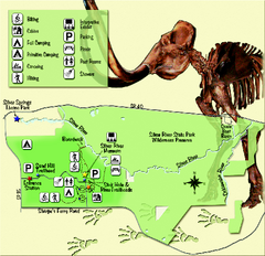
Silver River State Park Map
Map of park with detail of trails and recreation zones
344 miles away
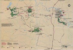
Fredricksburg National Parks Map
National parks in Fredricksburg.
344 miles away
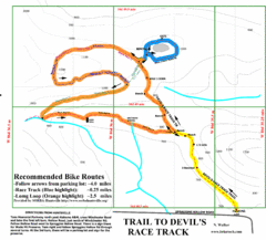
Wade Mountain Map
Recommended Bike Routes for Wade Mountain including the trail to Devil's Race Track
345 miles away
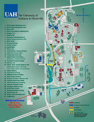
University of Alabama in Huntsville Map
Campus Map
345 miles away
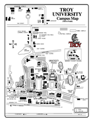
Troy University Map
Campus map of Troy University Troy campus. All areas shown.
345 miles away
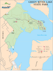
Green River Lake State Park Map
Map of trails and facilities in Green River Lake State Park.
345 miles away
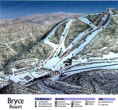
Bryce Resort Ski Trail Map
Trail map from Bryce Resort.
346 miles away
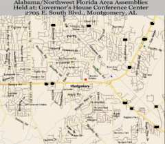
Montgomery, Alabama City Map
347 miles away
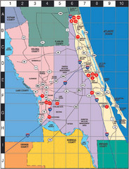
Western Florida County Map
Counties in Western Florida
348 miles away
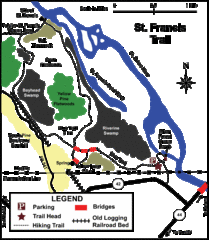
St. Francis Trail Map
The trail is located in Volusia county, about a mile from Deland. It is about an hour from Ocala.
348 miles away
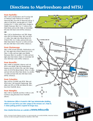
Middle Tennessee State University Map
Middle Tennessee State University Campus Map. All buildings shown.
349 miles away
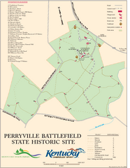
Perryville Battlefield State Historic Site Map
Map of trails and interpretive markers for the historical site of Perryville Battlefield.
349 miles away
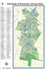
University of Kentucky Campus Map
Campus Map of University of Texas includes detailed numbered building list, all streets and sports...
350 miles away
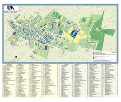
University of Kentucky Campus Map
2008 UK Visitor Map
350 miles away
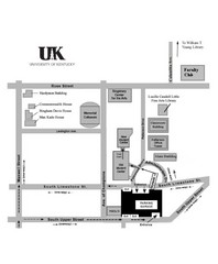
University of Kentucky Campus Map
Map of a part of University of Kentucky. Includes the specific location of the parking garage next...
350 miles away
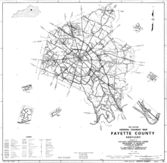
Fayette County General Highway Map
Transportation Map of Fayette County, KY
351 miles away

