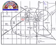
Lubbock City Map
City map of Lubbock, Texas
318 miles away
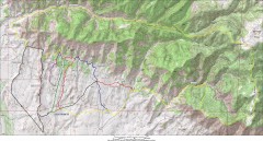
Fruita 18 Road Trail Map
Mountain biking trail map of the 18 Road area in Fruita, CO including Chutes & Ladders, Zipity...
318 miles away
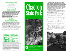
Chadron State Park Map
The majestic beauty of the Pine Ridge forms the backdrop for this great, get away from it all state...
319 miles away
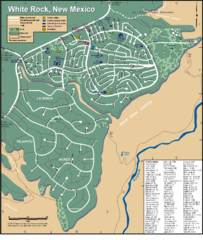
White Rock Road Map
Large and detailed map marking points of interest and roads.
320 miles away
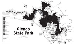
Glendo State Park Map
Glendo State Park is best known for its excellent boating opportunities, with plenty of areas for...
322 miles away
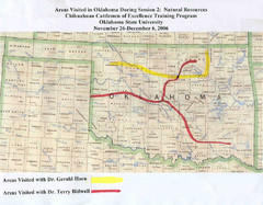
Oklahoma County Map
322 miles away
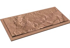
Gateway, Colorado carved by CarvedMaps.com Map
CarvedMaps.com carved this beautiful wood map of the Gateway area in SW Colorado. This company...
322 miles away
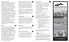
Highline Lake State Park Map
Map of park with detail of recreation areas
325 miles away
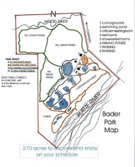
Bader Park Map
330 miles away
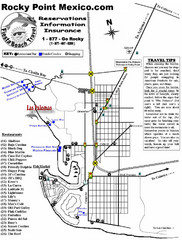
Rocky Point, New Mexico Tourist Map
330 miles away
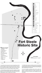
Fort Fred Steele State Historic Site Map
This frontier Army post has a fascinating history interlacing transportation with the military and...
330 miles away
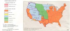
Territorial Expansion in Eastern United States...
331 miles away
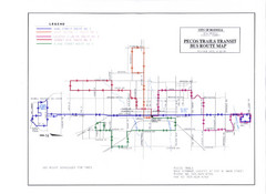
Pecos Trails Bus Route Map
334 miles away
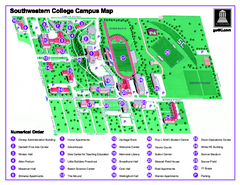
Southwestern College Campus Map
Southwestern College Campus Map. Shows all buildings.
336 miles away
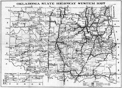
Oklahoma State Highway Map
Highway Map of Oklahoma State circa 1927. Includes all main roads and highways up to state...
337 miles away
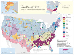
Census 2000 Data Top US Ancestries by County Map
Guide to Ancestries in the US
340 miles away
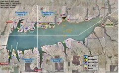
Winfield City Lake Map
Recreation map of Winfield City Lake in Winfield, Kansas. Named Timber Creek Lake. Shows camping...
340 miles away
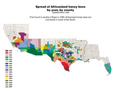
US African Honey Bee Map
Map of the US spread of Africanized honey bees by year, by county, from 1990 to 2007.
341 miles away
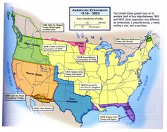
American Expansion 1818-1853 Map
Shows the four major steps through which the US gained most of it's western land between 1818...
344 miles away
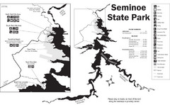
Seminoe State Park Map
Seminoe State Park offers excellent fishing, boating and wildlife-viewing opportunities.
346 miles away
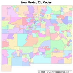
New Mexico Zip Codes Map
347 miles away
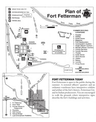
Fort Fetterman State Historic Site Map
Fort Fetterman, located approximately 11 miles northwest of Douglas. The fort was established as a...
350 miles away
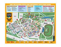
Oklahoma State Fair Park Map
Map of the Centennial Expo Park of the Oklahoma State Fair in The State Fair is spread out over...
351 miles away
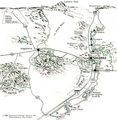
Socorro, New Mexico Guide Map
Trails and mountains map in and around Socorro, New Mexico
352 miles away
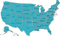
United States Map
353 miles away
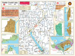
Tuttle Creek Lake Map
Army Corps of Engineers Map of Tuttle Creek Lake and adjoining State Parks.
354 miles away
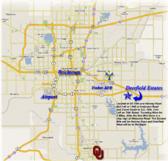
Oklahoma City, Oklahoma Tourist Map
354 miles away
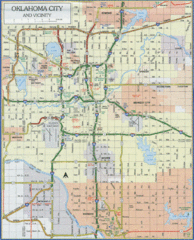
Oklahoma City, Oklahoma Tourist Map
354 miles away
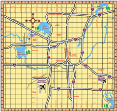
Oklahoma City, Oklahoma Tourist Map
354 miles away
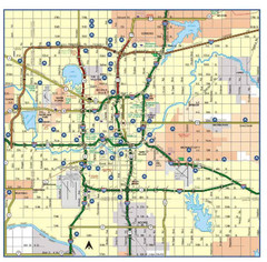
Oklahoma City, Oklahoma Tourist Map
354 miles away
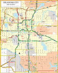
Oklahoma City, Oklahoma Tourist Map
354 miles away
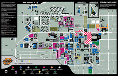
Oklahoma State University Map
355 miles away
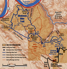
Slickrock Trail Map
Trail map of the famous Slickrock mountain biking trail in Moab, Utah. Trail distances shown. 10...
355 miles away
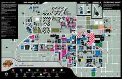
Oklahoma State University Map
Oklahoma State University Campus Map. All buildings shown.
356 miles away
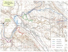
Moab Mountain Unicycling Festival Trail Map
Moab Area Topo Map with trails marked for festival
356 miles away
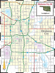
Oklahoma City, Oklahoma City Map
356 miles away
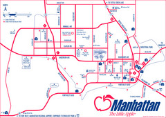
Manhattan (Kansas) City Map
City Map of Manhattan, Kansas including Kansas State University
356 miles away
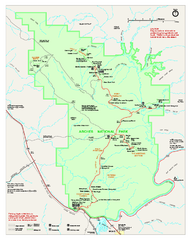
Arches National Park Official map
Official NPS park map of Arches National Park. Shows trails, roads, and all park facilities.
357 miles away
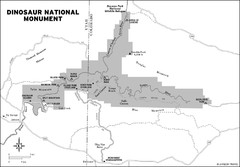
Dinosaur National Monument Map
358 miles away

