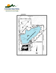
Mancos State Park Map
Map of park with detail of recreation zones
291 miles away
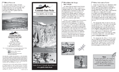
Yampa River State Park Map
Map of park with detail of recreation zones
291 miles away
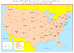
Electoral Votes by State Map
Electoral vote distribution by state
292 miles away
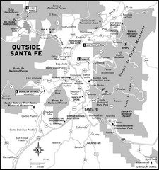
Surrounding Santa Fe, New Mexico Area Map
294 miles away
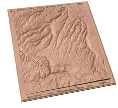
Uncompahgre Plateau by carvedmaps.com Map
Uncompahgre Plateau
296 miles away
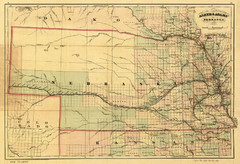
1874 Nebraska Railroad Map
Road Map and Guide to Railroads in Nebraska, used for settlers
296 miles away
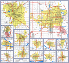
Nebraska City Road Maps Map
Shows roads/highways in 13 Nebraska cities.
296 miles away
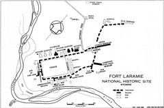
Fort Laramie Guide Map
A layout of the National Historic site Fort Laramie in Wyoming.
297 miles away
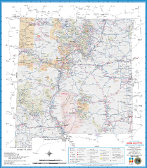
New Mexico Road Map
Detailed road map of state of New Mexico
297 miles away
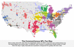
NFL Fan Bases Map
Shows US fan bases of NFL teams
300 miles away
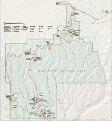
Mesa Verde National Park Official Park Map
Official NPS map of Mesa Verde National Park in Colorado. Mesa Verde National Park is open year...
303 miles away
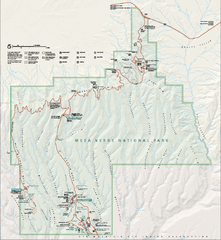
Mesa Verde National Park Official Park Map
Official NPS map of Mesa Verde National Park in Colorado. MESA VERDE NATIONAL PARK IS OPEN DAILY...
303 miles away
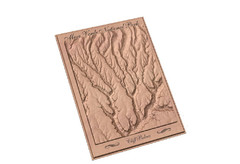
Mesa Verde carved by carvedmaps.com Map
Carved map of Mesa Verde in Colorado by carvedmaps.com
303 miles away
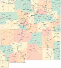
New Mexico Road Map
Detailed road map of New Mexico state
304 miles away
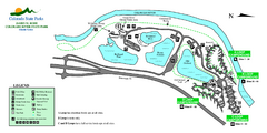
Island Acres State Park Map
Map of island acres section of the James M Robb Colorado River State Park
305 miles away
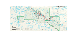
Chaco Culture National Historical Park Official...
Official NPS map of Chaco Culture National Historical Park in New Mexico. The park is open...
305 miles away
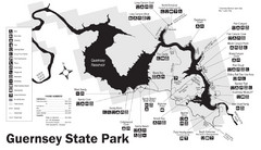
Guernsey State Park Map
The park has long been known as a haven for boating, camping, hiking and picnicking, but its real...
306 miles away
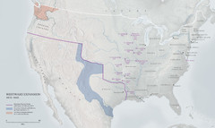
United States, Westward Expansion Map
306 miles away
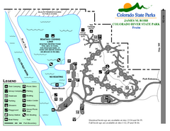
Fruita Area State Park Map
Map of fruita section of the James M Robb Colorado River State Park
306 miles away
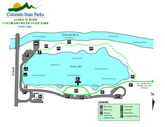
Corn Lake State Park Map
Map of corn lake section of the James M Robb Colorado River State Park
307 miles away
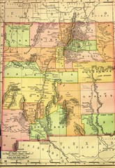
New Mexico 1895 Map
307 miles away
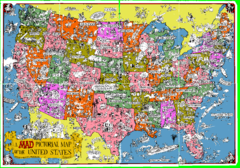
A MAD Pictorial Map of the United States - Front...
I found these raw assembled scans in a dieing torrent in 2010. Hash code...
308 miles away
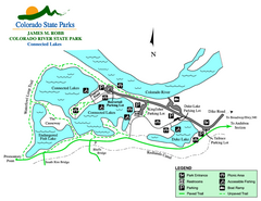
Connected Lakes State Park Map
Map of connected lakes section of the James M Robb Colorado River State Park
308 miles away
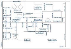
Goessel City Map
City Map of Goessel, Kansas
309 miles away
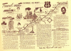
Route 66 Stops Between Shamrock, Texas and Los...
Route 66 Landmarks
310 miles away
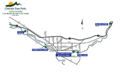
James M Robb Colorado River State Park Map
Overview map of park along lake
311 miles away
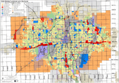
Wichita Functional Land Use Guide Map
Development map for future land use by 2030
311 miles away
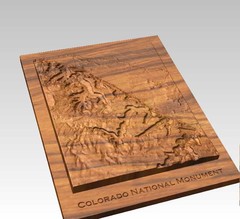
Colorado National Monument carved by CarvedMaps...
Colorado National Monument near Grand Junction, CO. was carved by CarvedMaps.com They can carve...
313 miles away
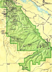
Colorado National Monument Map
313 miles away
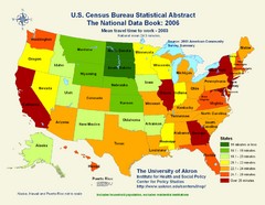
United States Travel Time to Work Statistical Map
313 miles away
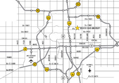
Wichita, Kansas City Map
313 miles away
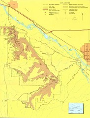
Colorado National Monument Map
Map of Colorado National Monument and surrounding areas.
314 miles away
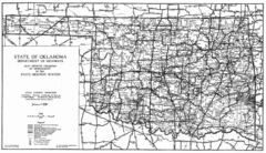
Oklahama Highway Map
Highway Map of Oklahoma State circa 1935. Includes all roads, towns, and detailed information on...
315 miles away
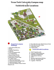
Texas Tech University Map
Campus Map of Texas Tech University. All buildings shown.
317 miles away
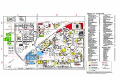
Texas Tech University Parking/ Visitor Map
Map showing all buildings, and detailed parking information at Texas Tech University.
317 miles away
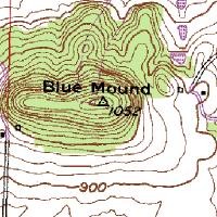
Mont Bleau Ski Trail Map
Trail map from Mont Bleau. This ski area opened in 1965/66.
317 miles away
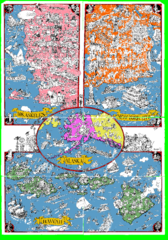
A MAD Pictorial Map of the United States - Back...
I found these raw assembled scans in a dieing torrent in 2010. Hash code...
317 miles away
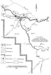
Capitol Reef Trail Map
Hiking trails near Fruita, Colorado
317 miles away
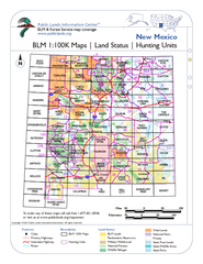
Index of BLM Maps for NM Hunting Units Map
This handy index shows the BLM surface management (land ownership) maps you need for all the...
318 miles away

