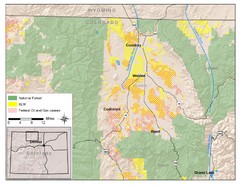
North Park Colorado Map
235 miles away
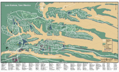
Los Alamos, New Mexico City Map
235 miles away
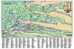
Los Alamos Street map
Los Alamos, New Mexico street and point of interest map. Mesas are colored green.
236 miles away
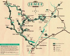
Jemez Mountains, New Mexico Tourist Map
239 miles away
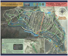
Pajarito Mountain Summer Bike Hike Trail Map
Pajarito Ski Area offers summer bike and hike lift service weekends. When lifts are not running...
239 miles away
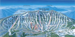
Pajarito Ski Trail Map
Official ski trail map of Pajarito ski area from the 2007-2008 season.
239 miles away
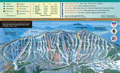
Pajarito Mountain Ski Trail Map
Trail map from Pajarito Mountain.
239 miles away
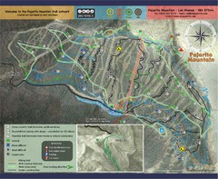
Pojarito Mountain bike Trail Map
Bike trail for Pojarito Mountain, New Mexico
240 miles away
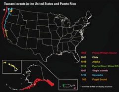
US Tsunami Events Map
Shows tsunami events in the US and Puerto Rico from 900 to 1964. Map not to scale. This map shows...
241 miles away
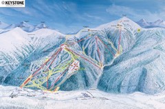
Keystone Ski Area Map
Ski trails, lifts and mountain elevations for Keystone and Bear Mountain, Colorado.
241 miles away
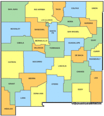
New Mexico Counties Map
242 miles away
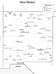
New Mexico Airports Map
242 miles away
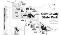
Curt Gowdy State Park Map
Curt Gowdy is a recreation area with three reservoirs. It's great for fishing, camping, water...
245 miles away
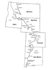
Continental Divide Trail Graphic Map
Guide to the Continental Divide Trail, with major cities and stopping points
248 miles away
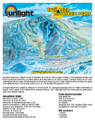
Sunlight Mountain Resort Ski Trail Map
Trail map from Sunlight Mountain Resort, which provides downhill, nordic, and terrain park skiing...
250 miles away
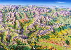
Ouray, Colorado area map
Regional artistic aerial view of the Ouray area and surrounding San Juan Mountains. Shows...
252 miles away
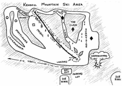
Kendall Mountain Ski Trail Map
Trail map from Kendall Mountain, which provides downhill and nordic skiing. It has 1 lift servicing...
253 miles away

Glenwood Springs, CO carved by CarvedMaps.com Map
Glenwood Springs, Colorado carved by CarvedMaps.com Virtually anywhere within the US can be carved...
253 miles away
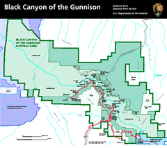
Black Canyon of the Gunnison National Park Map
Official NPS map of Black Canyon of the Gunnison in Colorado. Shows all areas including the South...
254 miles away
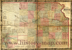
Kansas Railroad Map 1867
Here for your perusal is a sectional map of the state of Kansas showing the route of the Union...
254 miles away
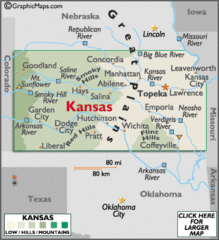
Kansas Elevations Map
254 miles away
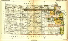
Kansas Native American Territories 1866-1867 Map
489., 492 Cherokee, 19 Jul 1866 (on Indian Territory Map 22, Kansas, Map 27) 495. Sauk and Fox of...
254 miles away
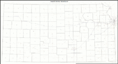
Kansas Zip Code Map
Check out this Zip code map and every other state and county zip code map zipcodeguy.com.
254 miles away
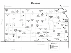
Kansas Airports Map
254 miles away
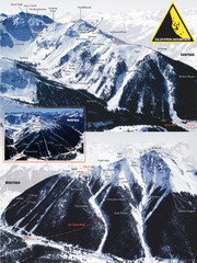
Silverton Ski Trail Map
Ski trail map of Silverton Mountain in Silverton, Colorado. Lift-serviced backcountry conditions...
256 miles away
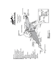
Stagecoach State Park Map
Map of park with detail of campgrounds and recreation zones
256 miles away

Kansas Map Circa 1910
256 miles away
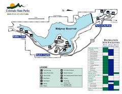
Ridgway State Park Map
Map of park with detail of recreation zones
257 miles away
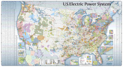
US Electric Power System Map
Map showing the US electric power system. from site: "shows power generation and transmission...
258 miles away
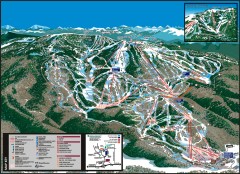
Steamboat Ski Area Ski trail map
Official ski trail map of Steamboat ski area in Steamboat Springs, CO from the 2006-2007 season...
259 miles away
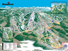
Steamboat Ski Resort Ski Trail Map
Trail map from Steamboat Ski Resort, which provides downhill and terrain park skiing. It has 18...
260 miles away
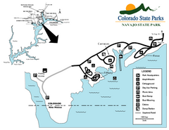
Navajo State Park Map
Map of park with detail of recreation zones
260 miles away
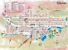
Telluride Town Map
261 miles away
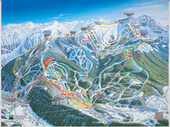
Telluride, Colorado Trail Map
261 miles away
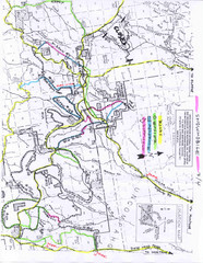
Uncompahgre National Forest Map
National Forest in Western Colorado
261 miles away
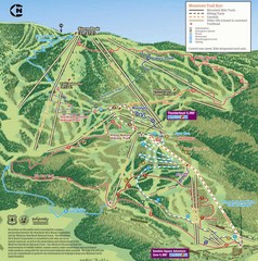
Steamboat Springs Bike Trail Map
Bike trail for Steamboat Springs mountain bike trail.
262 miles away
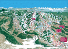
Steamboat Springs Trail Map
Guide to trails in Steamboat Springs Ski Resort, Colorado
262 miles away
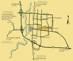
Laramie City Map
City map of Laramie, Wyoming with University of Wyoming highlighted.
262 miles away
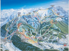
Telluride ski trail map
Official ski trail map of Telluride ski area from the 2006-2007 season.
263 miles away

