
Beaver Mountain Ski Area Ski Trail Map
Trail map from Beaver Mountain Ski Area.
525 miles away
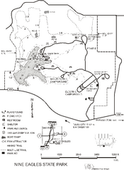
Nine Eagles State Park Map
Map of trails, lake depth and park facilities in Nine Eagles State Park.
525 miles away
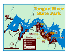
Tongue River Reservoir State Park Map
The 12-mile long reservoir is situated among scenic red shale, juniper canyons, and the open...
526 miles away
Cooper Lake, Texas State Park Map
526 miles away
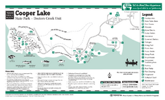
Cooper Lake (Doctors Creek Unit", Texas...
526 miles away
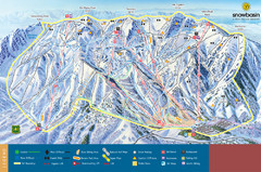
Snowbasin Mountain Trail Map
Ski trail map of Snowbasin Mountain
527 miles away
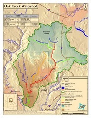
Oak Creek Watershed Map
Colorful Map of Oak Creek Watershed. Includes detailed information about the watershed, roads...
527 miles away
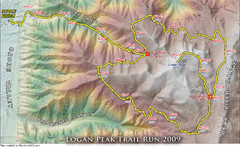
Logan Peak Trail Run Map 2009
Trail run map of the Logan Peak Trail Run 2009 course.
528 miles away
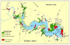
Lake Whitney Tourist Map
Places of interest and activities.
528 miles away
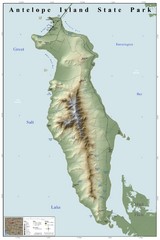
Antelope Island State Park Map
Shaded relief map of Antelope Island State Park, Utah. Shows facilities, peaks, and springs...
528 miles away
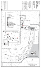
Blue Mounds State Park Map
Map of park with detail of trails and recreation zones
528 miles away
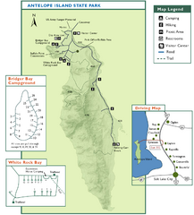
Antelope Island State Park Map
Trail map of Antelope Island State Park in the Great Salt Lake, Utah. Shows campgrounds.
528 miles away
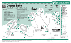
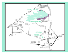
Cooper Lake "South Sulphur Unit", Texas...
529 miles away
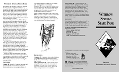
Withrow Springs State Park Map
Map for Withrow Springs State Park showing hiking trails and park amenities.
529 miles away
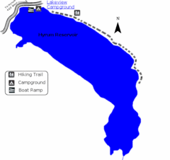
Hyrum State Park Map
Tucked away in Cache County, Hyrum State Park offers many recreation opportunities including...
529 miles away
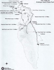
Antelope Island State Park Map
Antelope Island State Park, the largest island in the Great Salt Lake, is home to a roaming herd of...
529 miles away
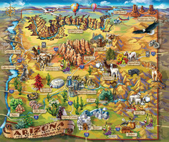
Arizona Fun Map
530 miles away
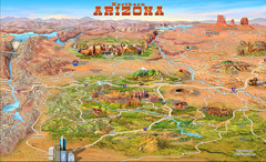
Northern Arizona attractions Map
530 miles away
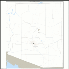
Arizona Zip Code Map
Check out this Zip code map and every other state and county zip code map zipcodeguy.com.
530 miles away
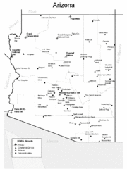
Arizona Airports Map
530 miles away
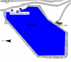
Willard Bay State Park Map
Boat, swim, waterski, and fish on the warm waters of Willard Bay. Camp under tall cottonwood trees...
531 miles away
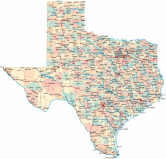
Texas Map
Map of state of Texas, denoting towns and highways
532 miles away
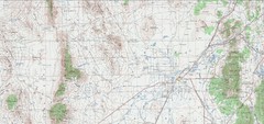
Delta Quad Sheet Detail 1972 Map
532 miles away
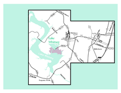
Lake Whitney, Texas State Park Map
532 miles away
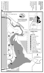
Split Rock Creek State Park Summer Map
Summer seasonal map of park with detail of trails and recreation zones
532 miles away
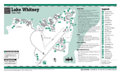
Lake Whitney, Texas State Park Facility and Trail...
532 miles away
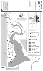
Split Rock Creek State Park Winter Map
Winter seasonal map of park with detail of trails and recreation zones
532 miles away
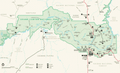
Grand Canyon National Park map
Official map of Grand Canyon National Park. Currently not available on the NPS website
533 miles away
Wilson's Creek National Battlefield Official...
Official NPS map of Wilson's Creek National Battlefield in Missouri. Open Daily, except...
533 miles away
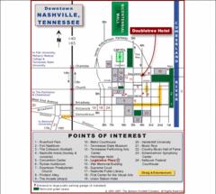
Nashville, TN Tourist Map
533 miles away
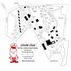
Uncle Gus' RV Park Map
534 miles away
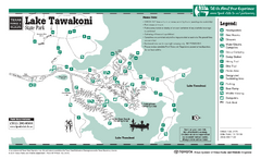
Lake Tawakoni, Texas State Park Facility and...
534 miles away
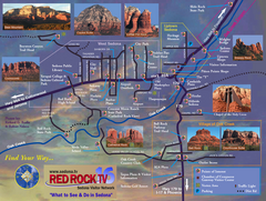
Sedona Tourist Map
Tourist map of Sedona, AZ. Shows points of interest and photos of local red rock formations and...
534 miles away

Texas River Map
536 miles away
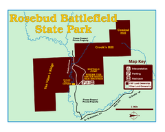
Rosebud Battlefield State Park Map
This National Historic Landmark on the rolling prairie of eastern Montana preserves the site of the...
536 miles away
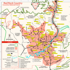
Red Rock County Trail Map
Trail map of trails of Red Rock County, AZ around Sedona, AZ. Shows trailheads and trail names.
536 miles away
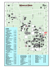
Missouri State University Map
Missouri State University Campus Map. All buildings shown.
536 miles away
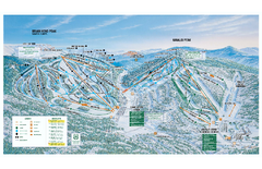
Brian Head Ski Trail Map
Official ski trail map of Brian Head ski area from the 2007-2008 season.
536 miles away
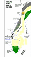
Coral Pink Sand Dunes State Park Map
Rippling arcs of rust-colored sand welcome you as you enter Coral Pink Sand Dunes State Park...
537 miles away


