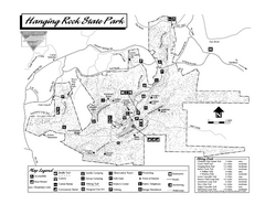
Hanging Rock State Park map
Detailed recreation map for Hanging Rock State Park in North Carolina
207 miles away
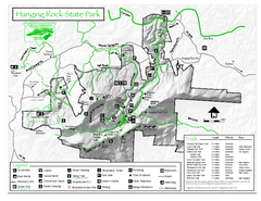
Hanging Rock state park Map
Interior color map of Hanging Rock State Park.
207 miles away
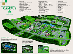
Coastal Carolina University campus map
Coastal Carolina University campus map
207 miles away

Huntington Beach State Park Map
Detailed map and legend of this beautiful state park.
207 miles away
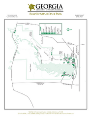
Reed Bingham State Park Map
Map of park with detail of trails and recreation zones
209 miles away
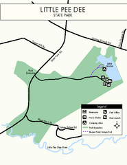
Little Pee Dee Map
Simple state park map.
209 miles away
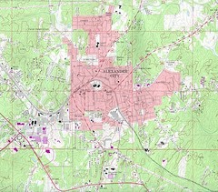
Alexander City Map
Topography city map of Alexander City, Alabama
209 miles away
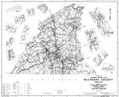
Mccreary County General Highway Map
Map of McCreary County with road, waterways and towns identified.
209 miles away
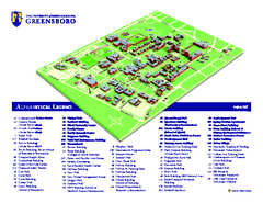
The University of North Carolina - Greensboro Map
The University of North Carolina - Greensboro Campus Map. All buildings shown.
210 miles away
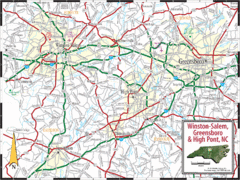
Greensboro, North Carolina City Map
210 miles away
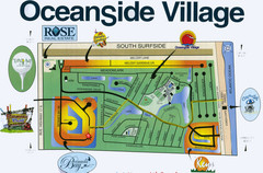
Oceanside Village Map Copy
Map of Oceanside Village Living Community
210 miles away
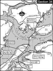
Guntersville, AL Tennessee River/Lake...
For boating navigational information and river road travel along the Tennessee River. This section...
211 miles away
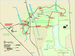
Guilford Courthouse National Military Park...
Official NPS map of Guilford Courthouse National Military Park in North Carolina. Open All Year 8...
211 miles away
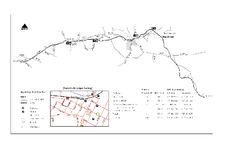
High Bridge Trail Map
Take a hike down this amazing Virginia trail.
212 miles away
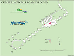
Cumberland Falls Map
213 miles away
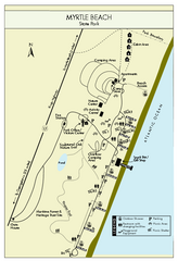
Myrtle Beach State Park Map
Clearly marked state park map
213 miles away
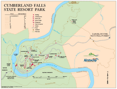
Cumberland Falls State Resort Park map
Detailed recreation map for Cumberland Falls State Resort Park in Kentucky
214 miles away
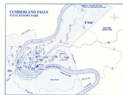
Cumberland Falls State Resort Park Map
Cumberland Falls Park Area Map
214 miles away
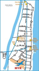
Myrtle Beach Map
215 miles away
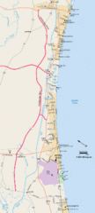
Greater Myrtle Beach Guide Map
215 miles away
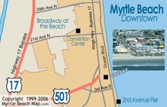
Myrtle Beach Tourist Map
215 miles away
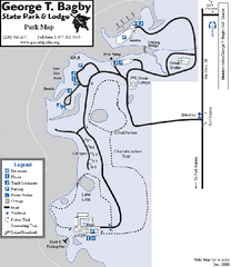
George T. Bagby State Park Map
Map of park with detail of trails and recreation zones
219 miles away
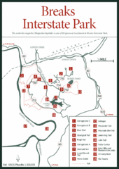
Breaks Interstate Park Map
Clear park map and legend.
221 miles away
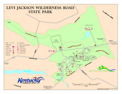
Levi Jackson Wilderness Road State Park Map
Map of trails and facilities of Levi Jackson Wilderness Road State Park.
222 miles away
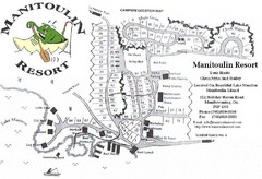
Manitoulin Resort Map
222 miles away
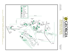
Kolomoki Mounds State Park Map
Map of park with detail of trails and recreation zones
226 miles away
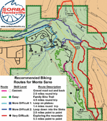
Monte Sano State Park Bike Routes Map
Recommended Biking Routes for Monte Santo with Easy to difficult routes marked.
228 miles away
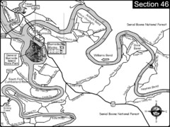
Burnside, KY-Cumberland River Map
Burnside, Kentucky is located at the fork of the Cumberland River and the South Fork. This is...
229 miles away
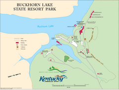
Buckhorn Lake State Resort Park Map
Map of Trails and Facilities of Buckhorn Lake State Resort Park.
230 miles away
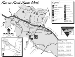
Raven Rock State Park Map
231 miles away
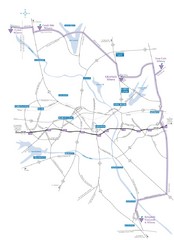
Haw River Wine Trail Map
232 miles away
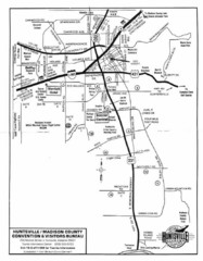
Huntsville City Map
City map of Huntsville, Alabama
232 miles away
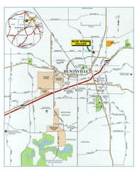
Huntsville, Alabama City Map
232 miles away
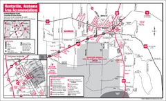
Huntsville Alabama Tourist Map
Map of Huntsville, Alabama showing hotels and streets for the downtown area.
232 miles away
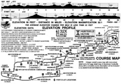
Rocket City Marathon Elevation Map
Course Map and Elevation Profile of the Rocket City Marathon in Huntsville, AL
232 miles away
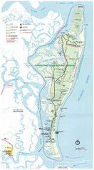
Cumberland Island Map
Map of Cumberland Island, including hiking trails and campgrounds
233 miles away
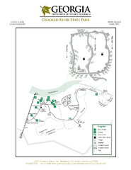
Crooked River State Park Map
Map of park with detail of trails and recreation zones
233 miles away
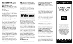
Claytor Lake State Park Map
Map of this beautiful state park.
233 miles away
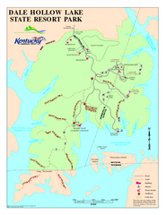
Dale Hollow Lake State Park Map
Map of trails and facilities of Dale Hollow Lake State Park.
233 miles away
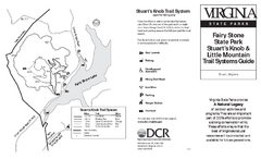
Fairy Stone State Park Map
Clearly marked state park map with trail system.
234 miles away

