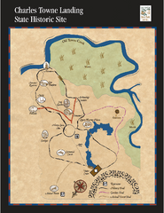
Charles Towne Landing State Park Map
This small park is full of beautiful hiking trails set in a natural setting.
175 miles away

Little River Canyon Tourist Map
Little River Canyon, Alabama
177 miles away
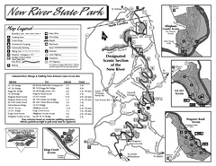
New River State Park map
Detailed recreation map for the New River State Park in North Carolina
177 miles away
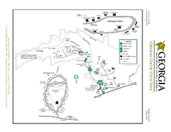
General Coffee State Park Map
Map of park with detail of trails and recreation zones
178 miles away

Charleston Tourist Map
Tourist map of Charleston, South Carolina. Shows activities and museums.
178 miles away
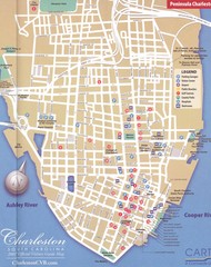
Charleston, South Carolina Tourist Map
Downtown.
178 miles away
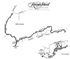
Kiawah Island Triathlon Map
Map of Kiawah Island Triathlon course, 2002
179 miles away
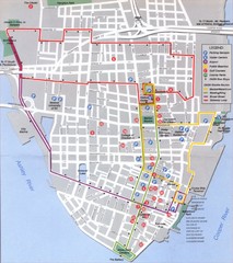
Charleston, South Carolina Tourist Map
179 miles away
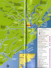
Charleston, South Carolina Tourist Map
179 miles away
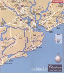
Charleston, South Carolina Tourist Map
179 miles away
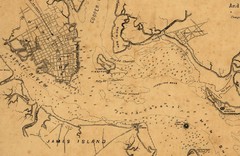
Plan of Charleston Harbor (Civil War) Map
180 miles away
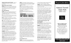
Natural Tunnel State Park Map
Detailed and informative state park map and legend.
184 miles away
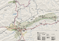
Cumberland Gap National Historical Park Official...
Official NPS map of Cumberland Gap National Historical Park in Virginia-Tennessee-Kentucky. Map...
186 miles away
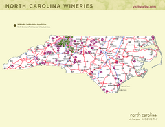
North Carolina Wine Map
Map of North Carolina wineries. 2nd page of PDF has winery listings
186 miles away
Grayson Highlands State Park Map
Clear and descriptive map of this beautiful state park.
186 miles away
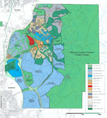
Mcclellan Land Use Map
"When the last note of taps played and the garrison flag was lowered at Fort McClellan in...
186 miles away
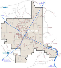
Rainsville Street Map
Chamber of Commerce Business Guide
187 miles away
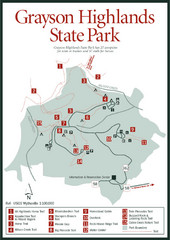
Grayson Highlands State Park Map
187 miles away

Abraham Balwin Agricultral College Campus Map
188 miles away
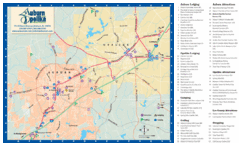
Auburn and Opelika City Map
Map of Auburn and Opelika, Alabama with tourist information.
192 miles away
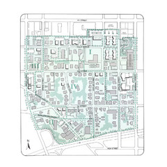
Downtown Wiston-Salem Map
The Holly Avenue neighborhood located on the southwestern edge of downtown Winston-Salem has...
192 miles away
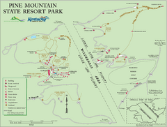
Pine Mountain State Resort Park Map
Map of trails and facilities in Pine Mountain State Resort Park .
193 miles away
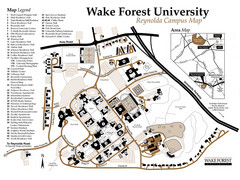
Wake Forest University Map
Campus map of Reynolda Campus
193 miles away
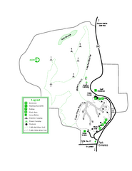
Providence Canyon State Park Map
Map of park with detail of trails and recreation zones
194 miles away
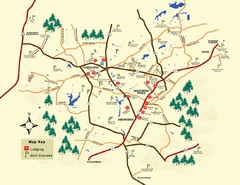
Pinehurst Golf Map
194 miles away
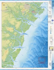
Gray's Reef National Marine Sanctuary Map
Gray's Reef National Marine Sanctuary , designated in January 1981, is one of the largest near...
195 miles away
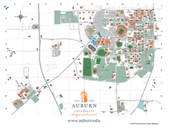
Auburn University Map
Campus Map of Auburn University. All areas shown.
195 miles away
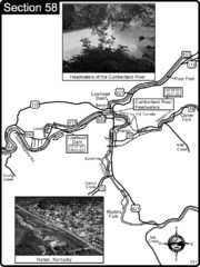
Harlan, KY-Cumberland River Headwaters Map
Section 58 of the Cumberland River Guidebook shows the beginning of the Cumberland River at the...
195 miles away
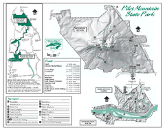
Pilot Mountain State Park map
Detailed recreation map for Pilot Mountain State Park in North Carolina
196 miles away
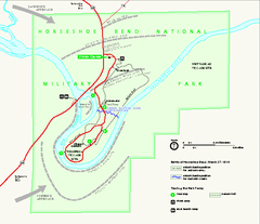
Horseshoe Bend National Military Park Official Map
Official NPS map of Horseshoe Bend National Military Park in Alabama. Horseshoe Bend National...
196 miles away
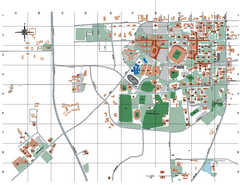
Auburn University Map
196 miles away
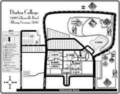
Darton College Campus Map
197 miles away
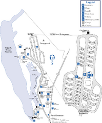
Florence Marina State Park Map
Map of park with detail of trails and recreation zones
198 miles away
Blue Ridge Parkway Official Map
Official NPS map of the Blue Ridge Parkway. The Parkway meanders 469 miles through Virginia and...
200 miles away
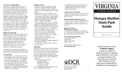
Hungry Mother State Park Map
Detailed map of this small state park.
202 miles away
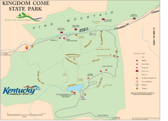
Kingdom Come State Park Map
Trail map for Kingdom Come State Park.
202 miles away

Guntersville Lake Map
204 miles away
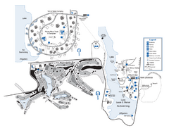
Laura S. Walker State Park Map
Map of park with detail of trails and recreation zones
205 miles away
New River Trail State Park Map
Clear and detailed state park map.
205 miles away
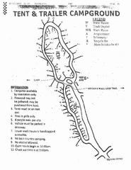
Hanging Rock, campground site map
Hanging Rock State park, map of family campground sites
206 miles away

