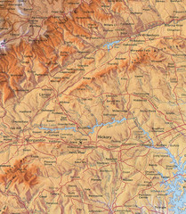
North Carolina Mountains Map
Location of the South, Brushy, and Blue Ridge Mountain ranges in Western North Carolina.
135 miles away
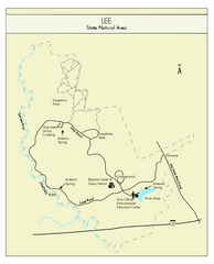
Lee State Park Map
Simple map of this state park.
138 miles away
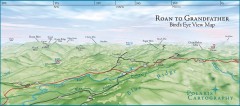
Panoramic View of Roan to Grandfather Map
This panorama takes in the vista from Roan to Grandfather mountain - overlooking the upper Linville...
139 miles away
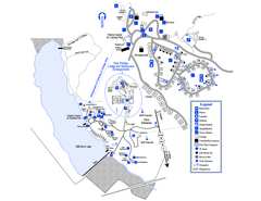
Little Ocmulgee State Park Map
Map of park with detail of trails and recreation zones
139 miles away
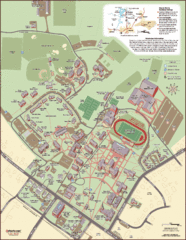
Davidson College Campus Map
Detailed map of Davidson College's campus.
140 miles away
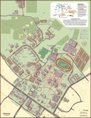
Davidson College Campus Map
Clear map of Davidson College.
140 miles away
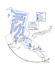
Gordonia-Alatamaha State Park Map
Map of park with detail of trails and recreation zones
141 miles away
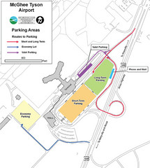
McGhee Tyson Airport Map
143 miles away
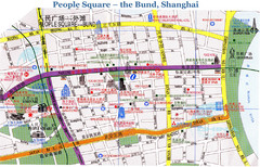
Bund Shanghai Tourist Map
143 miles away
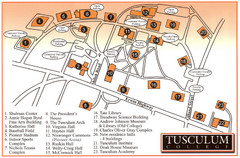
Tusculum College Campus Map
Campus map of Tusculum College in
144 miles away
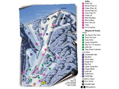
Sugar Mountain Resort Ski Trail Map
Trail map from Sugar Mountain Resort.
147 miles away
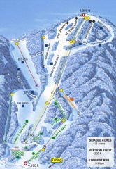
Sugar Mountain Ski Trail Map
Official ski trail map of Sugar Mountain ski area
147 miles away
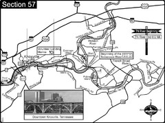
Knoxville, TN Tennessee River/Holston River...
This is the source of the Tennessee River at the confluence of the Holston River and French Broad...
148 miles away
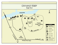
Givhans Ferry State Park Map
Map marked with shelter, phone, restrooms, picnic and more.
148 miles away

UWG Campus Map
148 miles away
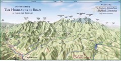
Panoramic Map of the Highlands of Roan (from TN)
Panoramic map of the Highlands of Roan as seen from Tennessee.
148 miles away

Roan Mountain Panorama Map
Panoramic Map of the View from the Baud Family Cabin of Roan Mountain, TN. The view overlooks...
148 miles away
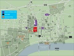
University of Tennessee Map
Map with locations of downtown Tennessee.
149 miles away
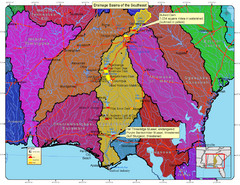
Drainage Basins of the Southeast United States Map
Lakes, rivers and dams in the Apalachicola, Chattahoochee and Flint River System.
149 miles away

University of Tennessee Map
149 miles away
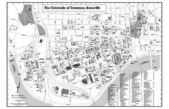
University of Tennessee Map
Campus Map of the University of Tennessee. All areas shown.
149 miles away
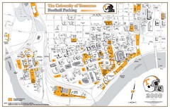
University of Tennessee Tourist Map
149 miles away
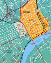
Knoxville, TN Tourist Map
149 miles away
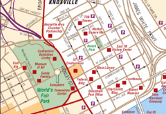
Knoxville, TN Tourist Map
149 miles away
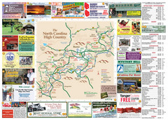
Avery County Attractions Map
Avery County Attractions Map
149 miles away

Avery County Restaurants Map
Avery County Tourist Map
149 miles away
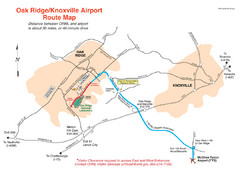
Knoxville and Oakridge Airports Map
150 miles away

Knoxville, Tennessee City Map
150 miles away
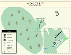
Woods Bay State Park Map
Clear map of this small yet beautiful state park.
150 miles away
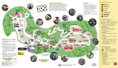
Knoxville Zoo Map
151 miles away
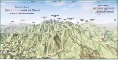
Panoramic Map of the Highlands of Roan (from NC)
Panoramic Map of the Roan Mountain Highlands as seen from North Carolina.
151 miles away
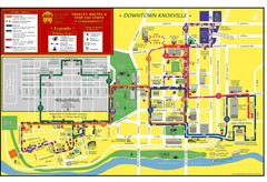
Knoxville, TN Tourist Map
151 miles away
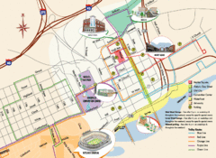
Knoxville, TN Tourist Map
151 miles away
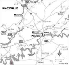
Knoxville, TN Tourist Map
151 miles away
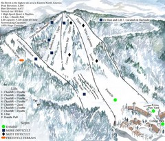
Beech Mountain Ski Resort Ski Trail Map
Trail map from Beech Mountain Ski Resort.
151 miles away
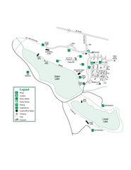
John Tanner State Park Map
Map of park with detail of trails and recreation zones
151 miles away
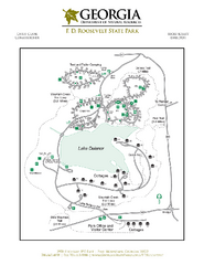
F.D. Roosevelt State Park Map
Map of park with detail of trails and recreation zones
151 miles away
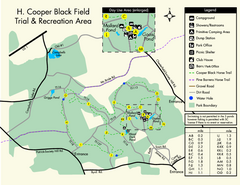
H. Cooper Black Field Map
Detailed map and legend of this state park.
154 miles away
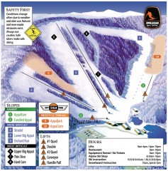
Appalachian Ski Trail Map
Official ski trail map of Appalachian ski area
154 miles away
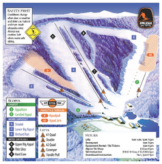
Appalachian Ski Mtn. Ski Trail Map
Trail map from Appalachian Ski Mtn..
154 miles away

