
Six Flags Over Georgia Theme Park Map
Official Park map of Six Flags Over Georgia in Atlanta.
114 miles away
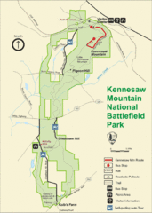
Kennesaw Moutain National Battlefield Park Map
114 miles away
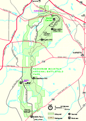
Kennesaw Mountain National Battlefield Park...
Official NPS map of Kennesaw Mountain National Battlefield Park in Georgia. We are a day use only...
114 miles away
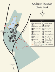
Andrew Jackson State Park Map
Clear and legible park map and legend.
115 miles away
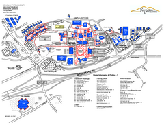
Kennesaw State University Map
Kennesaw State University Campus Map. All buildings shown.
115 miles away
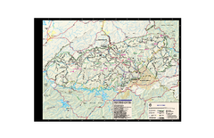
Great Smoky Mountains National Park - Trail map
Official trail map of Great Smoky Mountains National park. Shows all trails, park roads, visitor...
117 miles away
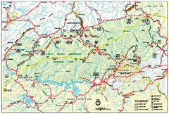
Great Smoky Mountains National Park - Park map
Official park map of Great Smoky Mountains National park. Shows location of all park roads...
117 miles away
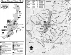
Mount Mitchell State Park map
Official map of Mt. Mitchell State Park in North Carolina. Park contains the 6,684 ft summit of...
117 miles away
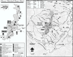
Mount Mitchell State Park map
Detailed recreational map for Mt. Mitchell State Park in North Carolina
117 miles away
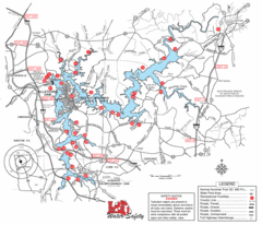
Allatoona Lake Map
117 miles away
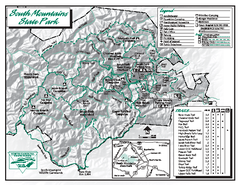
South Mountains State Park map
Detailed recrational map for South Mountain State Park in North Carolina
118 miles away
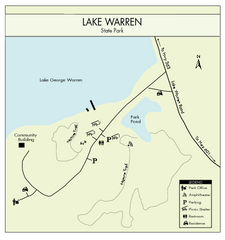
Lake Warren State Park Map
Clearly marked state park map.
120 miles away
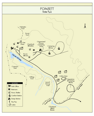
Poinsett State Park Map
Map and legend for this wonderful state park, marking bathrooms, camping grounds, roads, and more.
120 miles away
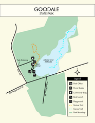
Goodale State Park Map
Easy to read state park map.
120 miles away
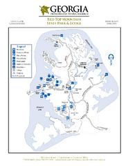
Red Top Mountain State Park Map
Map of park with detail of trails and recreation zones
120 miles away
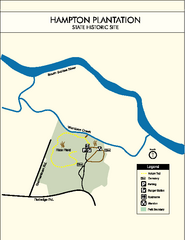
Hampton Plantation State Park Map
Clear and easy to read map.
120 miles away
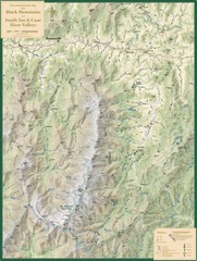
Black Mountains and South Toe and Cane River...
Guide to recreation around Mt. Mitchell State Park and Black Mountains
121 miles away
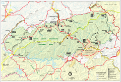
Great Smokey Mountains National Park Trail Map
Hiking trails.
121 miles away
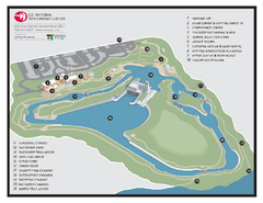
US National Whitewater Center Map
Facility map of the US National Whitewater Center in Charlotte, North Carolina
122 miles away
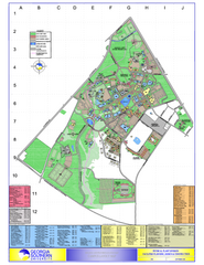
Georgia Southern University Map
Georgia Southern University Campus Map. All buildings shown.
123 miles away
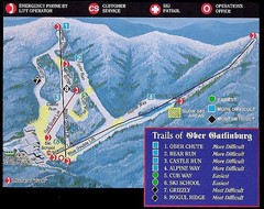
Ober Gatlinburg Ski Resort Ski Trail Map
Trail map from Ober Gatlinburg Ski Resort.
124 miles away
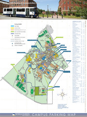
Georgia Southern University Map
Campus Map
125 miles away
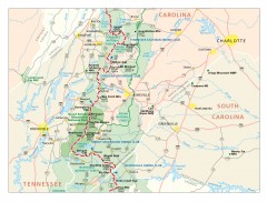
Appalachian Trail in North Carolina Map
Appalachian Trail in North Carolina. Shows major summits, National Forests, and hiking clubs.
126 miles away
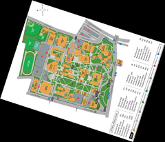
Queen's College Map
126 miles away
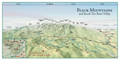
Black Mountains Panorama Map
This map portrays a sweeping vista of the Black Mountains and South Toe River Valley - extending...
127 miles away

Charlotte, North Carolina City Map
127 miles away
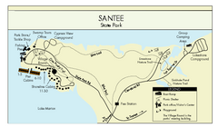
Santee State Park Map
Clear state park map.
127 miles away
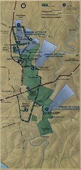
Antietam National Battelfield Map
128 miles away
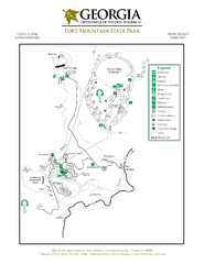
Fort Mountain State Park Map
Map of park with detail of trails and recreation zones
128 miles away
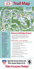
Wolf Laurel Ski Resort Ski Trail Map
Trail map from Wolf Laurel Ski Resort.
129 miles away
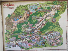
Dollywood Park Map
130 miles away
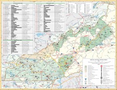
Pisgah National Forest and Nantahala National...
Pisgah National Forest and Nantahala National Forest recreation map. Contains list of all...
133 miles away
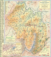
Yancey County Chamber of Commerce Map
Map of Yancey County, North Carolina. Shows all public roads, communities, hiking trails and picnic...
134 miles away
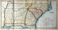
Southern Parts of the US Map
"This map was initially published in Morse's American Gazetteer in 1797 with Georgia...
135 miles away
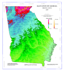
Map of Georgia Elevations
Digital elevation map of Georgia, U.S.
135 miles away
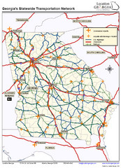
Georgia Transportation Map
135 miles away
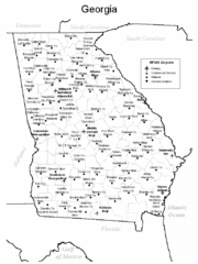
Georgia Tourist Map
135 miles away
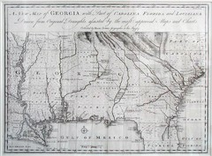
Georgia Map
Map of Georgia circa 1748. Includes Georgia and parts of the Carolinas, Florida and Louisiana.
135 miles away
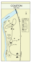
Colleton State Park Map
Detailed map and map legend of this beautiful state park.
135 miles away
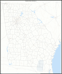
Georgia Zip Code Map
Check out this Zip code map and every other state and county zip code map zipcodeguy.com.
135 miles away

