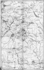
1864 Georgia Map
Used by General Sherman to guide his troops in the Civil War
97 miles away
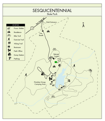
Sesquicentennial State Park Map
Map of this beautiful state park.
97 miles away
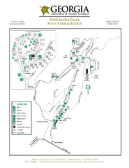
Amicalola Falls State Park Map
Map of park with detail of trails and recreation zones
99 miles away

Waynesville and Lake Junaluska Panoramic Map
Panoramic Map taking in Waynesville, Lake Junaluska and the Richland Creek watershed in Haywood...
100 miles away
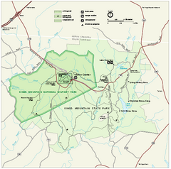
Kings Mountain National Military Park Official Map
Official NPS map of Kings Mountain National Military Park in South Carolina. Open Daily 9:00 a.m...
100 miles away
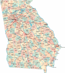
Georgia Road Map
Detailed, colorful road map of the state of Georgia.
101 miles away
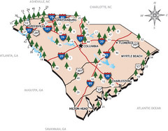
South Carolina State Park Map
Shows state parks in South Carolina
102 miles away
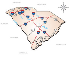
South Carolina Interstate Map
Shows Interstate highways in South Carolina
102 miles away
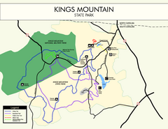
Kings Mountain State Park Map
Clearly marked state park map.
102 miles away
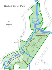
Herbert Taylor Park Map
102 miles away

Asheville School Campus map
Map of the 300-acre campus of Asheville School, a private boarding school for grades 9-12 with...
102 miles away
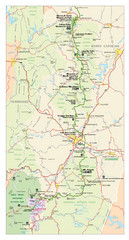
Asheville, North Carolina Parkway Map
102 miles away
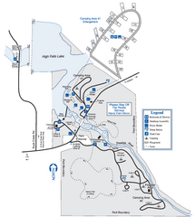
High Falls State Park Map
Map of park with detail of trails and recreation zones
103 miles away
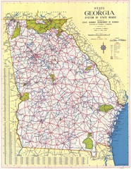
Georgia Road Map
Road map of state of Georgia, 1952
103 miles away
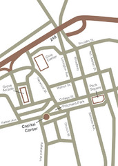
Downtown Asheville Map
Located in the heart of Asheville’s professional, municipal and cultural activity, Capital...
104 miles away
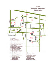
Downtown Asheville Galleria Map
Numbered shopping map of Downtown Asheville.
104 miles away
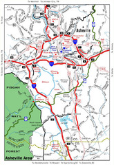
Asheville, NC Tourist Map
105 miles away
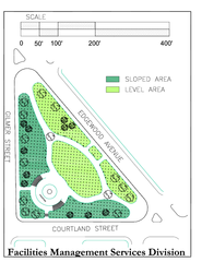
Hurt Park Map
105 miles away
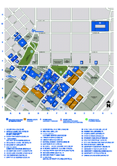
Georgia State University Map
Georgia State University Campus Map. All buildings shown.
105 miles away
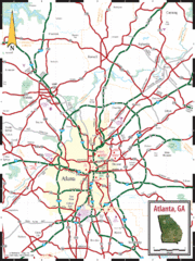
Atlanta, GA Tourist Map
105 miles away
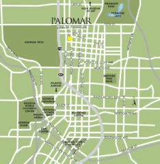
Atlanta Tourist Map
105 miles away
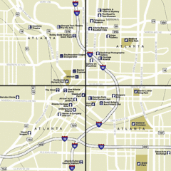
Atlanta, Georgia City Map
105 miles away
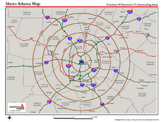
Atlanta Metro Proximity Ring Map
Shows proximity of downtown Atlanta, Georgia to surrounding areas
105 miles away
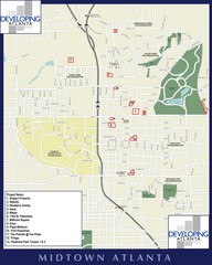
Midtown Atlanta Map
105 miles away
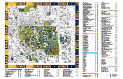
Georgia Institute of Technology Map
Georgia Institute of Technology Campus Map. All buildings shown.
105 miles away

Atlanta MARTA rail map
Official rail map of the Metropolitan Atlanta Rapid Transit Authority.
105 miles away
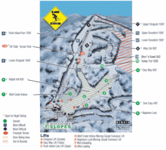
Cataloochee Ski Area Ski Trail Map
Trail map from Cataloochee Ski Area.
105 miles away
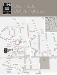
Two Buckhead Plaza/Surrounding Area Map
106 miles away
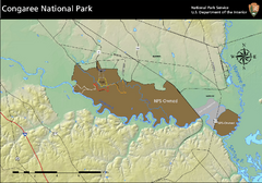
Congaree National Park Official Park Map
Official NPS map of Congaree National Park. Map shows all areas. Congaree National Park is open...
107 miles away
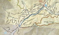
Montreat trail map
Detailed guide to the trail system surrounding the village of Montreat, NC.
109 miles away
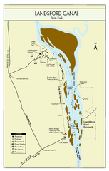
Landsford Canal State Park Map
Clear map with detailed legend marking this beautiful state park.
109 miles away
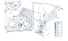
George L. Smith State Park Map
Map of park with detail of trails and recreation zones
110 miles away
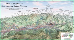
Black Mountain Panorama map
Panoramic map of the Black Mountain, NC and Swannanoa River Valley. Shows all mountains with...
110 miles away
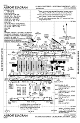
Atlanta Airport Map
110 miles away
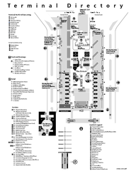
Atlanta Airport Map
110 miles away
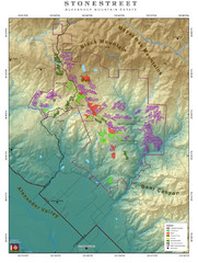
Alexander Mountain Estate Map
Vineyards in Alexander, North Carolina
110 miles away
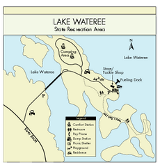
Lake Wateree State Park Map
Clear map of State Park.
112 miles away
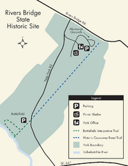
Rivers Bridge State Park Map
Nice and clear map of this history state park.
113 miles away
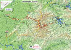
Cherohala Map
Map of Cherohala Skyway. Includes Visitor Information, roads, camping areas, and trails.
113 miles away
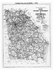
Georgia 1939 Road Map
State Road Map of Georgia in 1939
113 miles away

