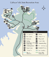
Calhoun Falls State Park Map
Clear map and detailed legend help make this map easy to read and follow.
0 miles away
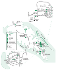
Bobby Brown State Park Map
Map of park with detail of trails and recreation zones
8 miles away
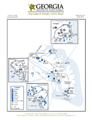
Richard B. Russell State Park Map
Map of park with detail of trails and recreation zones
10 miles away
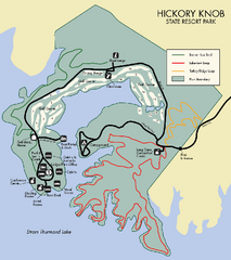
Hickory Knob State Park Map
Detailed map of this beautiful state park.
18 miles away
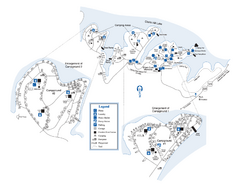
Elijah Clark State Park Map
Map of park with detail of trails and recreation zones
20 miles away
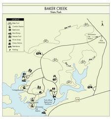
Baker Creek State Park Map
Beautiful park with wonderful views and plenty of wild life.
20 miles away
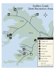
Sadlers Creek State Park Map
This simple map gives you an easy to follow layout of this amazing state park.
26 miles away
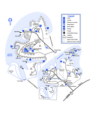
Hart State Park Map
Map of park with detail of trails and recreation zones
27 miles away
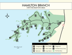
Hamilton Branch State Park Map
Simple state park map.
32 miles away
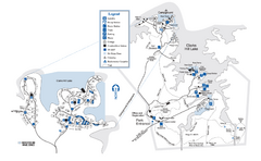
Mistletoe State Park Map
Map of park with detail of trails and recreation zones
33 miles away
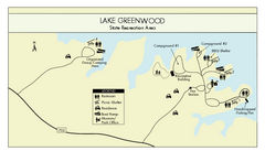
Lake Greenwood State Park Map
Clearly marked state park map on a beautiful waterfront.
38 miles away
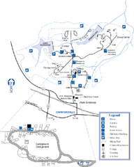
A. H. Stephens Historic Park Map
Map of park with detail of trails and recreation zones
40 miles away
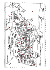
Clemson University Map
42 miles away

Athens Airport Lines Map
42 miles away
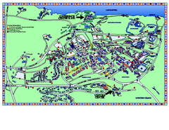
Clemson University Map
Clemson University Campus Map. All buildings shown.
43 miles away
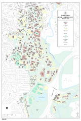
University of Georgia Map
Campus map of the University of Georgia. All buildings shown.
45 miles away

Athens, Georgia City Map
45 miles away
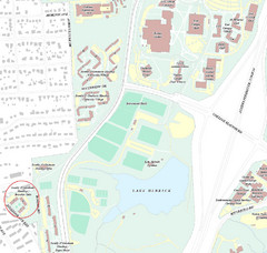
Brandon Town Map
Town of Brandon and University of Georgia Campus
45 miles away

University of Georgia and Surrounding Area Map
46 miles away
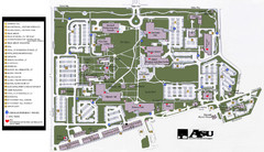
Augusta State University Map
Campus map
54 miles away
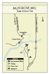
Musgrove Mill State Park Map
Clearly marked state park map.
55 miles away
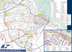
Augusta Public Transit Routes Map
Transit Route Map of the town of Augusta. Includes all streets, some important buildings, and a...
55 miles away
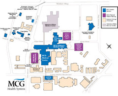
MCG Health System--Medical College of Georgia...
Color-coded map of all buildings on the Medical College of Georgia associated with the MCG Health...
56 miles away
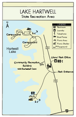
Lake Hartwell State Park Map
Clear state park map.
56 miles away

Lake Oconee Map
58 miles away
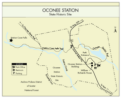
Oconee Station Map
Clear and simple map of Oconee State Park's station.
58 miles away
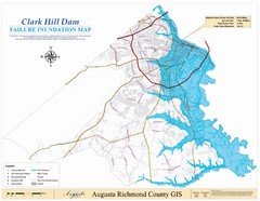
Richmond County Failure Inundation Map
Map of the flood water failure inundation of Augusta Richmond county, Georgia. Includes detailed...
59 miles away
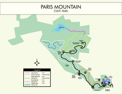
Paris Mountain State Park Map
Clearly labeled map of this beautiful state park.
59 miles away
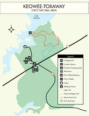
Keowee Toxaway State Park Map
Clear and detailed map of this wonderful state park.
60 miles away
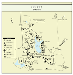
Oconee State Park Map
Beautiful state park clearly mapped with legend.
61 miles away
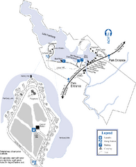
Hamburg State Park Map
Map of park with detail of trails and recreation zones
62 miles away
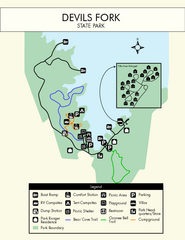
Devils Fork State Park Map
Clearly marked state park map.
63 miles away
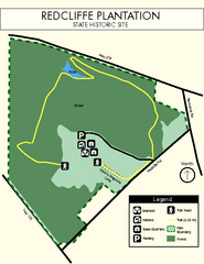
Redcliffe Plantation State Park Map
Clear map of this wonderful state park with a beautiful natural setting.
63 miles away
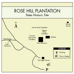
Rose Hill Plantation Map
Clear and simple state park map.
65 miles away
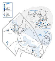
Hard Labor Creek State Park Map
Map of park with detail of trails and recreation zones
65 miles away
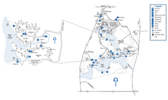
Fort Yargo State Park Map
Map of park with detail of trails and recreation zones
65 miles away
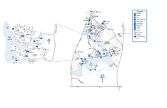
Fort Yargo State Park map
Detailed recreation and camping map for Fort Yargo State Park in Georgia
65 miles away
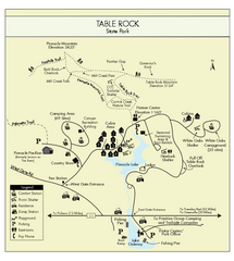
Table Rock State Park MAP
Clear and simple state park map and legend.
65 miles away
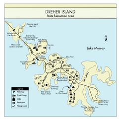
Dreher Island State Park Map
Clearly labeled state park map.
69 miles away
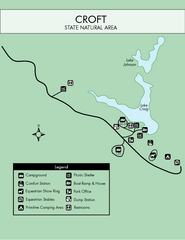
Croft State Park Map
Simple state park map.
70 miles away

