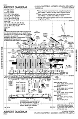
Atlanta Airport Map
224 miles away
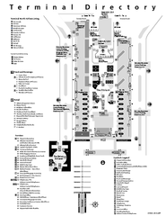
Atlanta Airport Map
224 miles away
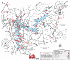
Allatoona Lake Map
224 miles away
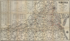
1940 Virginia Map
Guide to roads and highways of Virginia
224 miles away
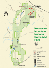
Kennesaw Moutain National Battlefield Park Map
225 miles away
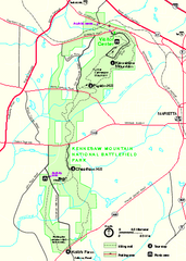
Kennesaw Mountain National Battlefield Park...
Official NPS map of Kennesaw Mountain National Battlefield Park in Georgia. We are a day use only...
225 miles away
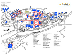
Kennesaw State University Map
Kennesaw State University Campus Map. All buildings shown.
225 miles away
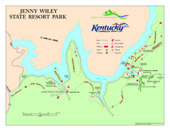
Jenny Wiley State Resort Park Map
Map of trails and facilities of Jenny Wiley State Resort Park.
225 miles away
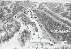
The Homestead Ski Area Ski Trail Map
Trail map from The Homestead Ski Area.
225 miles away
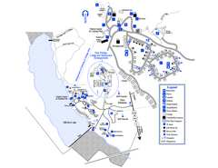
Little Ocmulgee State Park Map
Map of park with detail of trails and recreation zones
225 miles away

Six Flags Over Georgia Theme Park Map
Official Park map of Six Flags Over Georgia in Atlanta.
226 miles away
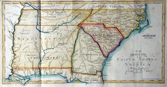
Southern Parts of the US Map
"This map was initially published in Morse's American Gazetteer in 1797 with Georgia...
227 miles away
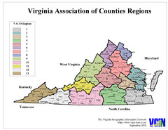
Virginia Counties Map
227 miles away
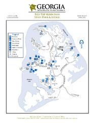
Red Top Mountain State Park Map
Map of park with detail of trails and recreation zones
227 miles away
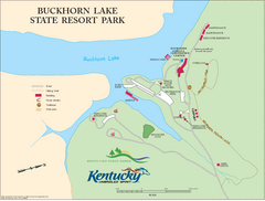
Buckhorn Lake State Resort Park Map
Map of Trails and Facilities of Buckhorn Lake State Resort Park.
228 miles away
Bear Creek Lake State Park Map
Come visit this beautiful state park and see the amazing wild life.
233 miles away
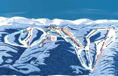
Wintergreen Ski Trail Map
Official ski trail map of Wintergreen ski area from the 2007-2008 season.
237 miles away
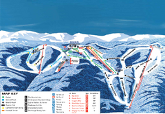
Wintergreen Ski Resort Ski Trail Map
Trail map from Wintergreen Ski Resort.
237 miles away
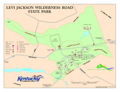
Levi Jackson Wilderness Road State Park Map
Map of trails and facilities of Levi Jackson Wilderness Road State Park.
238 miles away
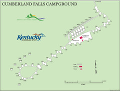
Cumberland Falls Map
241 miles away
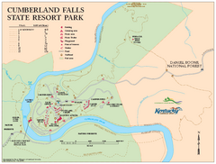
Cumberland Falls State Resort Park map
Detailed recreation map for Cumberland Falls State Resort Park in Kentucky
242 miles away
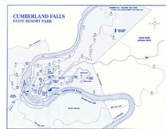
Cumberland Falls State Resort Park Map
Cumberland Falls Park Area Map
242 miles away
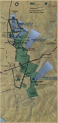
Antietam National Battelfield Map
243 miles away
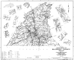
Mccreary County General Highway Map
Map of McCreary County with road, waterways and towns identified.
243 miles away
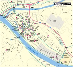
Charleston WV City Map
City map of downtown Charleston, West Virginia. Shows points of interest.
247 miles away
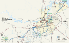
Petersburg National Battlefield Official Map
Official NPS map of Petersburg National Battlefield in Virginia. Petersburg National Battlefield is...
251 miles away
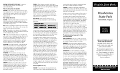
Pocahontas State Park Map
Clearly marked state park map and legend.
251 miles away
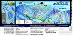
Snowshoe Mountain Ski Trail Map
Trail map from Snowshoe Mountain.
251 miles away
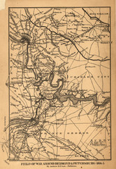
Petersburg, Virginia 1864 Map
252 miles away
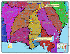
Drainage Basins of the Southeast United States Map
Lakes, rivers and dams in the Apalachicola, Chattahoochee and Flint River System.
252 miles away
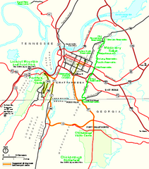
Chickamauga & Chattanooga National Military...
Official NPS map of Chickamauga & Chattanooga National Military Park in Georgia. All units of...
252 miles away
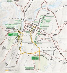
Chattanooga Guide Map
253 miles away

University of Tennessee Map
Campus map
255 miles away
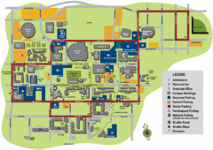
University of Tennessee Chattanooga Campus Map
Official campus map of University of Tennessee Chattanooga.
255 miles away
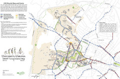
University of Virginia SMART Transportation Map
UVA Bicycle Map and Guide, including transit
255 miles away
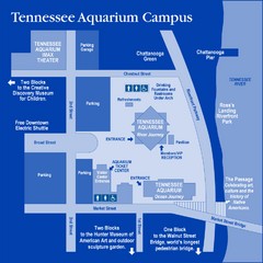
Tennessee Aquarium Campus Map
Map of Tennessee Aquarium Campus includes location of all buildings, bathrooms, parking, and...
256 miles away
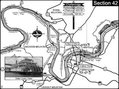
Chattanooga, TN Tennessee River Map
For boating navigational information and river road travel along the Tennessee River.
256 miles away
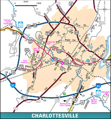
Charlottesville, Virginia City Map
256 miles away
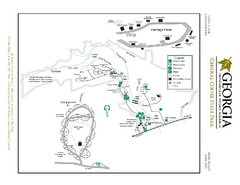
General Coffee State Park Map
Map of park with detail of trails and recreation zones
256 miles away
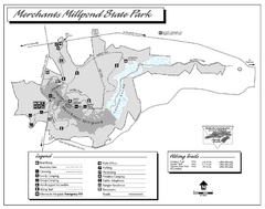
Merchants Millpond State Park map
Detailed recreation map for Merchants Millpond State Park in North Carolina
257 miles away

