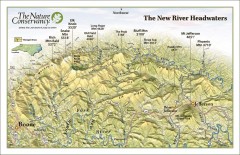
New River Headwaters Panorama Map
This panoramic map of the New River Headwaters area in North Carolina highlights TNC conservation...
110 miles away
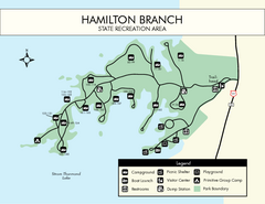
Hamilton Branch State Park Map
Simple state park map.
110 miles away

Map of Southern Blue Ridge Escarpment
Map of the Nature Conservancy's Southern Blue Ridge Escarpment project area showing protected...
111 miles away
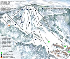
Beech Mountain Ski Resort Ski Trail Map
Trail map from Beech Mountain Ski Resort.
111 miles away
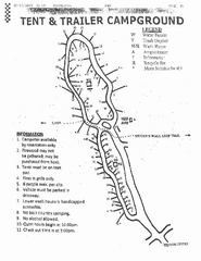
Hanging Rock, campground site map
Hanging Rock State park, map of family campground sites
111 miles away
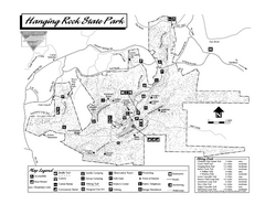
Hanging Rock State Park map
Detailed recreation map for Hanging Rock State Park in North Carolina
111 miles away
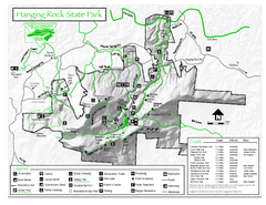
Hanging Rock state park Map
Interior color map of Hanging Rock State Park.
111 miles away
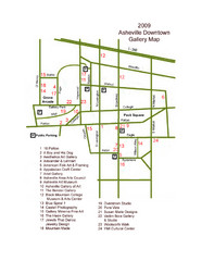
Downtown Asheville Galleria Map
Numbered shopping map of Downtown Asheville.
112 miles away
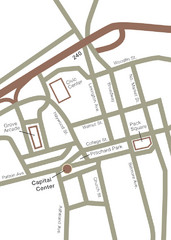
Downtown Asheville Map
Located in the heart of Asheville’s professional, municipal and cultural activity, Capital...
112 miles away
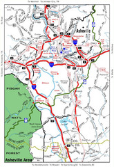
Asheville, NC Tourist Map
112 miles away
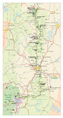
Asheville, North Carolina Parkway Map
112 miles away
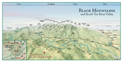
Black Mountains Panorama Map
This map portrays a sweeping vista of the Black Mountains and South Toe River Valley - extending...
112 miles away

Panoramic View of the Reserve Map
Panoramic map of the view northeast from 'Gladiola Ridge' in Brevard, North Carolina.
112 miles away
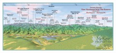
Northwest Reserve Panorama Map
Panoramic Map of the view Northwest from the Reserve in Brevard, North Carolina.
112 miles away
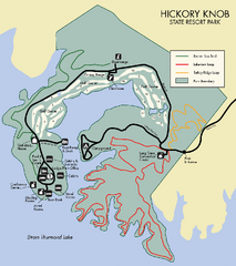
Hickory Knob State Park Map
Detailed map of this beautiful state park.
113 miles away
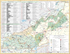
Pisgah National Forest and Nantahala National...
Pisgah National Forest and Nantahala National Forest recreation map. Contains list of all...
114 miles away

Asheville School Campus map
Map of the 300-acre campus of Asheville School, a private boarding school for grades 9-12 with...
114 miles away
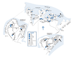
Elijah Clark State Park Map
Map of park with detail of trails and recreation zones
114 miles away
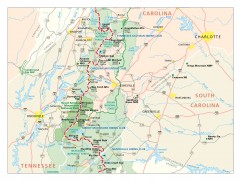
Appalachian Trail in North Carolina Map
Appalachian Trail in North Carolina. Shows major summits, National Forests, and hiking clubs.
114 miles away
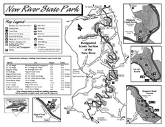
New River State Park map
Detailed recreation map for the New River State Park in North Carolina
115 miles away
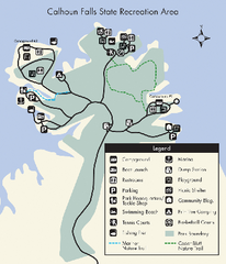
Calhoun Falls State Park Map
Clear map and detailed legend help make this map easy to read and follow.
115 miles away
Blue Ridge Parkway Official Map
Official NPS map of the Blue Ridge Parkway. The Parkway meanders 469 miles through Virginia and...
116 miles away
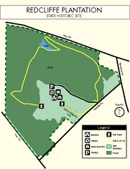
Redcliffe Plantation State Park Map
Clear map of this wonderful state park with a beautiful natural setting.
116 miles away
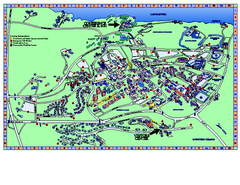
Clemson University Map
Clemson University Campus Map. All buildings shown.
116 miles away
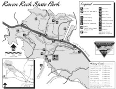
Raven Rock State Park Map
116 miles away
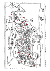
Clemson University Map
116 miles away
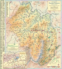
Yancey County Chamber of Commerce Map
Map of Yancey County, North Carolina. Shows all public roads, communities, hiking trails and picnic...
116 miles away
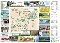
Ashe County Attractions Map
Ashe County Attractions
116 miles away

Ashe County Restaurant Map
Ashe County Restaurant Map
116 miles away
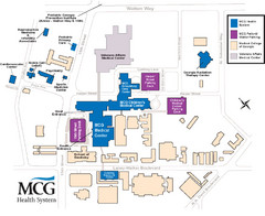
MCG Health System--Medical College of Georgia...
Color-coded map of all buildings on the Medical College of Georgia associated with the MCG Health...
117 miles away
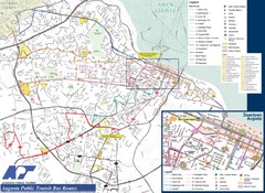
Augusta Public Transit Routes Map
Transit Route Map of the town of Augusta. Includes all streets, some important buildings, and a...
117 miles away
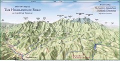
Panoramic Map of the Highlands of Roan (from TN)
Panoramic map of the Highlands of Roan as seen from Tennessee.
117 miles away

Roan Mountain Panorama Map
Panoramic Map of the View from the Baud Family Cabin of Roan Mountain, TN. The view overlooks...
117 miles away
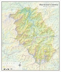
Haywood County Topographical Map
This topographic wall map of Haywood County emphasizes the rugged mountain terrain and natural...
117 miles away
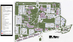
Augusta State University Map
Campus map
117 miles away
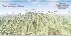
Panoramic Map of the Highlands of Roan (from NC)
Panoramic Map of the Roan Mountain Highlands as seen from North Carolina.
118 miles away
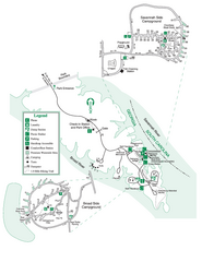
Bobby Brown State Park Map
Map of park with detail of trails and recreation zones
118 miles away
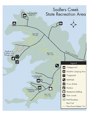
Sadlers Creek State Park Map
This simple map gives you an easy to follow layout of this amazing state park.
118 miles away
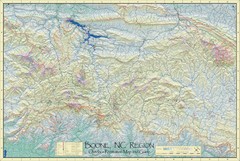
Boone, NC Outdoor Recreation Map
Guide to Boone, NC region
118 miles away
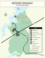
Keowee Toxaway State Park Map
Clear and detailed map of this wonderful state park.
118 miles away

