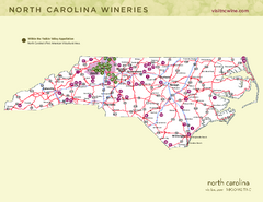
North Carolina Wine Map
Map of North Carolina wineries. 2nd page of PDF has winery listings
79 miles away
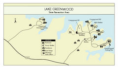
Lake Greenwood State Park Map
Clearly marked state park map on a beautiful waterfront.
79 miles away
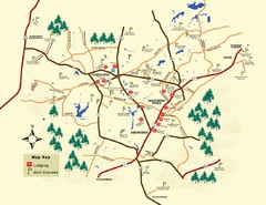
Pinehurst Golf Map
80 miles away
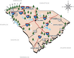
South Carolina State Park Map
Shows state parks in South Carolina
84 miles away
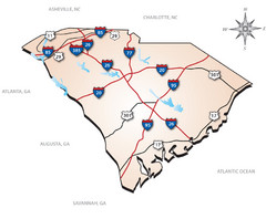
South Carolina Interstate Map
Shows Interstate highways in South Carolina
84 miles away
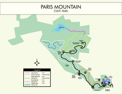
Paris Mountain State Park Map
Clearly labeled map of this beautiful state park.
89 miles away
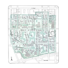
Downtown Wiston-Salem Map
The Holly Avenue neighborhood located on the southwestern edge of downtown Winston-Salem has...
92 miles away
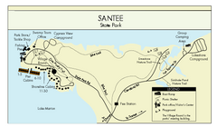
Santee State Park Map
Clear state park map.
93 miles away
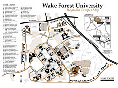
Wake Forest University Map
Campus map of Reynolda Campus
94 miles away
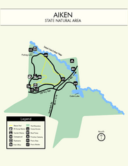
Aiken State Park Map
Small and simple state park map.
97 miles away
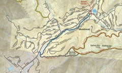
Montreat trail map
Detailed guide to the trail system surrounding the village of Montreat, NC.
101 miles away
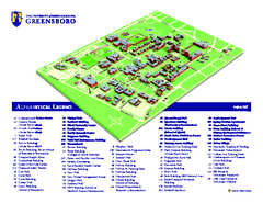
The University of North Carolina - Greensboro Map
The University of North Carolina - Greensboro Campus Map. All buildings shown.
102 miles away
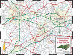
Greensboro, North Carolina City Map
103 miles away
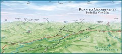
Panoramic View of Roan to Grandfather Map
This panorama takes in the vista from Roan to Grandfather mountain - overlooking the upper Linville...
103 miles away
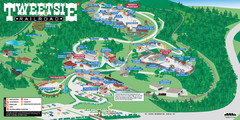
Tweetsie Railroad Park Map
Tweetsie Railroad is a unique attraction that allows children and families to explore their...
103 miles away
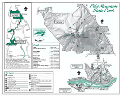
Pilot Mountain State Park map
Detailed recreation map for Pilot Mountain State Park in North Carolina
104 miles away
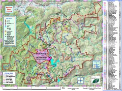
DuPont State Forest Trail map
Trail map of DuPont State Forest. Shows all trails with mileages. From dupontforest.com: "...
104 miles away
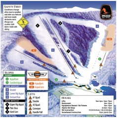
Appalachian Ski Trail Map
Official ski trail map of Appalachian ski area
104 miles away
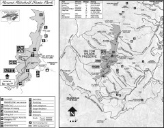
Mount Mitchell State Park map
Official map of Mt. Mitchell State Park in North Carolina. Park contains the 6,684 ft summit of...
104 miles away
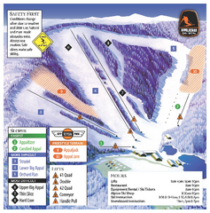
Appalachian Ski Mtn. Ski Trail Map
Trail map from Appalachian Ski Mtn..
104 miles away
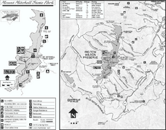
Mount Mitchell State Park map
Detailed recreational map for Mt. Mitchell State Park in North Carolina
104 miles away
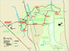
Guilford Courthouse National Military Park...
Official NPS map of Guilford Courthouse National Military Park in North Carolina. Open All Year 8...
105 miles away
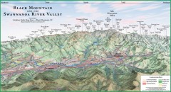
Black Mountain Panorama map
Panoramic map of the Black Mountain, NC and Swannanoa River Valley. Shows all mountains with...
105 miles away
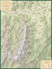
Black Mountains and South Toe and Cane River...
Guide to recreation around Mt. Mitchell State Park and Black Mountains
106 miles away
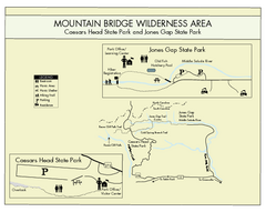
Mountain Bridge Wilderness Area Map
Map and legend marking bathrooms, picnic sites, trails and more.
106 miles away

Watauga County Attractions Map
Watauga County Tourist Attractions
106 miles away

Watauga County Restaurants Map
Watuaga County Restaurant Guide
106 miles away
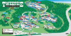
Tweetsie Tourist Map
106 miles away
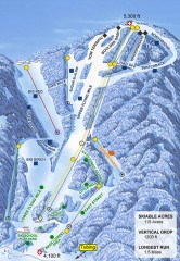
Sugar Mountain Ski Trail Map
Official ski trail map of Sugar Mountain ski area
107 miles away
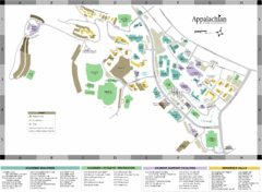
Appalachian State University Campus Map
Campus map of Appalachian State University in Boone, NC
107 miles away
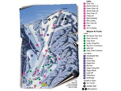
Sugar Mountain Resort Ski Trail Map
Trail map from Sugar Mountain Resort.
107 miles away
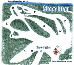
Hawksnest Golf & Ski Resort Ski Trail Map
Trail map from Hawksnest Golf & Ski Resort.
107 miles away
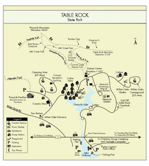
Table Rock State Park MAP
Clear and simple state park map and legend.
108 miles away
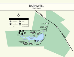
Barnwell State Park Map
Simple map of this state park.
108 miles away

The Reserve Shaded Relief Map
This map is a shaded relief property map of The Reserve in North Carolina with survey boundaries...
108 miles away
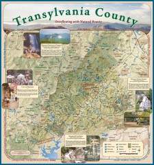
Transylvania County Tourism Development Map
Transylvania County tourist map, showing all points of interest including hiking and picnic areas.
109 miles away
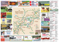
Avery County Attractions Map
Avery County Attractions Map
109 miles away
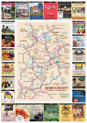
Avery County Restaurants Map
Avery County Tourist Map
109 miles away
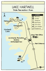
Lake Hartwell State Park Map
Clear state park map.
110 miles away
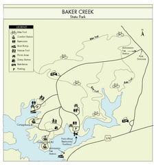
Baker Creek State Park Map
Beautiful park with wonderful views and plenty of wild life.
110 miles away

