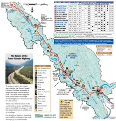
Mile Lacs Kathio State Park Winter Map
Winter seasonal map of park with detail of trails and recreation zones
1359 miles away
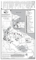
Mile Lacs Kathio State Park Summer Map
Summer seasonal map of park with detail of trails and recreation zones
1359 miles away
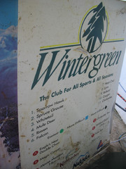
2001 Wintergreen Downhill Map Part 2
Trail map from Wintergreen.
1359 miles away
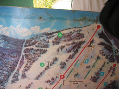
2001 Wintergreen Downhill Map Part 1
Trail map from Wintergreen.
1359 miles away
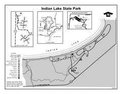
Indian Lake State Park, Michigan Site Map
1360 miles away
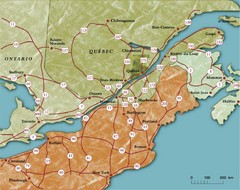
Southern Quebec Tourist Map
1360 miles away
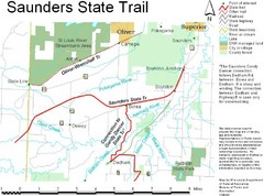
Saunders State Trail Map
Points of interest, lakes, roads, forests and more are marked on this map's key.
1361 miles away
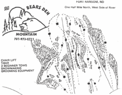
Bears Den Mountain Ski Trail Map
Trail map from Bears Den Mountain.
1362 miles away
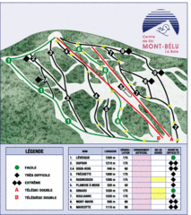
Mont-Bélu Ski Trail Map
Trail map from Mont-Bélu.
1362 miles away
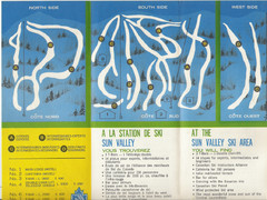
Sun Valley Credit to chris lundquist Ski Trail Map
Trail map from Sun Valley, which provides downhill skiing.
1364 miles away
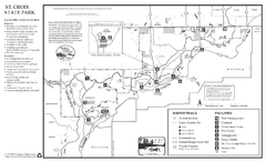
St. Croixs State Park Winter Map
Winter seasonal map of park with detail of trails and recreation zones
1366 miles away
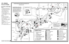
St. Croixs State Park Summer Map
Summer seasonal map of park with detail of trails and recreation zones
1366 miles away
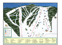
Pine Mountain Resort Ski Trail Map
Trail map from Pine Mountain Resort.
1367 miles away
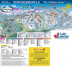
Lake Louise Ski Trail map - Ptarmigan/Paradise...
Official ski trail map of the Ptarmigan/Paradise/Back Bowls of Lake Louise ski area from the 2005...
1368 miles away
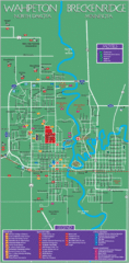
Wahpeton and Breckenridge City Map
City map of Wahpeton, North Dakota and Breckenridge, Minnesota. Shows motels, education...
1368 miles away
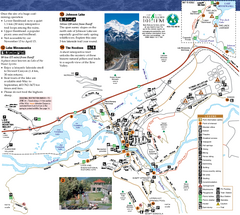
Banff National Park Map
Map of park with detail of trails and recreation zones
1369 miles away
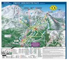
Lake Louise Ski Trail map - Front side/south face...
Official ski trail map of the front side/south face of Lake Louise ski area from the 2005-2006...
1369 miles away
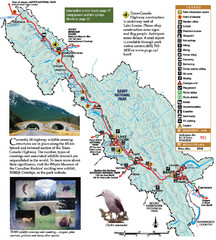
Banff National Park Map
1369 miles away
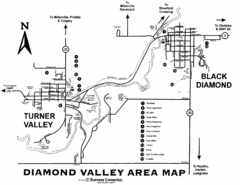
Diamond Valley Area Map
Map of Diamond Valley are, with Turner Valley & Black Diamond oil towns
1370 miles away
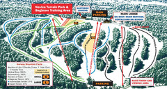
Norway Mountain Ski Trail Map
Trail map from Norway Mountain.
1370 miles away
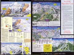
2007–08 2007–08 Ski Big 3 Side 2 (Lake Louise...
Trail map from Lake Louise, which provides downhill skiing. This ski area has its own website.
1370 miles away
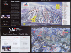
Lake Louise 2007–08 Ski Big 3 Side 1 (3...
Trail map from Lake Louise, which provides downhill skiing. This ski area has its own website.
1370 miles away
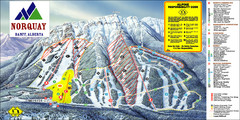
Banff Mount Norquay Ski Trail Map
Trail map from Banff Mount Norquay, which provides downhill skiing. This ski area has its own...
1370 miles away
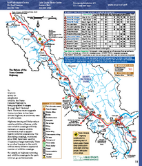
Banff National Park map
Official Parks Canada map of Banff National Park. Birthplace of Canada's national park system...
1371 miles away
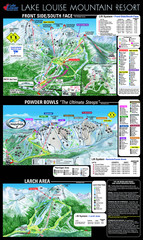
Lake Louise Trail Map
Ski area trail map for Lake Louise Mountain
1371 miles away
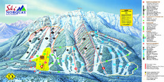
Norquay Map
Ski trail map
1371 miles away
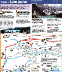
Lake Louise Area Map
Map of Lake Louise with detail of trails and recreation zones
1372 miles away

Mackinak Island topography Map
1373 miles away
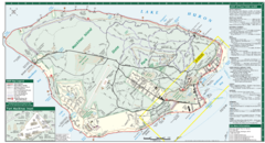
Mackinac Island Map
Tourist map of Mackinac Island, Michigan. Shows attractions.
1373 miles away

Mackinak Island Road and Trail Map
1374 miles away
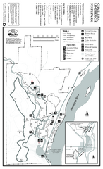
Charles A. Lindbergh State Park Map
Map of park with detail of trails and recreation zones
1374 miles away
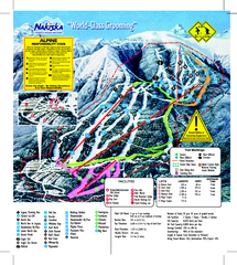
Nakiska Ski Resort Ski Trail Map
Trail map from Nakiska Ski Resort, which provides downhill skiing. This ski area has its own...
1375 miles away
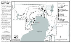
Lake Carlos State Park Winter Map
Winter seasonal map of park with detail of trails and recreation zones
1377 miles away
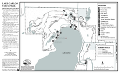
Lake Carlos State Park Summer Map
Summer seasonal map of park with detail of trails and recreation zones
1378 miles away
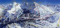
Sunshine Village Ski Trail Map
Official ski trail map of Sunshine Village ski area.
1381 miles away
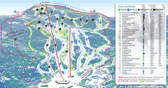
Mont Edouard Ski Trail Map
Trail map from Mont Edouard, which provides downhill skiing. This ski area has its own website.
1381 miles away
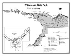
Wilderness State Park, Michigan Site Map
1382 miles away
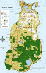
Beaver Island Michigan Map
Map of Beaver Island, Michigan. Created in 1977 by William Cashman and Edward Wojan. From...
1382 miles away
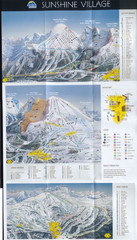
Banff’s Sunshine Village Ski Trail Map
Trail map from Banff’s Sunshine Village.
1382 miles away

