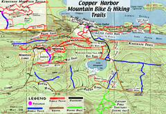
Copper Harbor Trail Map
Guide to mountain bike and hiking trails of Copper Harbor
1255 miles away
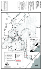
George Crosby Manitou State Park Map
Map of park with detail of trails and recreation zones
1256 miles away
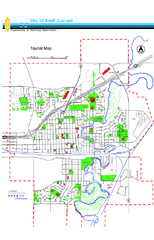
Swift Current Tourist Map
Tourist map of Swift Current, Saskatchewan. Shows all parks and walking paths.
1257 miles away
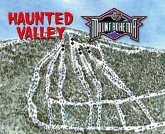
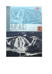
Mount Bohemia Haunted Valley Ski Trail Map
Trail map from Mount Bohemia.
1259 miles away
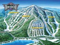
Mount Bohemia Frontside Ski Trail Map
Trail map from Mount Bohemia.
1259 miles away

Red River State Recreation Area Map
map of recreation area with detail of trails and recreation zones
1259 miles away

Buena Vista Ski Area Frontside Ski Trail Map
Trail map from Buena Vista Ski Area.
1261 miles away

Buena Vista Ski Area Backside Ski Trail Map
Trail map from Buena Vista Ski Area.
1261 miles away

Canyon Ski Area Ski Trail Map
Trail map from Canyon Ski Area, which provides downhill skiing. This ski area has its own website.
1262 miles away
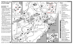
Tettegouche State Park Map
map of park with detail of trails and recreation zones
1265 miles away
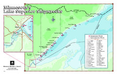
Minnesota's Lake Superior Shipwrecks Map
Guide to Lake Superior shipwrecks in Minnesota
1267 miles away

Lake Bemidji State Park Winter Map
Winter seasonal map of park with detail of trails and recreation zones
1268 miles away
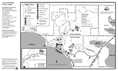
Lake Bemidji State Park Summer Map
Summer seasonal map of park with detail of trails and recreation zones
1268 miles away
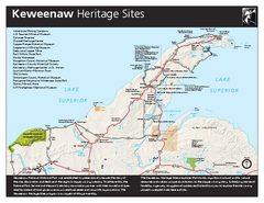
Keweenaw National Historical Park Official Map
Official NPS map of Keweenaw National Historical Park in Michigan. Map shows all areas. Park...
1269 miles away
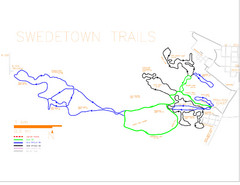
Swedetown Nordic Trail Map
Trail map of nordic ski trails in Swedetown, Michigan
1270 miles away
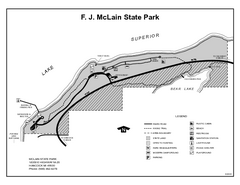
McLain State Park, Michigan Site Map
1270 miles away
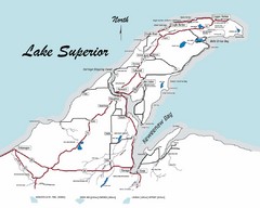
Keweenaw Peninsula Map
Map of the Keweenaw Peninsula, Michigan
1271 miles away
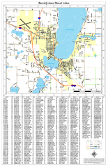
Bemidji Street Map
Street map of the Bemidji, Minnesota area
1272 miles away
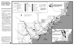
Split Rock Lighthouse State Park Winter Map
Winter seasonal map of park with detail of trails and recreation zones
1277 miles away
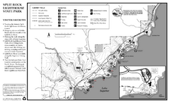
Split Rock Lighthouse State Park Summer Map
Summer seasonal map of park with detail of trails and recreation zones
1277 miles away
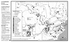
Gooseberry Falls State Park Winter Map
Winter season map of park with detail of trails and recreation zones
1280 miles away
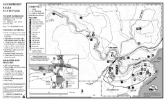
Gooseberry Falls State Park Map
Map of park with detail of trails and recreation zones
1280 miles away
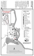
Schoolcraft State Park Map
map of park with detail of trails and recreation zones
1284 miles away
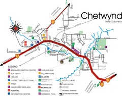
Chetwynd Town Map
1285 miles away
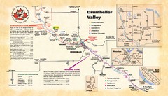
Drumheller Valley Tourist Map
Tourist map shows trails and points of interest of area around Drumheller, Alberta.
1288 miles away
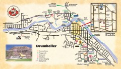
Drumheller Tourist Map
Tourist map of Drumheller, Alberta. Shows accommodations, campgrounds, restaurants, attractions...
1288 miles away
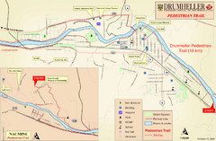
Drumheller Pedestrian Trail Map
1288 miles away

Lookout Mountain Lookout Mt Ski Trail Map
Trail map from Lookout Mountain. This ski area opened in 1958.
1289 miles away
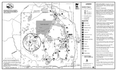
Itasca State Park Winter Map
Winter seasonal map of park with detail of trails and recreation zones
1295 miles away
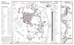
Itasca State Park Summer Map
Map of park with detail of trails and recreation zones
1295 miles away
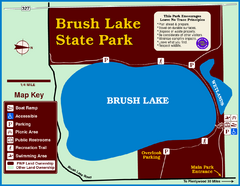
Brush Lake State Park Map
Simple and easily read map.
1301 miles away
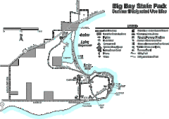
Big Bay State Park Map
Detailed map of nice hikes and stops around Big Bay State Park near Lake Superior.
1302 miles away
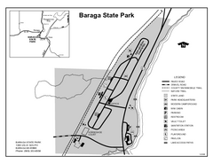
Baraga State Park, Michigan Site Map
1303 miles away
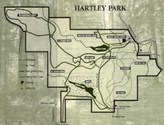
Hartley Park Map
Trail map
1303 miles away

Porcupine Mountain Ski Trail Map
Trail map from Porcupine Mountain.
1303 miles away
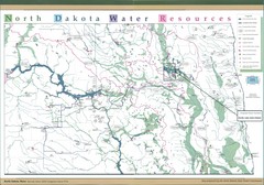
North Dakota Water Resources Map
North Dakota Counties, Rivers and Lakes Map
1305 miles away
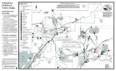
Savanna Portage State Park Summer Map
Summer seasonal map of park with detail of trails and recreation zones
1307 miles away

