Quetico Provincial Park Map
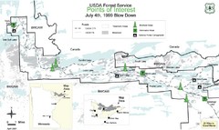
BWCAW Visitors Map. Shows parameters of BWCAW areas, camp grounds, roads and information kiosks.
1204 miles away
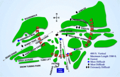
Kamiskotia Ski Resort Ski Trail Map
Trail map from Kamiskotia Ski Resort, which provides downhill skiing. This ski area has its own...
1209 miles away
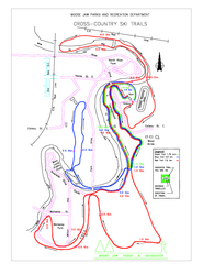
Moose Jaw Cross Country Ski Trail Map
Cross country ski trails around city of Moose Jaw, Saskatchewan, Canada. Shows green, red, and...
1209 miles away
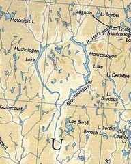
rené-levasseur island Manicouagan Reservoi...
Manicouagan Reservoir (also Lake Manicouagan) is a lake in central Quebec, Canada. Due to its...
1210 miles away
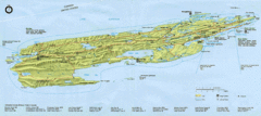
Isle Royale National Park Map
Park map of Isle Royal National Park. Scanned.
1216 miles away
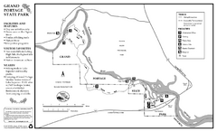
Grand Portage State Park Map
Map of park with detail of trails and recreation zones
1217 miles away
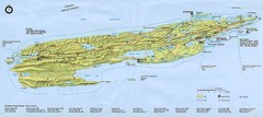
Isle Royale National Park Map
1219 miles away
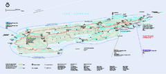
Isle Royale National Park Official Park Map
Official NPS map of Isle Royale National Park in Michigan. Isle Royale National Park is one of...
1222 miles away
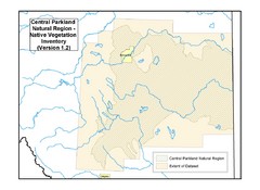
Aspen Parkland Natural Region Map
Map of area defined in the current vegetation / land use database for the Aspen Parkland Natural...
1223 miles away
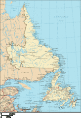
Newfoundland and Labrador Map
Detailed Newfoundland map
1223 miles away

Big Bog State Park Map
Map of park with detail of trails and recreation zones
1224 miles away
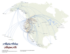
Alaska Airlines Route Map
1225 miles away

Old Mill State Park Summer Map
Summer seasonal map of park with detail of trails and recreation zones
1225 miles away
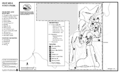
Old Mill State Park Winter Map
Winter seasonal map of park with detail of trails and recreation zones
1225 miles away
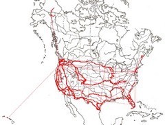
North America Layout Map
Countries, states and provinces in North America
1226 miles away
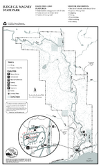
Judge C.R. Magney State Park Map
Map of park with detail of trails and recreation zones
1228 miles away
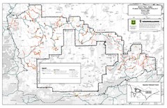
Superior National Forest Map
Echo Trail in Superior National Forest
1235 miles away
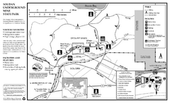
Soudan Underground Mine State Park Map
map of park with detail of trails and recreation zones
1235 miles away
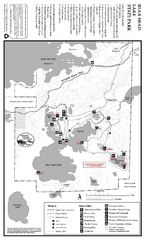
Bear Head Lake State Park Map
Map of park with detail of trails and recreation zones
1237 miles away
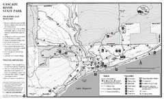
Cascade River State Park Map
Map of park with detail of trails and recreation zones
1239 miles away
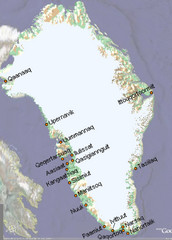
Greenland City Names Map
Map of Greenland shows city names.
1241 miles away
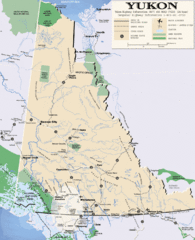
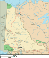
Yukon Map
Overview map of the Yukon Territory, Canada. Shows roads, airports, glaciers, game reserves, and...
1241 miles away
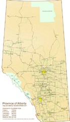
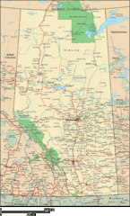
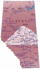
Alberta Tourist Map
Cities and areas in Alberta, Canada
1242 miles away
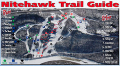
Nitehawk Ski Hill Ski Trail Map
Trail map from Nitehawk Ski Hill, which provides downhill skiing. This ski area has its own website.
1242 miles away
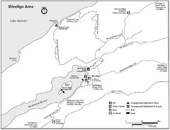
Windigo Area Guide Map
1242 miles away

Edmonton, Alberta Tourist Map
Edmonton, Alberta and the area west of it
1243 miles away

Lutsen Mountains Ski Trail Map
Trail map from Lutsen Mountains, which provides downhill and terrain park skiing. It has 10 lifts...
1243 miles away
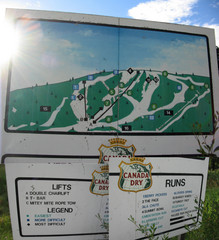
Silver Summit Ski Trail Map
Trail map from Silver Summit, which provides downhill and nordic skiing. This ski area has its own...
1244 miles away
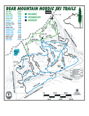
Bear Mountain Nordic Ski Trail Map
Trail map from Bear Mountain.
1247 miles away
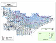
Superior National Park Map
Park Map in Minnesota. Does not include road or highway names
1247 miles away
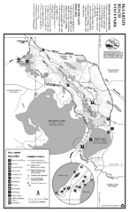
McCarthy Beach State Park Summer Map
Summer seasonal map of park with detail of trails and recreation zones
1248 miles away
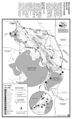
McCarthy Beach State Park Winter Map
Winter seasonal map of park with detail of trails and recreation zones
1248 miles away
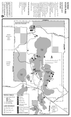
Scenic State Park Winter Map
Winter seasonal map of park with detail of trails and recreation zones
1249 miles away
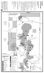
Scenic State Park Summer Map
Summer seasonal map of park with detail of trails and recreation zones
1249 miles away
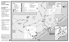
Temperance River State Park Map
map of park with detail of trails and recreation zones
1250 miles away
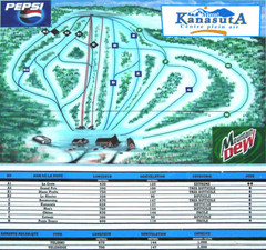
Mont Kanasuta Ski Trail Map
Trail map from Mont Kanasuta, which provides downhill skiing. This ski area has its own website.
1253 miles away
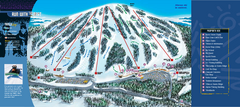
Giants Ridge Resort Ski Trail Map
Trail map from Giants Ridge Resort, which provides downhill, night, nordic, and terrain park skiing...
1253 miles away

