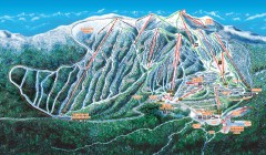
Big White Ski Trail Map
Official ski trail map of Big White ski area from the 2007-2008 season.
1537 miles away

Ski Lakeridge Ski Trail Map
Trail map from Ski Lakeridge, which provides downhill skiing. This ski area has its own website.
1537 miles away
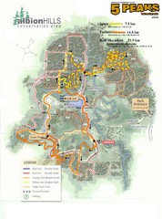
Albion Hills Running Course Map
Map shows the Enduro Course, Sport Course and Half Marathon Course for the 5 Peaks trail running...
1538 miles away
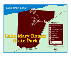
Lake Mary Ronan State Park Map
Off the beaten path just seven miles west of Flathead Lake, this park is shaded by Douglas fir and...
1538 miles away
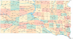
South Dakota Road Map
1538 miles away

Ski Dagmar Ski Trail Map
Trail map from Ski Dagmar, which provides downhill and nordic skiing. This ski area has its own...
1538 miles away
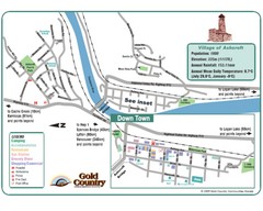
Ashcroft Map
Map of Ashcroft, includes all streets, highways, accommodations and attractions.
1538 miles away
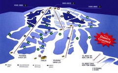
Mont Glen Ski Trail Map
Trail map from Mont Glen, which provides downhill skiing. This ski area has its own website.
1539 miles away
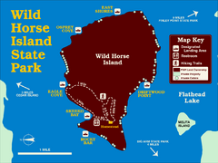
Wild Horse Island State Park Map
Boat access to this day-use-only, primitive park is regulated to protect the 2,000-acre island. The...
1539 miles away

Little Switzerland Back Ski Trail Map
Trail map from Little Switzerland.
1539 miles away
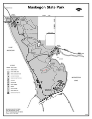
Muskegon State Park, Michigan Site Map
1540 miles away
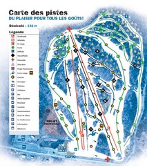
Montjoye Ski Trail Map
Trail map from Montjoye, which provides downhill skiing. This ski area has its own website.
1540 miles away
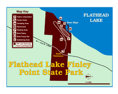
Finley Point State Park Map
This park is located in a secluded, mature pine forest near the south end of Flathead Lake. Enjoy...
1540 miles away
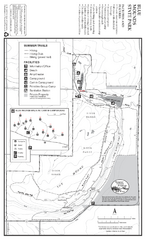
Blue Mounds State Park Map
Map of park with detail of trails and recreation zones
1540 miles away
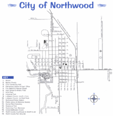
Northwood City Map
City map of Northwood, Iowa with key of churches, parks, and other points of interest.
1541 miles away

Batawa Ski Trail Map
Trail map from Batawa, which provides downhill skiing. This ski area has its own website.
1541 miles away
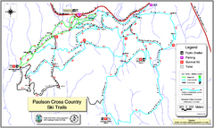
Paulson X-C (Castlegar Nordic) Ski Trail Map
Trail map from Paulson X-C (Castlegar Nordic), which provides nordic skiing. This ski area has its...
1542 miles away

Oshawa Ski Club Ski Trail Map
Trail map from Oshawa Ski Club, which provides downhill skiing. This ski area has its own website.
1542 miles away
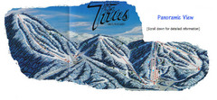
Titus Mountain Ski Trail Map
Trail map from Titus Mountain.
1542 miles away
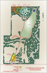
Pleasant Valley Nature Park Map
1542 miles away
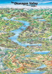
Pictorial map of the Okanagan Valley
1543 miles away
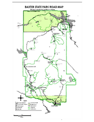
Baxter State Park overview map
Overview map of Baxter State Park. There are 46 mountain peaks and ridges, 18 of which exceed an...
1543 miles away

City of Trail BC Map
Map of city of Trail, BC on the Columbia River
1543 miles away
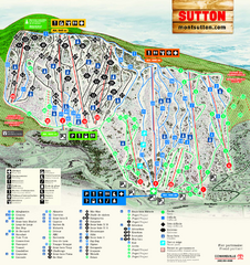
Mont Sutton Ski Trail Map
Trail map from Mont Sutton, which provides downhill skiing. This ski area has its own website.
1543 miles away
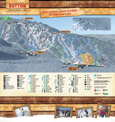
Mont Sutton Trail map
1543 miles away
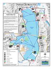
West Shore State Park Map
Glacially carved rock outcrops rise from Flathead Lake to overlooks with spectacular views of the...
1544 miles away
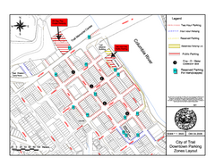
City of Trail Downtown Parking Map
Parking map of downtown Trail, British Columbia
1544 miles away
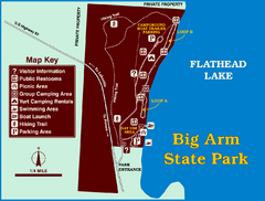
Big Arm State Park Map
Clear map and map key of Park camping grounds.
1544 miles away

Alma City Map
City map of Alma, Michigan with Alma College highlighted
1544 miles away
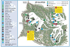
Caledon Ski Club Ski Trail Map
Trail map from Caledon Ski Club, which provides downhill skiing. This ski area has its own website.
1544 miles away
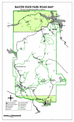
Baxter State Park Road Map
1545 miles away

2006–08 Black Jack Nordic Map
Trail map from Black Jack.
1545 miles away
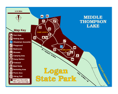
Logan State Park Map
With frontage on the north shore of Middle Thompson Lake, Logan is heavily forested with western...
1545 miles away

South Dakota Map
1546 miles away
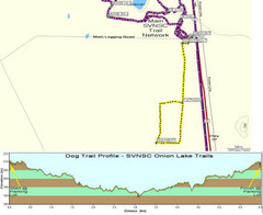
Onion Lake Dog Ski Trail Map
Trail map from Onion Lake, which provides nordic skiing. This ski area has its own website.
1546 miles away
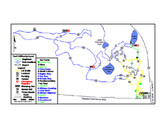
Onion Lake Ski Trail Map
Trail map from Onion Lake, which provides nordic skiing. This ski area has its own website.
1546 miles away

Red Mountain Ski Trail Map
Trail map from Red Mountain.
1546 miles away
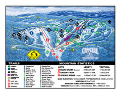
Crystal Mountain Resort Ski Trail Map
Trail map from Crystal Mountain Resort, which provides downhill skiing. This ski area has its own...
1547 miles away
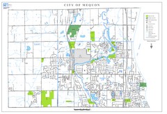
Mequon City Map
City map of Mequon, Wisconsin
1547 miles away

Red Mountain Trail Map
Ski trail map
1547 miles away

