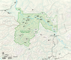
Yukon-Charley Rivers National Preserve Map
Detailed map of Yukon-Charley Rivers National Preserve in Alaska
1511 miles away
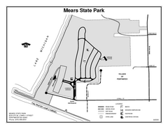
Mears State Park, Michigan Site Map
1511 miles away
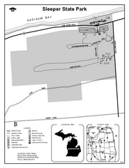
Sleeper State Park, Michigan Site Map
1512 miles away
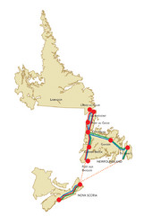
Newfoundland Map
1512 miles away
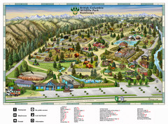
British Columbia Wildlife Park Visitor Map
Wildlife Visitor Park Map. Full color with illustrations.
1512 miles away
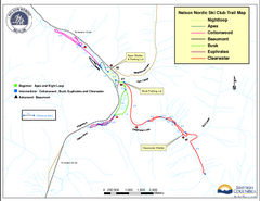
Nelson Nordic Ski Trail Map
Trail map from Nelson Nordic, which provides night and nordic skiing. This ski area has its own...
1513 miles away
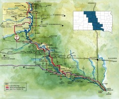
Great Lakes of South Dakota Map
Shows "the other Great Lakes" stretching along the Missouri River in South Dakota. Shows...
1514 miles away

Mt. La Crosse Ski Trail Map
Trail map from Mt. La Crosse.
1514 miles away

Georgina Historic Lakeshore Communities Map
1516 miles away
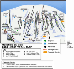
Ski Mansfield Ski Trail Map
Trail map from Ski Mansfield, which provides downhill skiing. This ski area has its own website.
1517 miles away
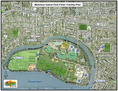
MacArthur Island Park Map
Park map of MacArthur Island Park in the Thompson River in Kamloops, BC. Shows Rivers Trail...
1517 miles away
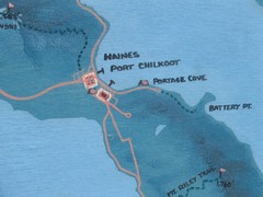
Map of Haines, Alaska
A map of Haines and the surrounding areas.
1517 miles away
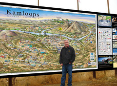
Kamloops tourist info map by Jean-Louis Rheault
Tourist map of Kamloops, British Columbia. Photo of 20 foot sign with the cartographer, Jean-Louis...
1517 miles away
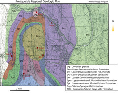
Presque Isle Geologic Map
Presque Isle Geology Field Trip Guide
1517 miles away
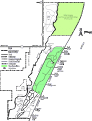
Kohler-Andrae State Park Map
trail, walk, water, nature, tourism, vacation, fun, adventure, journey,
1518 miles away
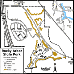
Rocky Arbor State Park Map
Detailed map of parking, water, ledges and boundaries for Rocky Arbor.
1519 miles away
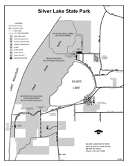
Silver Lake State Park, Michigan Site Map
1520 miles away
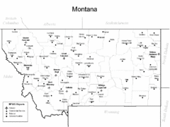
Montana Airports Map
1520 miles away
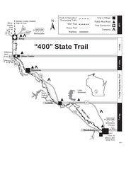
400 State Trail Map
Long and beautiful trail through Wisconsin's finest.
1521 miles away
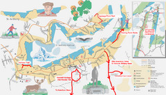
St. Anthony Canada City Map
Hiking trails drawn on the city map of St. Anthony. Map also shows motels, parks, shopping and...
1521 miles away

Christmas Mountain Village Ski Trail Map
Trail map from Christmas Mountain Village.
1521 miles away
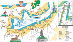
St. Anthony Tourist Map
Tourist map of town of St. Anthony, Newfoundland, Canada. Shows points of interest.
1522 miles away
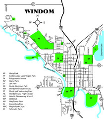
Windom City Parks Map
1522 miles away
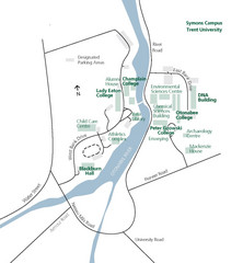
Trent University Campus Map
Campus map of the Symons Campus at Trent University in
1522 miles away
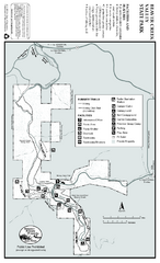
Beaver Creek Valley State Park Map
Map of park with detail of trails and recreation zones
1522 miles away
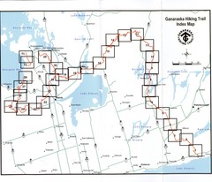
Ganaraska Hiking Trail Map
Map of the hiking trail at Ganaraska forest in Canada. Shows roads, surrounding lakes, towns and...
1522 miles away
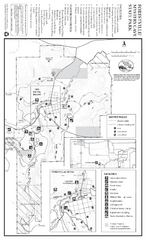
Forestville/Mystery Cave State Park Winter Map
Winter map of park with detail of trails and recreation zones
1524 miles away
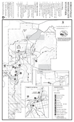
Forestville/Mystery Cave State Park Map
Map of park with detail of trails and recreation zones
1524 miles away
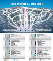
Ski Mont Shefford Ski Trail Map
Trail map from Ski Mont Shefford, which provides downhill skiing. This ski area has its own website.
1525 miles away
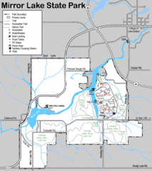
Mirror Lake State Park Map
Nice hiking routes around the lake.
1525 miles away
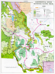
Continental Divide Scenic Trail Map
Guide to the Montana portion of the Continental Divide trail
1526 miles away
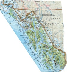
Alaska (South East Map) Panhandle Map
1528 miles away
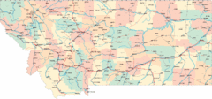
Montana Road Map
1528 miles away
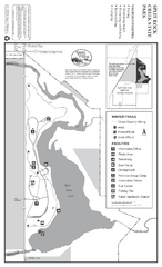
Split Rock Creek State Park Winter Map
Winter seasonal map of park with detail of trails and recreation zones
1528 miles away
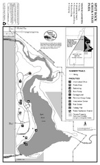
Split Rock Creek State Park Summer Map
Summer seasonal map of park with detail of trails and recreation zones
1528 miles away

Cascade Mountain Ski Trail Map
Official ski trail map of Cascade Mountain ski area
1529 miles away
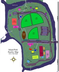
Island Park Facility Map
1529 miles away

Cascade Mountain Ski Trail Map
Trail map from Cascade Mountain.
1529 miles away
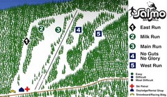
Salmo Ski Area Ski Trail Map
Trail map from Salmo Ski Area, which provides downhill skiing. This ski area has its own website.
1529 miles away

