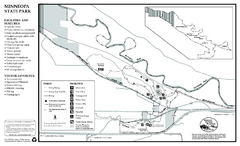
Minneopa State Park Map
Map of park with detail of trails and recreation zones
1496 miles away
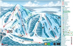
Heights of Horseshoe Ski Trail Map
Trail map from Heights of Horseshoe, which provides downhill skiing. This ski area has its own...
1496 miles away
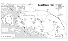
Perrot State Park Map
Have a wonderful vacation hiking through this natural setting.
1496 miles away
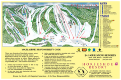
Horseshoe Resort Ski Trail Map
Trail map from Horseshoe Resort, which provides downhill and nordic skiing. This ski area has its...
1496 miles away
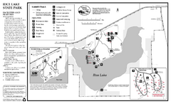
Rice Lake State Park Map
map of park with detail of trails and recreation zones
1497 miles away
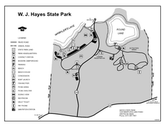
Hayes State Park, Michigan Unit Map
1497 miles away
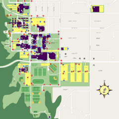
Minnesota State University Mankato Campus Map
Campus map of Minnesota State University Mankato
1497 miles away

Owatonna Map
Visitor Map of Owatonna, Minnesota. Includes all streets, highways, restaurants, hotels, parks and...
1497 miles away
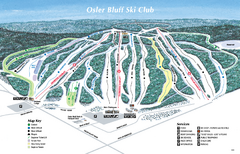
Osler Bluff Ski Club Ski Trail Map
Trail map from Osler Bluff Ski Club, which provides downhill skiing. This ski area has its own...
1497 miles away
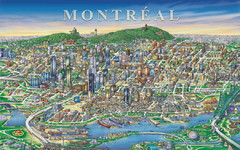
Montreal Downtown pictorial Map
Pictorial illustration of Downtown Montreal
1497 miles away
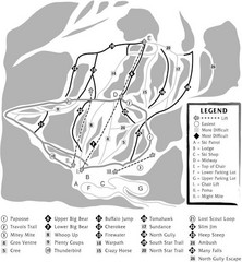
Teton Pass Ski Area Ski Trail Map
Trail map from Teton Pass Ski Area.
1498 miles away
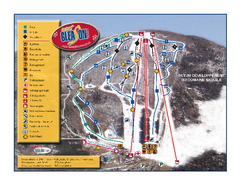
Mont Gleason Ski Trail Map
Trail map from Mont Gleason, which provides downhill skiing. This ski area has its own website.
1498 miles away
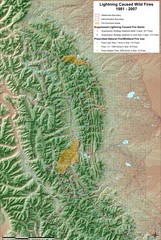
Montana Mountain Range Map
Fires on the Montana mountain range
1499 miles away
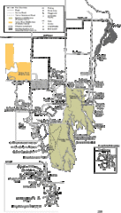
Buckhorn State Park Map
Hiking trails and fun locations marked on this map.
1499 miles away
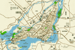
Montreal Tourist Map
1499 miles away
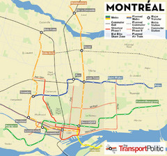
Montreal Tourist Map
1499 miles away
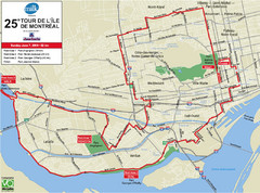
Montreal Tourist Map
1499 miles away
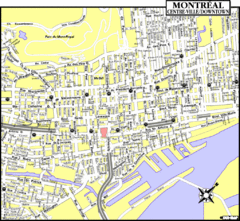
Montreal Tourist Map
1499 miles away
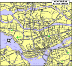
Montreal Tourist Map
1499 miles away
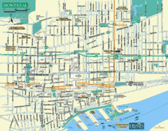
Montreal Tourist Map
1499 miles away
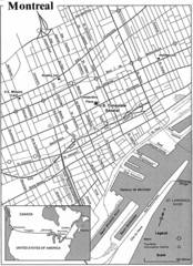
Montreal Tourist Map
1499 miles away
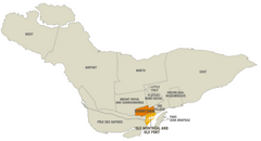
Montreal Neighborhood Map
1499 miles away
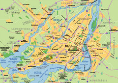
Montreal City Map
City map of Montreal with main roads
1499 miles away
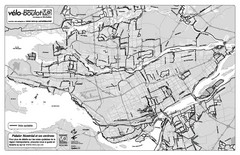
Montreal Bike Route Map
Shows city bike routes. In French.
1499 miles away
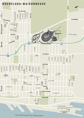
Hochelaga-Maisonneuve Map
1499 miles away
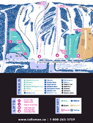
Talisman Mountain Resort Ski Trail Map
Trail map from Talisman Mountain Resort, which provides downhill skiing. This ski area has its own...
1500 miles away
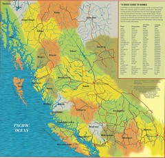
First Nations Peoples of British Columbia Map
"The boundaries between territories are deliberately shown as blending into one another, in...
1500 miles away
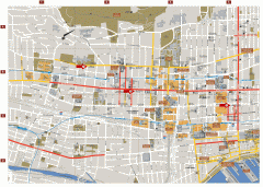
Montreal Downtown Map
Street map of downtown Montreal, Quebec. In French.
1500 miles away
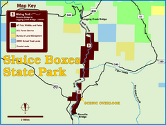
Sluice Boxes State Park Map
Remains of mines, a railroad, and historic cabins line Belt Creek as it winds through a beautiful...
1500 miles away
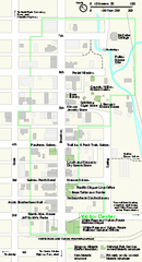
Klondike Gold Rush National Historical Park...
Official NPS map of Klondike Gold Rush National Historical Park in Alaska-Washington. Map shows all...
1500 miles away
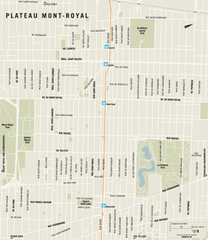
Plateau Mont Royal Map
1501 miles away
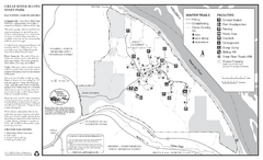
Great River Bluffs State Park Winter Map
Winter season map of park with detail of trails and recreation zones
1501 miles away
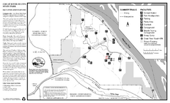
Great River Bluffs State Park Summer Map
Summer season map of park with detail of trails and recreation zones
1501 miles away
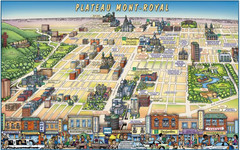
Plateau Mont-Royal Map
Pictorial view of Plateau Mont-Royal
1501 miles away
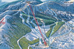
Whitefish Mountain Ski Trail Map - North Side
Official ski trail map of Whitefish Mountain ski area from the 2007-2008 season. (formerly named...
1502 miles away
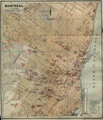
Antique map of Montreal from 1894
"Montreal" from Baedeker, Karl. The Dominion of Canada with Newfoundland and an Excursion...
1502 miles away
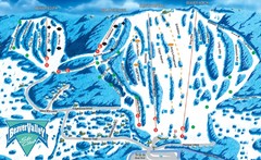
Beaver Valley Ski Trail Map
Trail map from Beaver Valley, which provides downhill skiing. This ski area has its own website.
1502 miles away
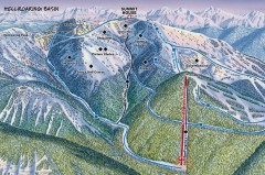
Whitefish Mountain Ski Trail Map - Hellroaring...
Official ski trail map of Whitefish Mountain ski area from the 2007-2008 season. (formerly named...
1502 miles away
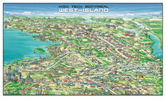
The West-Island Map
Panoramic illustration of High tech business in Montreal's West-Island
1502 miles away


