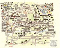
Taylors Falls Restaurant Map
1404 miles away
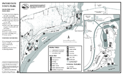
Interstate State Park Map
Map of park with detail of trails and recreation zones
1405 miles away
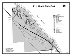
P.H. Hoeft State Park, Michigan Site Map
1405 miles away
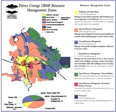
Prince George LRMP Resource Management Zone Map
Prince George Land and Resource Management Plan, color coded by land use.
1405 miles away
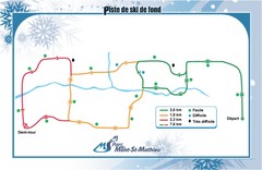
Mont Saint-Mathieu Ski Trail Map
Trail map from Mont Saint-Mathieu, which provides downhill and nordic skiing. This ski area has its...
1405 miles away
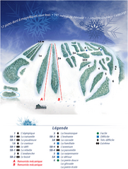
Mont Saint-Mathieu Ski Trail Map
Trail map from Mont Saint-Mathieu, which provides downhill and nordic skiing. This ski area has its...
1405 miles away
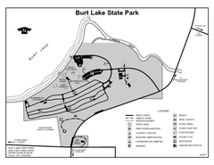
Burt Lake State Park, Michigan Site Map
1406 miles away
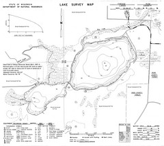
Fireside Lake Survey Map
Survey of Lake and surrounding areas done by State of Wisconsin Department of Natural Resources
1406 miles away
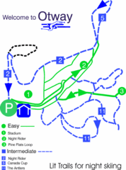
Otway Nordic Centre (Caledonia) Night lit Ski...
Trail map from Otway Nordic Centre (Caledonia), which provides night and nordic skiing. This ski...
1406 miles away
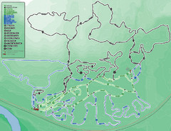
Otway Nordic Centre (Caledonia) Ski Trail Map
Trail map from Otway Nordic Centre (Caledonia), which provides night and nordic skiing. This ski...
1406 miles away
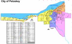
Petoskey Street Map
Street map of Petoskey, Michigan. Official city map.
1406 miles away
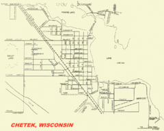
Chetek City Map
City map of Chetek, Wisconsin
1407 miles away

Trollhaugen Ski Area Ski Trail Map
Trail map from Trollhaugen Ski Area.
1408 miles away
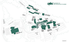
University of Northern British Columbia Campus Map
Campus map of UNBC in Prince George, British Columbia
1408 miles away
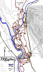
Nipika Ski Trail Map
Trail map from Nipika, which provides nordic skiing. This ski area has its own website.
1409 miles away
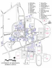
University of Minnesota Morris Campus Map
University of Minnesota Morris Campus map. Description off all buildings, streets and parking lots...
1409 miles away
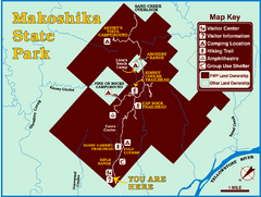
Makoshika State Park Map
To the Sioux Indians, Ma-ko-shi-ka meant bad earth or bad land. Today, as Montana’s largest...
1410 miles away
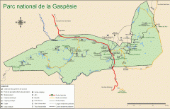
Gaspesie National Park Map - Summer
Official SEPAQ map of Gaspesie National Park in the Gaspe Peninsula, Quebec. Show trails, huts...
1410 miles away

Newport State Park Map
Bicycling, hiking, park office, parking all marked on this detailed map.
1410 miles away
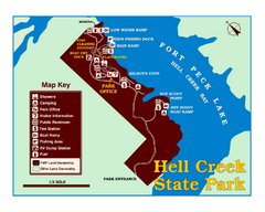
Hell Creek State Park Map
You’ll reach this campground park, 25 miles north of Jordan, through the spectacular scenery...
1410 miles away
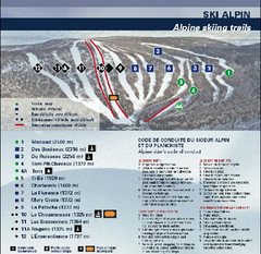
Mont Grand Fonds Ski Trail Map
Trail map from Mont Grand Fonds, which provides downhill and nordic skiing. This ski area has its...
1410 miles away
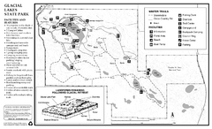
Glacial Lakes State Park Winter Map
Map of park with detail of trails and recreation zones
1410 miles away
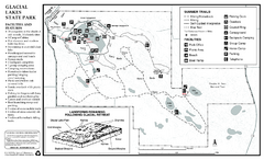
Glacial Lakes State Park Map
Map of park with detail of trails and recreation zones
1410 miles away
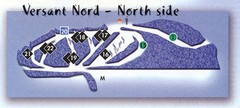
Val D’Irene North Side Ski Trail Map
Trail map from Val D’Irene, which provides downhill and nordic skiing. This ski area has its own...
1413 miles away
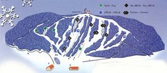
Val D’Irene South Side Ski Trail Map
Trail map from Val D’Irene, which provides downhill and nordic skiing. This ski area has its own...
1413 miles away
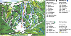
Murray Ridge Ski Trail Map
Trail map from Murray Ridge, which provides downhill and nordic skiing. This ski area has its own...
1414 miles away
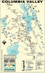
Columbia Valley Map
Easy to follow map and legend of this wilderness area.
1415 miles away
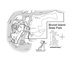
Brunet Island State Park Map
Easy to read legend.
1415 miles away
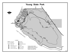
Young State Park, Michigan Site Map
1415 miles away
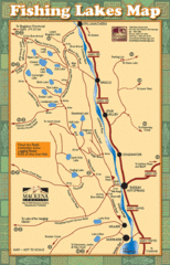
Radium Hot Springs Fishing Map
Beautiful map of the many fishing spots at this amazing site.
1415 miles away
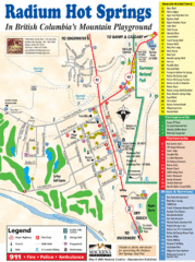
Radium Hot Springs Map
An easy to read map of this amazing hot springs area.
1415 miles away
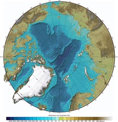
Arctic Ocean Bathymetry Map
1416 miles away

Powder Ridge Ski Area Ski Trail Map
Trail map from Powder Ridge Ski Area.
1416 miles away
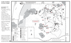
Lake Maria State Park Winter Map
Winter seasonal map of park with detail of trails and recreation zones
1416 miles away
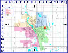
Medford City Map
City map of Medford, Wisconsin. Shows public buildings and districts.
1416 miles away
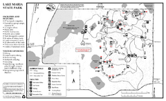
Lake Maria State Park Summer Map
Summer seasonal map of park with detail of trails and recreation zones
1416 miles away
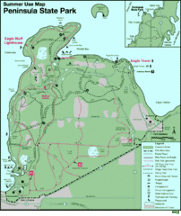
Peninsula State Park Map
Beautiful trails.
1417 miles away

William O'Brien State Park Map
map of park with detail of trails and recreation zones
1417 miles away
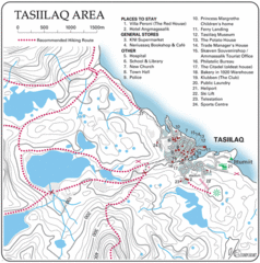
Tasiilaq City Map
Clear map marking facilities and roads.
1419 miles away
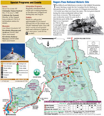
Glacier National Park and Revelstoke National...
Official park map of Glacier National Park and Revelstoke National Park in British Columbia, Canada.
1420 miles away

