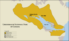
Ukkusiksalik National Park Map
Official map of Ukkusiksalik National Park in Nunavut, Canada around the Wager Bay. Shows national...
0 miles away
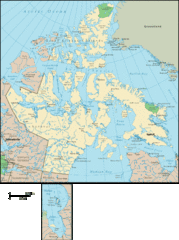
Nunavut Map
Detailed Nunavut Map, newest province in Canada
276 miles away
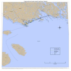
Cape Dorset Map
372 miles away
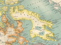
Baffin Island Map
400 miles away
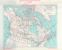
Canada Guide Map
417 miles away
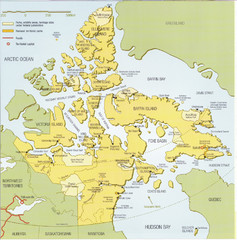
Nunavut Map
Map of Nunavut, Canada. Shows parks and geographical features in the territory.
492 miles away
Central Baffin Island Map
508 miles away
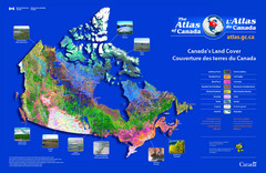
Canada Land Cover Map
Shows color-coded land cover regions of Canada. In French and English.
511 miles away
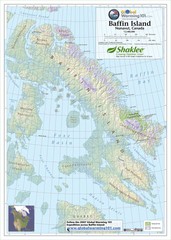
Baffin Island Map
Physical relief map shows national parks and permanent ice. See source for more info on back of...
514 miles away
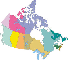
Canada Province Map
558 miles away
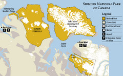
Sirmilik National Park Map
Official map of Sirmilik National Park in Nunavut, Canada. Comprises Borden Peninsula, Bylot...
559 miles away

Canada's Import by Country (2003) Map
Cartograms are a great way to present statistical information. The size of each country is re-sized...
585 miles away

Canada Imports Cartogram 2003 Map
Cartograms are a great way to visualize statistics! Here the world's countries are re-sized...
613 miles away
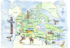
Canadian Tourist Illustrated Map
638 miles away
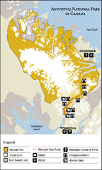
Auyuittuq National Park Map
Official map of Auyuittuq National Park. Shows glacier, emergency shelters, and warden cabins.
642 miles away
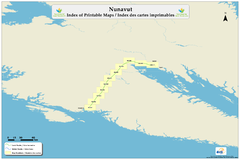
Trans Canada Trail - Nunavut : Index of Printable...
664 miles away
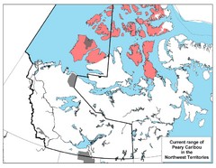
Peary Caribou Range Map
702 miles away
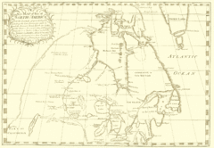
North America Latitude 40 to 68 Degrees Map, 1744
Physical map shows part of North America between latitudes of 40 to 68 degrees.
863 miles away
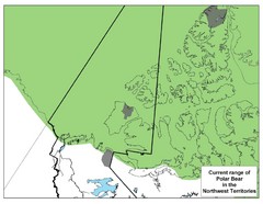
Polar Bear Range in Northwest Territories Map
876 miles away

Map of Canada Circa 1900
876 miles away
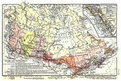
1911 Map of Canada and Newfoundland by Shepherd
This map was from the beautiful 1911 Historical Atlas by William R. Shepherd. Enjoy it!
876 miles away
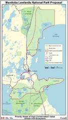
Manitoba Lowlands National Park Tourist Map
888 miles away
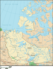
Northwest Territories Map
Overview map of the Northwest Territories of Canada.
889 miles away
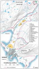
Narssaq City Map
Clearly marked city map and legend.
910 miles away
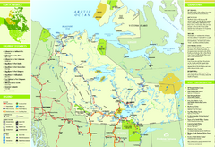
Northwest Territories Map
Overview map of Northwest Territories region, Canada
915 miles away
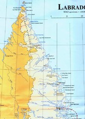
Labrador Peninsula Map
Shows towns in the Labrador Peninsula, Canada. Scanned.
930 miles away
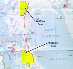
Lake Winnipeg Map
Lake Winnipeg and the land surrounding it.
941 miles away
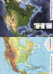
North America Satellite Relief Pair Map
A satellite image of North America twinned with a relief (or physical) representation of the same...
947 miles away
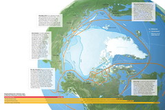
Northwest Passage Map
The ways travel could change if the Northwest Passage were to be re-opened
949 miles away
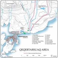
Qeqertarsuaq City Map
Clearly marked city map and detailed legend.
957 miles away
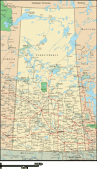
Saskatchewan Overview Map
Overview map of the Canadian province of Saskatchewan.
957 miles away
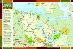
Northwest Territories Outdoor Adventure Map
Outdoor adventure map of Northwest Territories, Canada. Shows Heritage Rivers, Challenging Rivers...
964 miles away
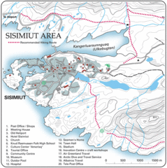
Sisimuit City Map
Clearly labeled city map and legend.
969 miles away
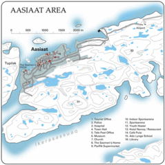
Aasiaat City Map
Clear map and legend of this beautiful city.
975 miles away
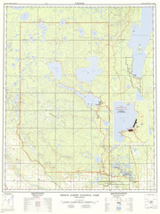
Prince Albert National Park Topo Map
Topographical map of Prince Albert National Park in Saskatchewan, Canada. From atlas.nrcan.gc.ca...
1003 miles away

