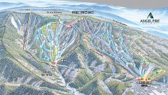
Angel Fire Ski Trail Map
Official ski trail map of Angel Fire ski area from the 2007-2008 season.
219 miles away
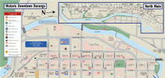
Historic Downtown Durango map
Walking map of historic downtown Durango, Colorado. Sponsored by the Durango Business Improvement...
219 miles away
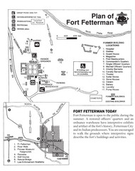
Fort Fetterman State Historic Site Map
Fort Fetterman, located approximately 11 miles northwest of Douglas. The fort was established as a...
224 miles away
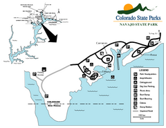
Navajo State Park Map
Map of park with detail of recreation zones
227 miles away
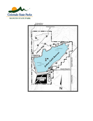
Mancos State Park Map
Map of park with detail of recreation zones
228 miles away
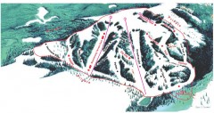
Hogadon Ski Area Trail Map
Ski trail map of Hogadon ski area, located on Casper Mountain
232 miles away
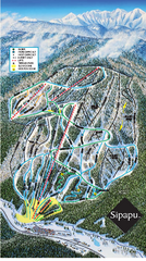
Sipapu Ski Area Ski Trail Map
Trail map from Sipapu Ski Area.
233 miles away
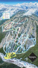
Sipapu Ski Trail Map
Official ski trail map of Sipapu ski area from the 2007-2008 season.
236 miles away
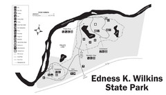
Edness Kimball Wilkins State Park Map
Edness K. Wilkins State Park is a serene day-use park located 6 miles east of Casper off Interstate...
237 miles away
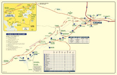
Casper, Wyoming City Map
237 miles away
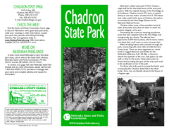
Chadron State Park Map
The majestic beauty of the Pine Ridge forms the backdrop for this great, get away from it all state...
240 miles away
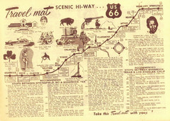
Route 66 Stops Between Shamrock, Texas and Los...
Route 66 Landmarks
242 miles away
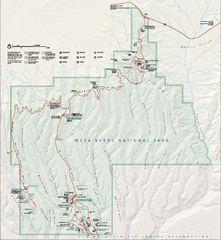
Mesa Verde National Park Official Park Map
Official NPS map of Mesa Verde National Park in Colorado. Mesa Verde National Park is open year...
243 miles away
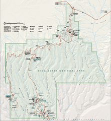
Mesa Verde National Park Official Park Map
Official NPS map of Mesa Verde National Park in Colorado. MESA VERDE NATIONAL PARK IS OPEN DAILY...
243 miles away
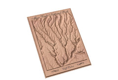
Mesa Verde carved by carvedmaps.com Map
Carved map of Mesa Verde in Colorado by carvedmaps.com
244 miles away
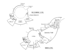
Utah Field House of Natural History Map
So much time is revealed here, even more geologic time than in the Grand Canyon. Within an 80-mile...
244 miles away
Steinaker State Park Map
Fish for rainbow trout and largemouth bass, and enjoy sandy beaches, swim, boat, and waterski at...
246 miles away
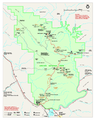
Arches National Park Official map
Official NPS park map of Arches National Park. Shows trails, roads, and all park facilities.
248 miles away
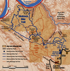
Slickrock Trail Map
Trail map of the famous Slickrock mountain biking trail in Moab, Utah. Trail distances shown. 10...
249 miles away

Arches National Park Map
249 miles away
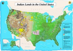
Indian Lands Map
Map of Indian Lands throughout the US
249 miles away
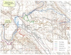
Moab Mountain Unicycling Festival Trail Map
Moab Area Topo Map with trails marked for festival
250 miles away

Continental Divide Map
250 miles away

Utah Dinosaur Country Map
253 miles away
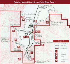
Dead Horse Point State Park Map
261 miles away
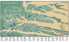
Los Alamos, New Mexico City Map
261 miles away
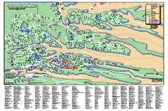
Los Alamos Street map
Los Alamos, New Mexico street and point of interest map. Mesas are colored green.
261 miles away
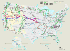
National Trails System Map
Map of all US National Scenic Trails and National Historic Trails. Shows all National Park System...
261 miles away
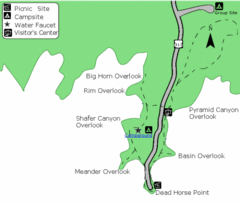
Dead Horse Point State Park Map
Stroll along the Rim Walk, towering 2,000 feet directly above the Colorado River. The mesa that is...
262 miles away
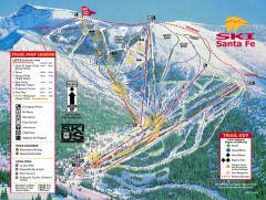
Ski Santa Fe Ski Trail Map
Official ski trail map of Ski Santa Fe ski area from the 2006-2007 season.
262 miles away
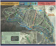
Pajarito Mountain Summer Bike Hike Trail Map
Pajarito Ski Area offers summer bike and hike lift service weekends. When lifts are not running...
262 miles away
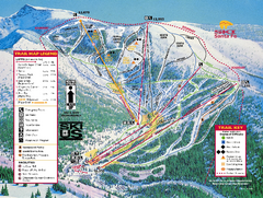
Ski Santa Fe Resort Ski Trail Map
Trail map from Ski Santa Fe Resort.
262 miles away
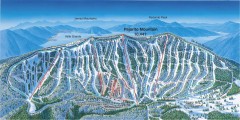
Pajarito Ski Trail Map
Official ski trail map of Pajarito ski area from the 2007-2008 season.
262 miles away
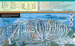
Pajarito Mountain Ski Trail Map
Trail map from Pajarito Mountain.
263 miles away
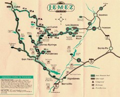
Jemez Mountains, New Mexico Tourist Map
263 miles away
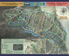
Pojarito Mountain bike Trail Map
Bike trail for Pojarito Mountain, New Mexico
263 miles away
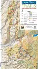
Dale Ball Trail Map
Map of the Dale Ball Trail system includes 22.2 miles of hiking and mountain biking trails that...
270 miles away
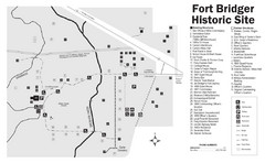
Fort Bridger State Historic Site Map
Established by Jim Bridger and Louis Vasquez in 1843 as an emigrant supply stop along the Oregon...
271 miles away
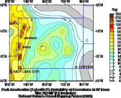
Seismic Hazard Map of Wyoming
Seismic Hazard map of probable earthquake activity for Wyoming.
271 miles away
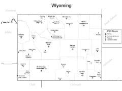
Wyoming Airports Map
271 miles away

