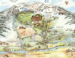
Steamboat Springs Map
A fun map marking points of interest and more.
114 miles away
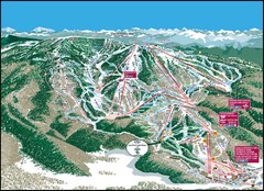
Steamboat Springs Mountain Map
114 miles away
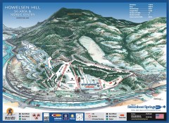
Howelsen Hill Ski Trail Map
Official map of Howelsen Hill ski area in Steamboat, CO. Map shows both downhill and nordic trails...
114 miles away
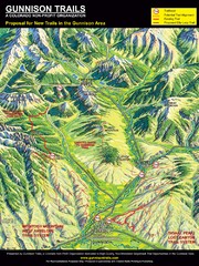
Gunnison Proposed Trails Map
Shows proposed trails from Gunnison, Colorado to Crested Butte, Colorado
116 miles away
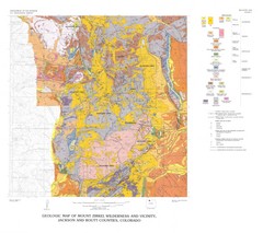
Mount Zirkel Wilderness and Vicinity Geologic Map
Geologic Map of Mount Zirkel Wilderness
120 miles away

Glenwood Springs, CO carved by CarvedMaps.com Map
Glenwood Springs, Colorado carved by CarvedMaps.com Virtually anywhere within the US can be carved...
120 miles away
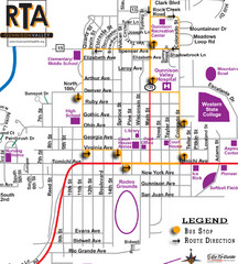
Gunnison RTA Bus Route Map
121 miles away
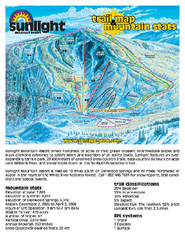
Sunlight Mountain Resort Ski Trail Map
Trail map from Sunlight Mountain Resort, which provides downhill, nordic, and terrain park skiing...
122 miles away
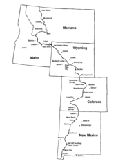
Continental Divide Trail Graphic Map
Guide to the Continental Divide Trail, with major cities and stopping points
123 miles away
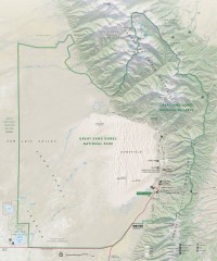
Great Sand Dunes National Park and Preserve map
Official NPS map of Great Sand Dunes National Park and Preserve. Park includes the tallest dune in...
125 miles away
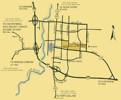
Laramie City Map
City map of Laramie, Wyoming with University of Wyoming highlighted.
126 miles away
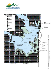
North Sterling State Park Map
Map of park with detail of recreation zones
127 miles away
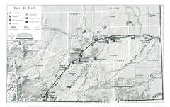
Santa Fe Trail Visitor Map
Map of the Santa Fe Trail showing all hiking trails, camping and picnic areas, roads, and monuments...
131 miles away
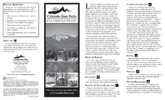
Steamboat Lake State Park Map
Map of park with detail of recreation zones
133 miles away
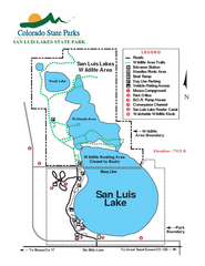
San Luis State Park Map
Map of park with detail of recreation zones
133 miles away
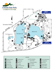
Lathrop State Park Map
Map of park with detail of recreation zones
134 miles away
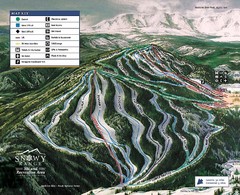
Snowy Range Ski Trail Map
Trail map from Snowy Range.
138 miles away
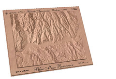
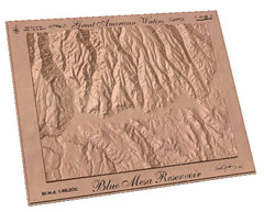
Blue Mesa Reservoir by Carvedmaps.com Map
Blue Mesa Reservoir carved by carvedmaps.com - Tom Justin artist
141 miles away
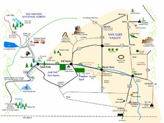
San Luis Valley Tourist Map
Tourist map of San Luis Valley, Colorado area. Shows attractions.
142 miles away
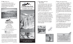
Yampa River State Park Map
Map of park with detail of recreation zones
143 miles away
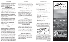
Vega State Park Map
Map of park with detail of recreation zones and campgrounds
147 miles away
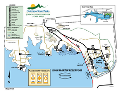
John Martin State Park Map
Map of park with detail of recreation zones
150 miles away
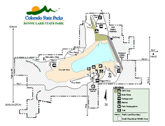
Bonny Lake State Park Map
Map of park with detail of recreation areas
153 miles away
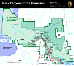
Black Canyon of the Gunnison National Park Map
Official NPS map of Black Canyon of the Gunnison in Colorado. Shows all areas including the South...
156 miles away
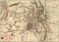
Denver and Rio Grande and Rio Grande Western...
Shows the Denver & Rio Grande and Rio Grande Western railroad system map circa 1904
156 miles away
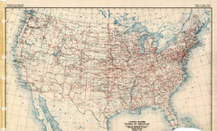
Highway Plan 1926 Map
162 miles away
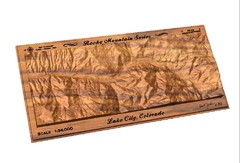
Lake City, CO carved by carvedmaps.com Map
Lake City, CO map carved by carvedmaps.com
162 miles away
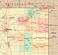
Northeast Colorado Map
162 miles away
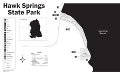
Hawk Springs State Park Map
Hawk Springs Recreation Area has activities for everyone to enjoy: boating, waterskiing, fishing...
167 miles away
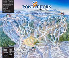
Powderhorn Resort Ski Trail Map
Trail map from Powderhorn Resort, which provides downhill and terrain park skiing. It has 4 lifts...
168 miles away
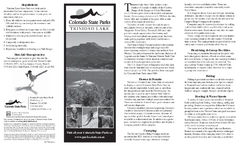
Trinidad State Park Map
Map of park with detail of recreation zones
168 miles away
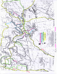
Uncompahgre National Forest Map
National Forest in Western Colorado
168 miles away
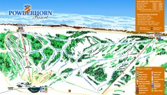
Powderhorn Ski Trail Map
Official ski trail map of Powderhorn Resort ski area from the 2007-2008 season.
169 miles away
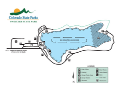
Sweitzer Lake State Park Map
Map of park with detail of recreation zones
170 miles away
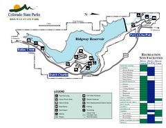
Ridgway State Park Map
Map of park with detail of recreation zones
171 miles away

Wolf Creek Ski Area Ski Trail Map
Trail map from Wolf Creek Ski Area, which provides downhill and nordic skiing. It has 7 lifts...
171 miles away
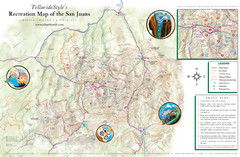
San Juan Mountains Trail Map
171 miles away

Wolf Creek Ski Trail Map
Official ski trail map of Wolf Creek ski area
171 miles away
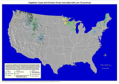
Vegetation types and elevation zones associated...
Historic Lynx Distribution Map for Lynx population from 1842 - 1998 shown on a United States map...
176 miles away

