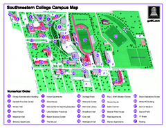
Southwestern College Campus Map
Southwestern College Campus Map. Shows all buildings.
466 miles away

Arizona Snowbowl Ski Trail Map
Official ski trail map of Arizona Snowbowl ski area
466 miles away
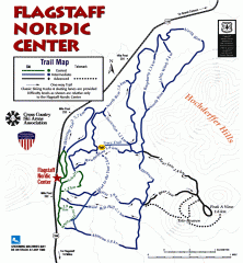
Flagstaff Nordic Center Trail Map
Official ski trail map of Flagstaff Nordic Center
467 miles away
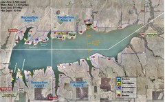
Winfield City Lake Map
Recreation map of Winfield City Lake in Winfield, Kansas. Named Timber Creek Lake. Shows camping...
469 miles away
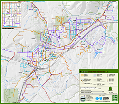
Flagstaff Urban Trails and Bikeways Map
469 miles away
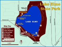
Lake Elmo State Park Map
This urban day-use park attracts visitors to swim, sailboard, and fish. A display in the Fish...
469 miles away
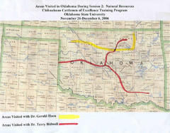
Oklahoma County Map
470 miles away
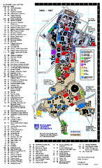
Northern Arizona University Map
Northern Arizona University Campus Map. All buildings shown.
470 miles away
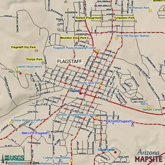
Flagstaff, Arizona City Map
470 miles away
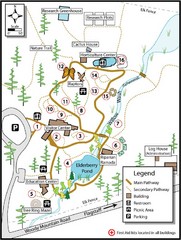
Flagstaff Arboretum Map
470 miles away
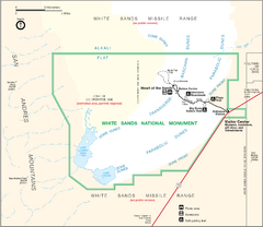
White Sands National Monument Map
473 miles away
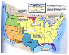
American Expansion 1818-1853 Map
Shows the four major steps through which the US gained most of it's western land between 1818...
475 miles away
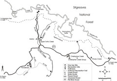
Tonto Creek in Tonto National Forest Map
Printable map for Tonto Creek area of Tonto National Forest with creek and amenenties shown on map.
476 miles away
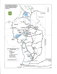
Ashton/Island Park Recreation Sites Map
478 miles away
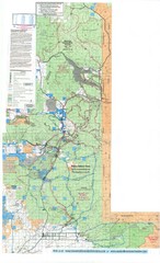
Island Park Idaho Area Snowmobile Map
478 miles away
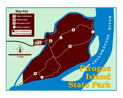
Pirogue Island State Park Map
Visitors find this isolated and undeveloped cottonwood-covered Yellowstone River island an...
479 miles away
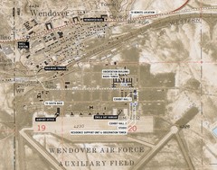
Wendover Air Base Map
481 miles away
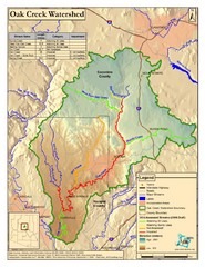
Oak Creek Watershed Map
Colorful Map of Oak Creek Watershed. Includes detailed information about the watershed, roads...
482 miles away
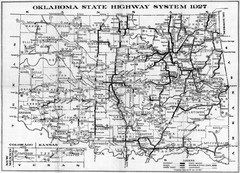
Oklahoma State Highway Map
Highway Map of Oklahoma State circa 1927. Includes all main roads and highways up to state...
483 miles away
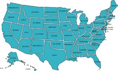
United States Map
484 miles away
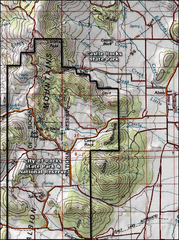
City of Rocks Topo Map
This topo map does not do justice to City of Rocks which is a wonderful reserve that is managed by...
485 miles away
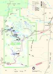
City of Rocks Park Map
This is the official Map for the reserve
485 miles away
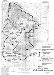
Sites of Cultural Importance, City of Rocks Area...
485 miles away
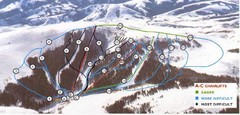
Pomerelle Ski Area Ski Trail Map
Trail map from Pomerelle Ski Area, which provides downhill, night, and terrain park skiing. It has...
486 miles away
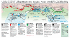
Grand Canyon Shuttle Bus Map
Guide to shuttle bus routes, points of interest and parking in Grand Canyon National Park
486 miles away
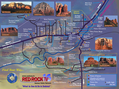
Sedona Tourist Map
Tourist map of Sedona, AZ. Shows points of interest and photos of local red rock formations and...
491 miles away
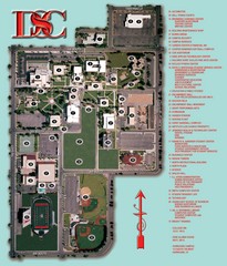
Dixie State College Campus Map
Campus Map
491 miles away
Emigrant Montana towards Baldy and Emigrant Peak...
Emigrant, MT towards Baldy and Emigrant Peak
491 miles away
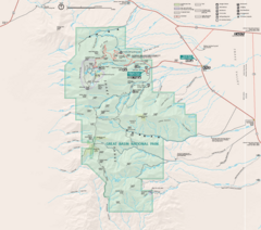
Great Basin National Park Map
491 miles away
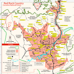
Red Rock County Trail Map
Trail map of trails of Red Rock County, AZ around Sedona, AZ. Shows trailheads and trail names.
491 miles away
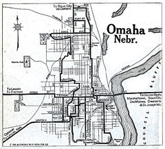
Omaha Nebraska 1920 Map
492 miles away
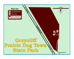
Greycliff Prairie Dog Town State Park Map
Grab your camera and hop off Interstate 90 at Greycliff to delight in the playful, curious black...
492 miles away
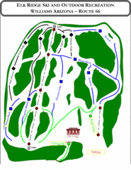
Elk Ridge Ski Trail Map
Trail map from Elk Ridge, which provides downhill skiing. It has 2 lifts servicing 7 runs; the...
493 miles away
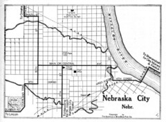
Nebraska City 1920 Map
493 miles away

Stone State Park Map
Map of trails and park facilities in Stone State Park.
494 miles away
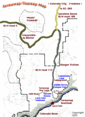
Toroweap Park Map
495 miles away

Wilson Island State Recreation Area Map
Map of trails, boat ramps and park facilities in Wilson Island State Recreation Area.
495 miles away
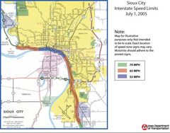
Sioux City, Iowa City Map
496 miles away
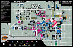
Oklahoma State University Map
496 miles away

