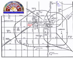
Lubbock City Map
City map of Lubbock, Texas
449 miles away
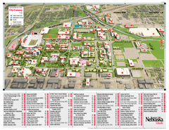
University of Nebraska - Lincoln Map
Campus Map of the University of Nebraska - Lincoln Campus. All areas shown.
450 miles away
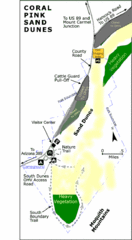
Coral Pink Sand Dunes State Park Map
Rippling arcs of rust-colored sand welcome you as you enter Coral Pink Sand Dunes State Park...
451 miles away
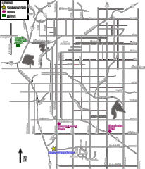
Lincoln, Nebraska City Map
451 miles away
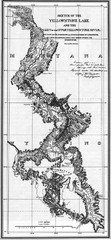
1871 Yellowstone River and Lake Map
Historic guide to the Yellowstone River and Lake in Yellostone National Park
451 miles away
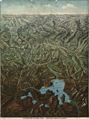
Fee’s map of Yellowstone National Park...
Charles S. Fee's map of Yellowstone in 1895.
451 miles away
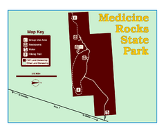
Medicine Rocks State Park Map
As the name implies, Medicine Rocks was a place of "big medicine" where Indian hunting...
451 miles away
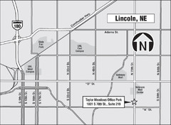
Lincoln, Nebraska Map
452 miles away
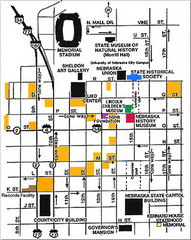
Downtown Lincoln, Nebraska Map
Red is the Nebraska History Museum. School bus parking is on the west side of 15th Street in front...
452 miles away
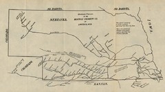
Skimming Stations of the Beatrice Creamery...
"Skimming Stations of the Beatrice Creamery Co. of Lincoln, Neb." From Report of the...
452 miles away
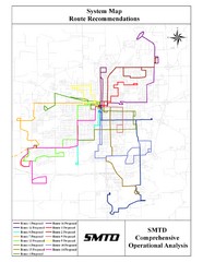
Lincoln Bus Map
452 miles away
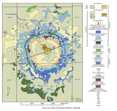
Meteor Crater Geologic Map
452 miles away
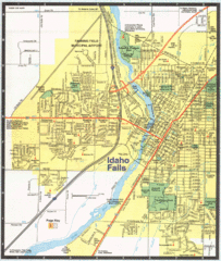
Idaho Falls, Idaho City Map
453 miles away
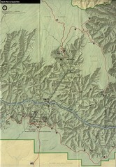
Grand Canyon National Park Map
453 miles away
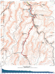
Grand Canyon Havasupai Campground Map
The Grand Canyon Havasupai Campground Map
453 miles away
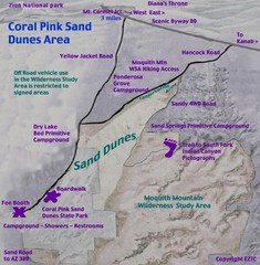
Coral Pink Sand Dunes Map
453 miles away
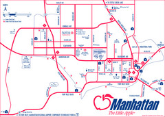
Manhattan (Kansas) City Map
City Map of Manhattan, Kansas including Kansas State University
454 miles away
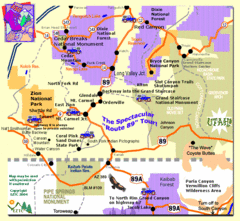
Zion National Park Tourist Map
454 miles away
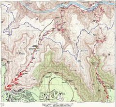
Grand Canyon Hiking Trail Map
Topo map of the Grand Canyon with a loop hike down the South Kaibab Trail and up Bright Angel Trail...
455 miles away
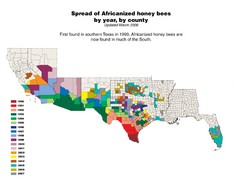
US African Honey Bee Map
Map of the US spread of Africanized honey bees by year, by county, from 1990 to 2007.
455 miles away
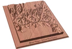
North Rim of the Grand Canyon carved by...
Grand Canyon carved by CarvedMaps.com. They specialize in hard wood carved maps of anywhere within...
455 miles away
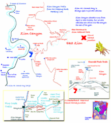
Zion National Park Trails Map
455 miles away
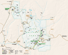
Zion National Park Official map
Official park map of Zion National Park. Shows trails, roads, and all park facilities.
457 miles away
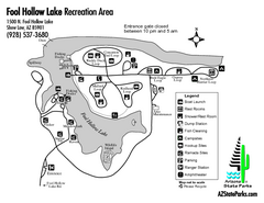
Fool Hollow Lake Recreation Area Map
Map of recreation area with detail of trails and recreation zones
457 miles away
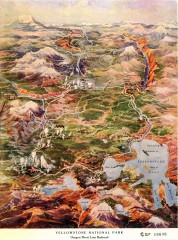
Detail of Yellowstone National Park, 1910 Map
Detail of Yellowstone National Park showing the Oregon Short Line Railroad, 1910
458 miles away
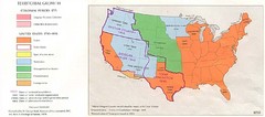
Territorial Expansion in Eastern United States...
458 miles away
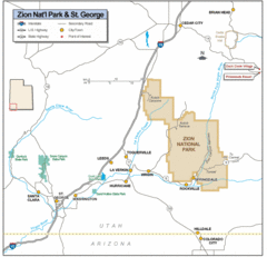
Zion National Park Highway Map
Highways, roads, cities and points of interest are marked on this clear map.
459 miles away
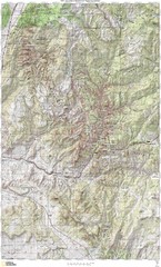
Zion National Park Topography Map
459 miles away

Zion Canyon Map
A detailed map of the Zion Canyon in Zion National Park
459 miles away
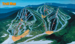
Sunrise Park Resort Ski Trail Map
Trail map from Sunrise Park Resort, which provides downhill, night, nordic, and terrain park skiing...
459 miles away
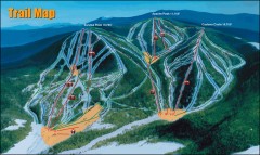
Sunrise Park Ski Trail Map
Official ski trail map of Sunrise Park ski area
460 miles away
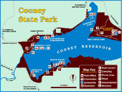
Cooney State Park Map
Simple and clear State Park Map.
460 miles away
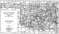
Oklahama Highway Map
Highway Map of Oklahoma State circa 1935. Includes all roads, towns, and detailed information on...
461 miles away
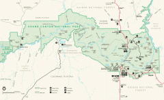
Grand Canyon National Park map
Official map of Grand Canyon National Park. Currently not available on the NPS website
461 miles away
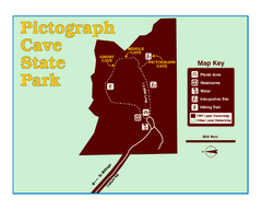
Pictograph Cave State Park Map
The 2,730-square-foot building, on the northwestern side of the existing parking lot, is designed...
461 miles away
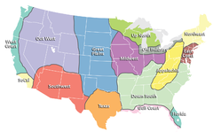
Regions of the United States Map
Appalachia- Hills, hills and more hills. Appalachian landforms contribute to landscapes of...
461 miles away

Bonneville Salt Flats International Speedway Map
462 miles away
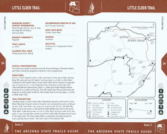
Little Elden Trail Map
Guide to Little Elden Trail near Flagstaff, AZ
464 miles away
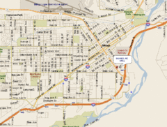
Billings, Montana City Map
466 miles away

