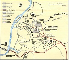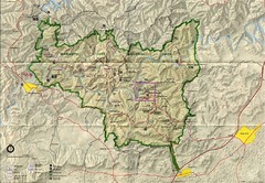
Mammoth Cave National Park Map
Visitor Center Area Map and Park Map. Topographical map that shows parameters of the park as well...
158 miles away
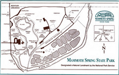
Mammoth Spring State Park Map
158 miles away

Walnut Point State Park, Illinois Site Map
158 miles away
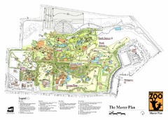
Nashville Zoo Map
159 miles away
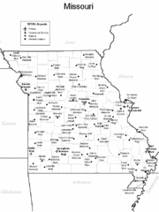
Missouri Airports Map
159 miles away
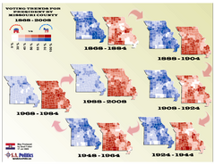
Voting Trends for President by Missouri County Map
159 miles away
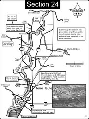
Terre Haute, IN Wabash River Map
This is a page from the Wabash River Guidebook. The map shows important information for boaters and...
159 miles away

Looking for Lincoln Walking Tour, Springfield...
Looking for Lincoln walking tour map, Springfield, Illinois. Shows sites associated with President...
161 miles away
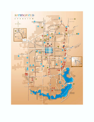
Springfield, Illinois Map
Tourist maps of Springfield, Illinois. Includes two maps: wider view of Springfield, and downtown...
161 miles away
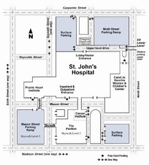
St. John's Hospital Visitor Map
St. John's Hospital Visitor Map includes all main buildings, names of streets and parking...
162 miles away

Illinois State Fairgrounds Map
164 miles away
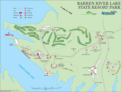
Barren River Lake State Resort Park Map
Map of facilities and golf course in Barren River Lake State Resort Park.
167 miles away
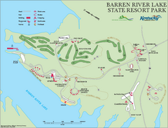
Barren River State Park map
Recreation map for Barren River Lake State Park in Kentucky
167 miles away
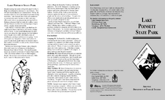
Lake Poinsett State Park Map
Map of Lake Poinsett State Park showing Great Blue Heron Trail , boat ramps and park amenities.
168 miles away
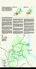
Shiloh National Military Park Official Park Map
Official NPS map of Shiloh National Military Park in Tennessee. The park is open every day except...
169 miles away

Painted DEM of Menard Co. Illinois Map
Mosaic painted DEM of Menard Co. using Arc/Info 8.x; AML; Perl; Erdas Imagine on SUN Hardware (Unix...
171 miles away
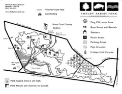
Shelby Farms Park Map
172 miles away
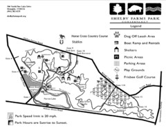
Shelby Farms Park Activities Areas Map
Visitor map of Shelby Farms Park. Shows parameters of dog areas, parking, play grounds, shelters...
172 miles away
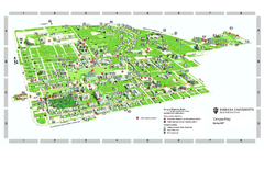
Indiana University - Bloomington Map
Campus map of Indiana University at Bloomington. All buildings shown.
174 miles away
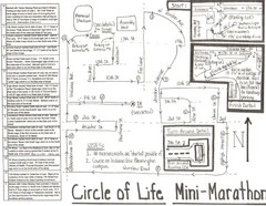
Circle of Life Mini-Marathon Map
Detailed Hand-Drawn Course for Circle of Life Mini-Marathon Map
174 miles away
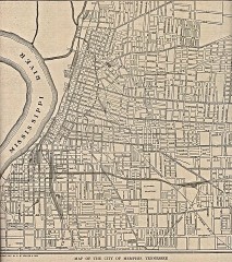
Antique map of Memphis from 1911
Antique map of Memphis, Tennessee from The New Encyclopedic Atlas and Gazetteer of the World. New...
175 miles away
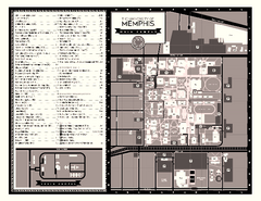
University of Memphis Map
Campus Map of the University of Memphis. All buildings shown.
175 miles away
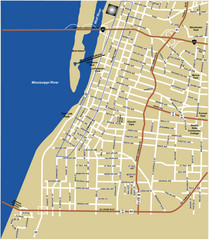
Downtown Memphis Map
175 miles away
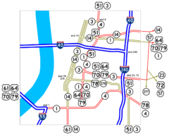
Downtown Memphis Map
Roads and freeways around Memphis.
176 miles away
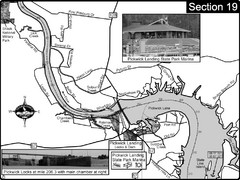
Pickwick Lake Tennessee River Map
For boating navigational information and river road travel along the Tennessee River. This map...
176 miles away
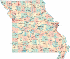
Missouri Map
Map of Missouri, including main roads and towns
177 miles away
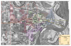
West Memphis City Map
City Map of West Memphis with ward boundaries
177 miles away

Edward R. Madigan State Park, Illinois Site Map
180 miles away
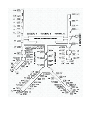
Memphis International Airport Terminal Map
Official Terminal Map of Memphis International Airport. Shows all terminals.
181 miles away
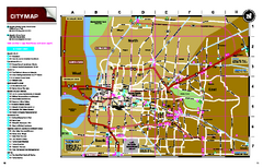
Memphis, Tennessee City Map
181 miles away
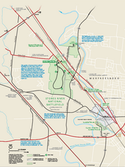
Stones River National Battlefield Official Map
Official NPS map of Stones River National Battlefield in Virginia. 8 AM to 5 PM Daily Pedestrians...
182 miles away
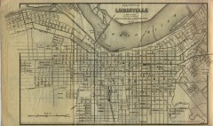
Antique map of Louisville from 1873
Map of Louisville, Kentucky from Appletons' Hand-Book of American Travel, Southern Tour...
182 miles away
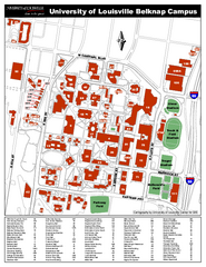
University of Louisville Map
University of Louisville Campus Map. All buildings shown.
182 miles away
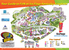
Six Flags Kentucky Kingdom Theme Park Map
Official Park Map of Six Flags Kentucky Kingdom in Kentucky.
182 miles away
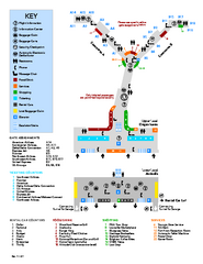
Louisville International Airport Terminal Map
Official Map of the Louisville International Airport. Shows all terminals and facilities.
182 miles away
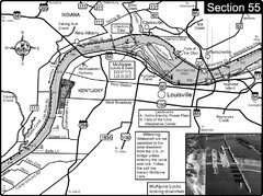
Ohio River at Louisville, KY & Southern...
This is from the Ohio River Guidebook
182 miles away
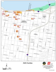
Louisville, Kentucky Tourist Map
182 miles away

