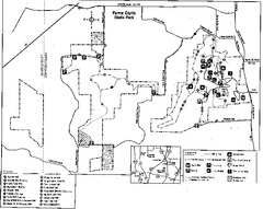
Ferne Clyffe State Park, Illinois Site Map
0 miles away
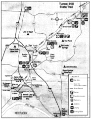
Tunnel Hill State Trail, Illinois Site Map
7 miles away
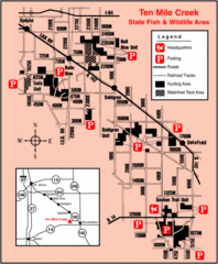
Ten Mile Creek State Wildlife Area, Illinois Site...
9 miles away
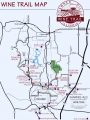
Shawnee Hills Wine Trail Map
Wineries in the Shawnee Hills area of Illinois.
12 miles away
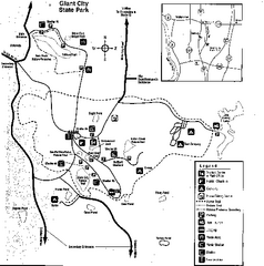
Giant City, Illinois Site Map
13 miles away
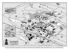
Southern Illinois University Carbondale Map
Campus Map of the Southern Illinois University Carbondale. All buildings shown.
19 miles away
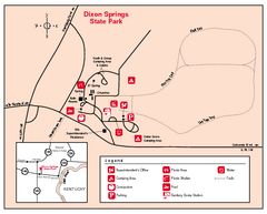
Dixon Springs State Park, Illinois Site Map
20 miles away
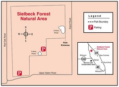
Sielbeck Forest, Illinois Site Map
20 miles away
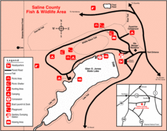
Saline County State Fish & Wildlife Area...
25 miles away
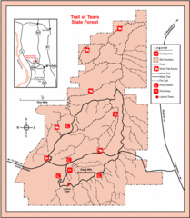
Trail of Tears State Park, Illinois Map
28 miles away
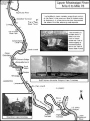
Upper Mississippi River Mile 0 to Mile 78 Map
Historical Map from book "Mississippi River-Historical Sites and Interesting Places
33 miles away
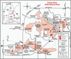
Cache River, Illinois Site Map
33 miles away
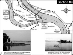
Ohio River at Cairo, IL and the Mississippi River...
The Ohio River ends at it's confluence with the Mississippi River at mile 981. This is a page...
38 miles away
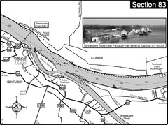
Ohio River & Tennessee River at Paducah, KY...
This is a page from the Ohio River Guidebook. The map shows important information for boaters and...
40 miles away
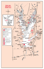
Rend Lake State Park, Illinois Site Map
40 miles away
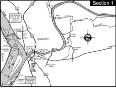
Smithland, KY Cumberland & Ohio Rivers Map
This is the mouth (end) of the Cumberland River as it pours into the Ohio River after flowing 695...
42 miles away
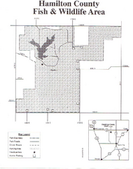
Hamilton County Wildlife Area, Illinois Site Map
43 miles away
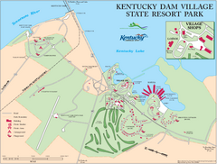
Kentucky Dam Village State Resort Park Map
Map of golf course and facilities for Kentucky Dam Village State Resort Park, one of three state...
53 miles away

Piney Creek Ravine, Illinois Site Map
54 miles away
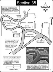
Mount Vernon, IN Wabash River & Ohio River Map
This is a page from the Wabash River Guidebook. The map shows important information for boaters and...
55 miles away

Randolph County State Park, Illinois Site Map
57 miles away
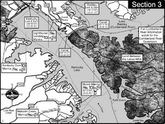
Kentucky Lake Tennesssee River-Land Between the...
This is the upper end of Kentucky Lake which is the Tennessee River. The map is designed for...
58 miles away
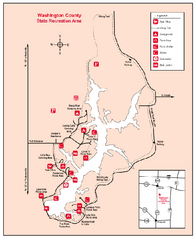
Washington County State Recreational Area...
64 miles away
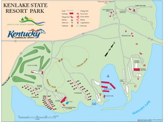
KenLake State Resort Park Map
Map of trails, facilities, and golf course for the KenLake State Resort Park located on the mid...
69 miles away
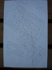
Prairie du Rocher City Map
Historical city map of Prairie du Rocher
72 miles away
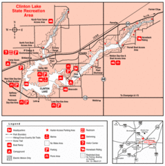
Clinton Lake, Illinois Site Map
72 miles away
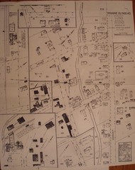
Prairie du Rocher City Map
Historical city map of Prairie du Rocher, Illinois
73 miles away
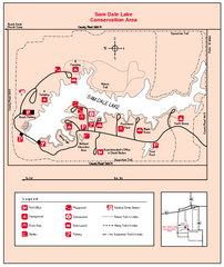
Sam Dale Lake, Illinois Site Map
73 miles away
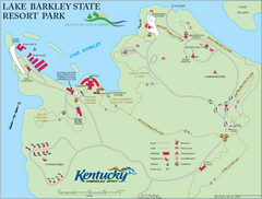
Lake Barkley State Resort Park Map
Map of the trails and facilities of Lake Barkley State Resort Park.
75 miles away
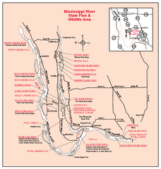
Mississippi River, Illinois Site Map
75 miles away
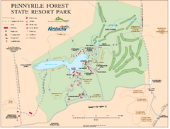
Pennyrile State Resort Park map
Recreation map for Pennyrile Forest State Park in Kentucky
77 miles away
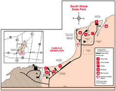
South Shore State Park, Illinois Site Map
78 miles away
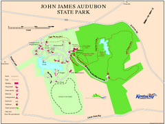
John James Audubon State Park Map
Map of trails, facilities and historical sites in John James Audubon State Park.
81 miles away
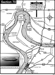
Ohio River at Evansville, IN and Henderson, KY Map
This is a page from the Ohio River Guidebook. The map shows important information for boaters and...
82 miles away

Carlyle Lake, Illinois Site Map
83 miles away
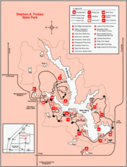
Stephen A. Forbes State Park, Illinois Site Map
83 miles away
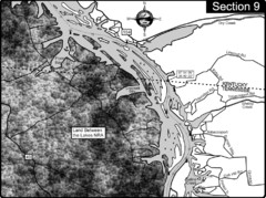
Lake Barkley-Cumberland River Map
Portion of Lake Barkley formed on the Cumberland River. In this section the state line is shown...
84 miles away
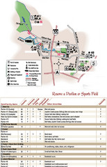
City of Festus Parks Map
91 miles away
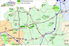
Green River Area Hunting Map
Map marking highways, forests, parks and hunting zones in Kentucky's beautiful Green River...
92 miles away
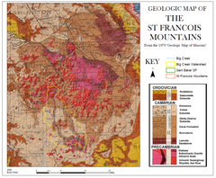
St. Francois Mountains Geologic Map
Map displaying the geology of the St. Francois Mountains in Missouri. Taken from the 1979 "...
93 miles away

