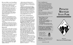
Pinnacle Mountain State Park Map
Map of the Pinnacle Mountain State Park including trails, park sites and amenities.
392 miles away

Sleeping Bear Dunes National Lakeshore Map
392 miles away
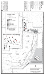
Blue Mounds State Park Map
Map of park with detail of trails and recreation zones
392 miles away
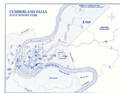
Cumberland Falls State Resort Park Map
Cumberland Falls Park Area Map
392 miles away
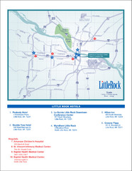
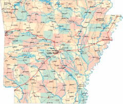
Little Rock Map
392 miles away
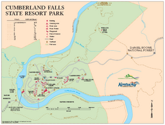
Cumberland Falls State Resort Park map
Detailed recreation map for Cumberland Falls State Resort Park in Kentucky
392 miles away

South Manitou Island Map
393 miles away
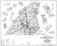
Mccreary County General Highway Map
Map of McCreary County with road, waterways and towns identified.
393 miles away
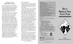
Delta Heritage Trail State Park Map
Map of Arkansas Historical Delta Heritage Trail both completed and uncompleted sections.
393 miles away
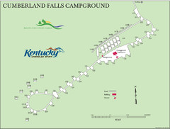
Cumberland Falls Map
394 miles away
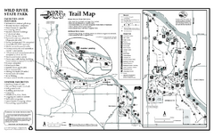
Wild River State Park Map
map of park with detail of trails and recreation zones
394 miles away
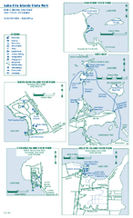
Lake Erie Islands State Park map
Detailed recreation map for the Lake Erie Islands State Parks in Ohio
394 miles away
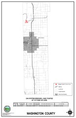
School Bus Route Map
394 miles away
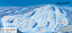
Pine Knob Ski Resort Ski Trail Map
Trail map from Pine Knob Ski Resort.
394 miles away
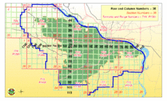
Little Rock City Map
City map of Little Rock, Arkansas with section designations
395 miles away
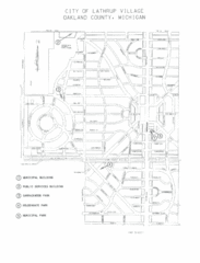
Lathrup Village Street Map
395 miles away
Toltec Mounds Archeological State Park Map
Map of the trails and earthworks sites of the Toltec Mounds Archeological State Park.
395 miles away
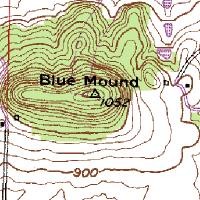
Mont Bleau Ski Trail Map
Trail map from Mont Bleau. This ski area opened in 1965/66.
395 miles away
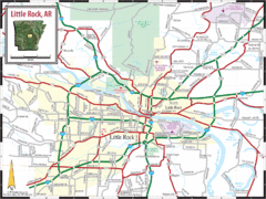
Little Rock, Arkansas City Map
396 miles away
Mount Magazine State Park Map
Map of Mount Magazine State Park showing hiking trails and amenities.
396 miles away
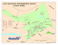
Levi Jackson Wilderness Road State Park Map
Map of trails and facilities of Levi Jackson Wilderness Road State Park.
396 miles away
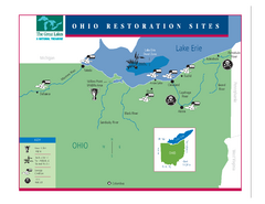
Lake Erie Restoration Sites Map
Shows restoration sites for Lake Erie in Ohio
396 miles away
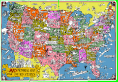
A MAD Pictorial Map of the United States - Front...
I found these raw assembled scans in a dieing torrent in 2010. Hash code...
396 miles away
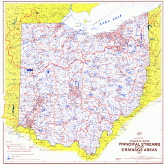
Ohio Watersheds Map
Principal Streams and their Drainage Areas. Based on map by C. E. Sherman, July 1925
397 miles away
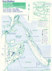
East Harbor State Park Map
397 miles away
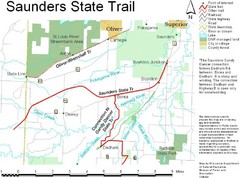
Saunders State Trail Map
Points of interest, lakes, roads, forests and more are marked on this map's key.
397 miles away
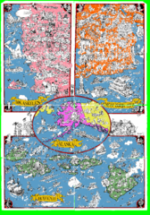
A MAD Pictorial Map of the United States - Back...
I found these raw assembled scans in a dieing torrent in 2010. Hash code...
399 miles away
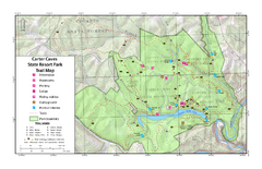
Carter Caves State Resort Park Topographic Trails...
Topographic map of the trails of Carter Caves State Resort Park.
399 miles away
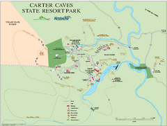
Carter Caves State Resort Park map
Detailed recreation map for Carter Caves State Park in Kentucky
399 miles away
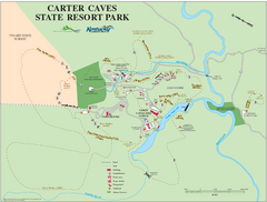
Carter Caves State Resort Park Map
Map of trails and facilities of Carter Caves State Resort Park.
399 miles away

Wayne State University Map
399 miles away

Rock Island State Park Map
Tour around this beautiful state park.
399 miles away
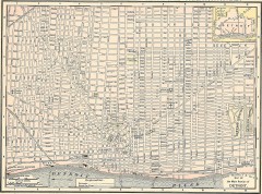
Map of the Main Portion of Detroit - 1895
Map of downtown Detroit, 1895. From Rand McNally's Atlas of the World, 1901, page 42
399 miles away

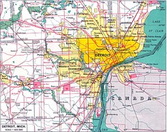
Detroit, Michigan City Map
399 miles away
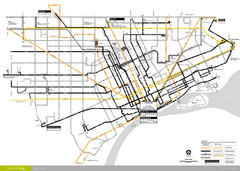
DDOT 2006 System Map
Detroit Department of Transportation Transit System.
399 miles away
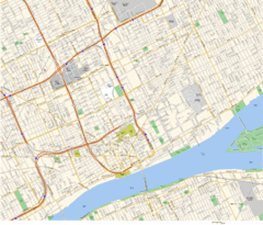
Detroit, MI Tourist Map
399 miles away
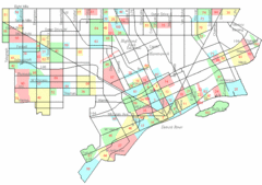
Detroit Neighborhoods Map
399 miles away
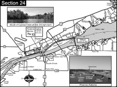
Florence, AL Tennessee River Map
For boating navigational information and river road travel along the Tennessee River. This map...
400 miles away

