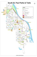
South St. Paul Parks and Trails Map
Park and trail map of South St. Paul, Minnesota.
355 miles away
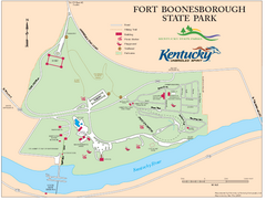
Fort Boonesborough State Park Map
Map of trails, historical sites and facilities at Fort Boonesborough State Park.
355 miles away

Camp Miakonda Map
356 miles away
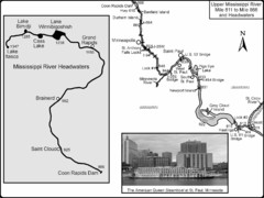
Upper Mississippi River Mile 811 to Mile 1347 Map
Historical Map from book "Mississippi River-Historical Sites and Interesting Places
356 miles away
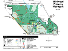
Wildwood Preserve Metropark Map
356 miles away

Swan Creek Metropark Map
356 miles away

Willow River State Park Map
Easily read map with detailed markings.
356 miles away
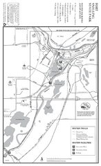
Fort Snelling State Park Winter Map
Winter map of park with detail of trails and recreation zones
357 miles away
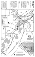
Fort Snelling State Park Summer Map
Summer map of park with detail of trails and recreation zones
357 miles away
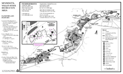
Minnesota Valley State Recreation Area Map
Map of recreation area with detail of trails and recreation zones
357 miles away
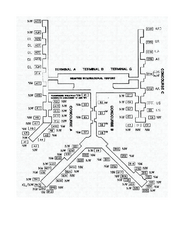
Memphis International Airport Terminal Map
Official Terminal Map of Memphis International Airport. Shows all terminals.
357 miles away
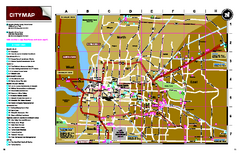
Memphis, Tennessee City Map
357 miles away
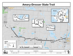
Ammery Dresser Trail Map
Easy to follow trail map.
357 miles away
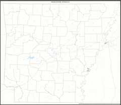
Arkansas Zip Code Map
Check out this Zip code map and every other state and county zip code map zipcodeguy.com.
357 miles away
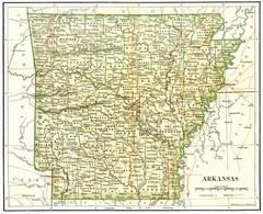
Old Arkansas Map
Old 1892 historical map in great condition.
357 miles away
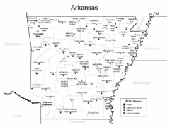
Arkansas Airports Map
357 miles away
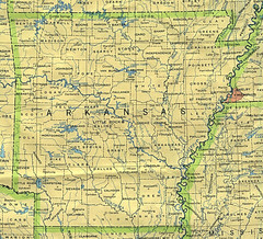
Arkansas County Map
Arkansas divided into counties
357 miles away
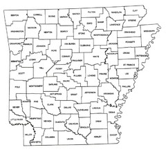
Arkansas Historical County Map
Historical County Map of Arkansas from 1936
357 miles away
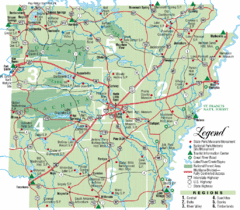
Arkansas State Park Map
Map highlights Arkansas State Parks and tourist areas including towns and major roads.
357 miles away
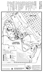
Flandrau State Park Map
Map of park with detail of trails and recreation zones
357 miles away
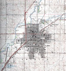
Lemars Iowa Topo Map
USGS topo map of Lemars, Iowa
357 miles away
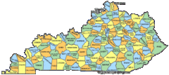
Kentucky Counties Map
358 miles away
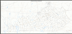
Kentucky Zip Code Map
Check out this Zip code map and every other state and county zip code map zipcodeguy.com.
358 miles away
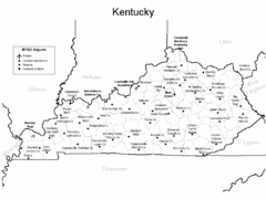
Kentucky Airports Map
358 miles away
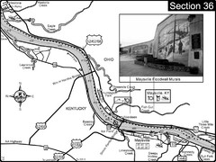
Ohio River at Maysville, Kentucky Map
This is a page from the Ohio River Guidebook. The map shows important information for boaters and...
358 miles away
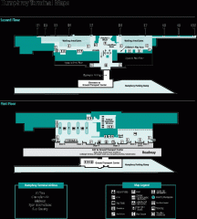
Minneapolis-St. Paul International Airport...
Official Map of Minneapolis-St. Paul International Airport. Shows Humphrey Terminal.
358 miles away
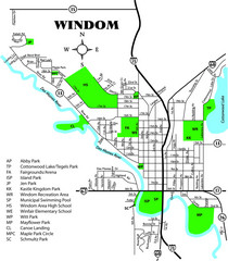
Windom City Parks Map
358 miles away
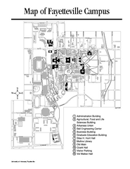
University of Arkansas Map
Campus Map of the University of Arkansas. All buildings shown.
358 miles away
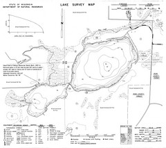
Fireside Lake Survey Map
Survey of Lake and surrounding areas done by State of Wisconsin Department of Natural Resources
359 miles away
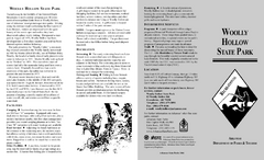
Woolly Hollow State Park Map
Map of Woolly Hollow State Park showing hiking trails and park amenities.
359 miles away
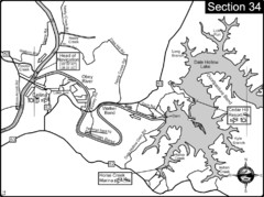
Celina, TN Dale Hollow Lake-Cumberland River Map
Celina Tennessee is the location for the head of navigation for the Cumberland River at the fork of...
359 miles away
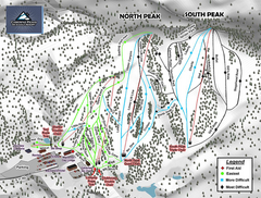
Caberfae Peaks Ski & Golf Resort Ski Trail Map
Trail map from Caberfae Peaks Ski & Golf Resort.
359 miles away

Toledo Zoo Map
359 miles away
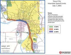
Sioux City, Iowa City Map
359 miles away
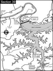
Lake Cumberland-Cumberland River Map
Lake Cumberland is formed by a dam on the Cumberland River in Section 39 of the Cumberland River...
359 miles away
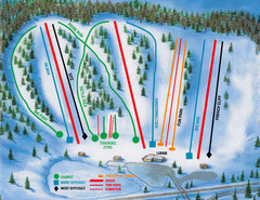
Hyland Ski and Snowboard Area Ski Trail Map
Trail map from Hyland Ski and Snowboard Area, which provides downhill, night, and terrain park...
359 miles away
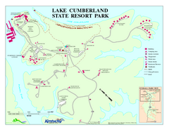
Lake Cumberland State Resort Park Map
Map of trails and facilities for Lake Cumberland State Resort Park.
359 miles away
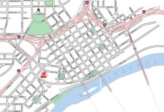
St. Paul, Minnesota City Map
360 miles away
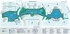
Centennial Lakes Park Map
360 miles away

Alma City Map
City map of Alma, Michigan with Alma College highlighted
360 miles away

