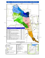
Ohio EPA Subwatersheds Boundaries in Darby...
Map shows watersheds by colors for West Central Ohio
344 miles away

Oak Openings Metropark Map
344 miles away
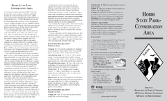
Hobbs State Park Map
Map of Hobbs State Park Conservation Area showing trail heads, roads, places of interests and...
345 miles away
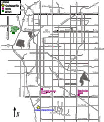
Lincoln, Nebraska City Map
345 miles away
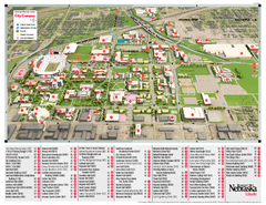
University of Nebraska - Lincoln Map
Campus Map of the University of Nebraska - Lincoln Campus. All areas shown.
345 miles away

Clay Banks, Wisconsin Survey Project Map
345 miles away
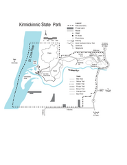
Kinnickinnic State Park Map
Map detailing hiking routes and stops along the way.
346 miles away
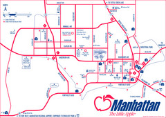
Manhattan (Kansas) City Map
City Map of Manhattan, Kansas including Kansas State University
347 miles away
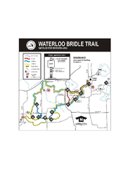
Waterloo State Recreation Area Bridle Trails Map
The Waterloo State Recreation Area has 12 miles of bridle trails and a horse campground.
348 miles away
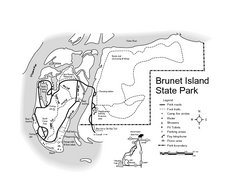
Brunet Island State Park Map
Easy to read legend.
348 miles away

Afton Alps Ski Area Ski Trail Map
Trail map from Afton Alps Ski Area, which provides downhill, night, and terrain park skiing. It has...
348 miles away
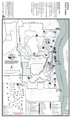
Afton State Park Summer Map
Map of park with detail of trails and recreation zones
348 miles away
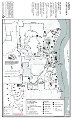
Afton State Park Winter Map
Map of park with detail of trails and recreation zones
348 miles away
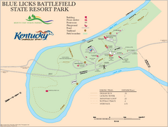
Blue Licks Battlefield State Resort Park Map
Map of Trails and Facilities in Blue Licks Battlefield State Resort Park.
349 miles away
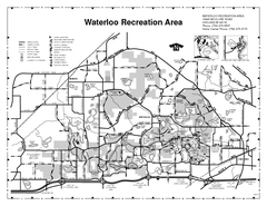
Waterloo State Recreation Area Map
The park is over 20,000 acres and has 4 campgrounds, beaches, picnic areas, 11 fishing lakes...
349 miles away

Farnsworth/Bend View Metropark Map
349 miles away
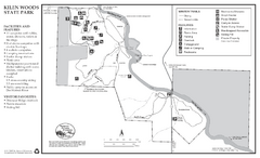
Kilen Woods State Park Winter Map
Winter seasonal map of park with detail of trails and recreation zones
349 miles away
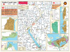
Tuttle Creek Lake Map
Army Corps of Engineers Map of Tuttle Creek Lake and adjoining State Parks.
349 miles away
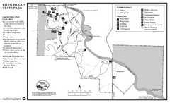
Kilen Woods State Park Summer Map
Summer seasonal map of park with detail of trails and recreation zones
349 miles away
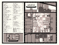
University of Memphis Map
Campus Map of the University of Memphis. All buildings shown.
350 miles away
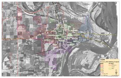
West Memphis City Map
City Map of West Memphis with ward boundaries
350 miles away
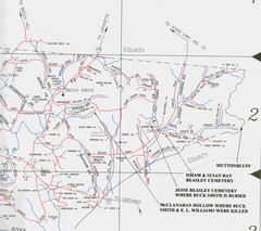
Trousdale County Muttonbluff Map
Pictured is a part of a map of Trousdale County containing the extreme northeast section. The...
350 miles away
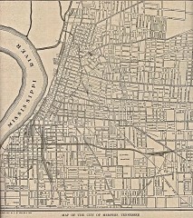
Antique map of Memphis from 1911
Antique map of Memphis, Tennessee from The New Encyclopedic Atlas and Gazetteer of the World. New...
350 miles away

Secor Metropark Map
350 miles away
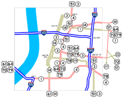
Downtown Memphis Map
Roads and freeways around Memphis.
350 miles away
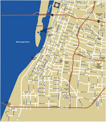
Downtown Memphis Map
350 miles away

Buck Hill Ski Area Ski Trail Map
Trail map from Buck Hill Ski Area, which provides downhill, night, and terrain park skiing. It has...
350 miles away
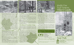
Village Creek State Park Trail Map
Trail map for hiking, bicycles and horses in Village Creek State Park.
351 miles away
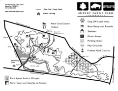
Shelby Farms Park Map
351 miles away

Potawatomi State Park Map
State Park map with marked trails and sites.
351 miles away
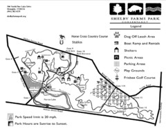
Shelby Farms Park Activities Areas Map
Visitor map of Shelby Farms Park. Shows parameters of dog areas, parking, play grounds, shelters...
352 miles away

Clifton, TN Tennessee River Map
For boating navigational information and river road travel along the Tennessee River.
352 miles away
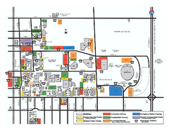
Bowling Green State University - Main Campus Map
Bowling Green State University - Main Campus Map. All buildings shown.
352 miles away
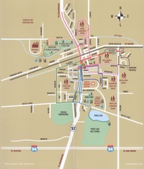
Chelsea MI Map
352 miles away
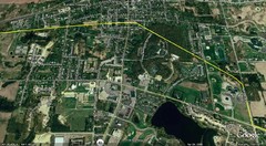
Interurban Track through Chelsea, Michigan Map
A map of the Detroit, Jackson and Chicago Railway interurban track as it went through Chelsea...
352 miles away
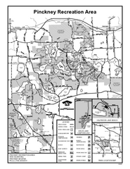
Pinckney State Park, Michigan Site Map
353 miles away
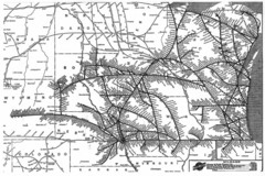
Chicago & North Western Line Railroad System...
C&NW map circa 1909
353 miles away
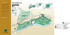
Side Cut Metropark Map
353 miles away
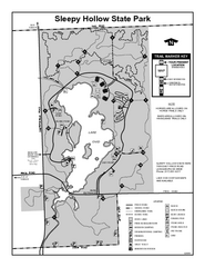
Sleepy Hollow State Park, Michigan Site Map
354 miles away


