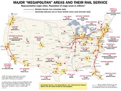
Amtrak Major Railway Map
Guide to major cities and rail lines connecting them
320 miles away
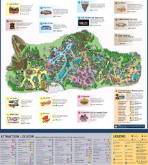
Paramount's Kings Island Map
321 miles away
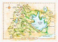
Camp Friedlander Map
321 miles away
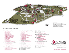
Union University Jackson Campus Map
Campus map of Union University in Jackson, Tennessee
321 miles away
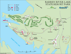
Barren River State Park map
Recreation map for Barren River Lake State Park in Kentucky
321 miles away
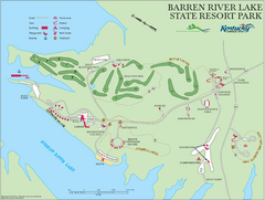
Barren River Lake State Resort Park Map
Map of facilities and golf course in Barren River Lake State Resort Park.
322 miles away
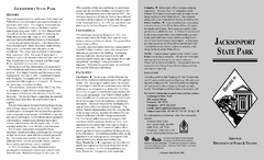
Jacksonport State Park Map
Map of Jacksonport State Park showing historical sites, trails, amenities and river access.
322 miles away

Stone House Trail Map
322 miles away
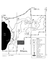
Pike Lake Map
Detailed trail map of area surrounding Pike Lake.
322 miles away
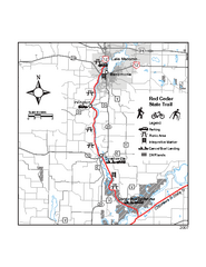
Red Cedar State Trail Map
Detailed trail map.
322 miles away
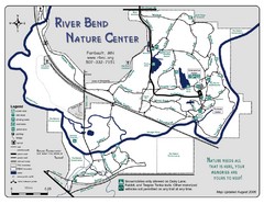
River Bend Nature Center Map
323 miles away
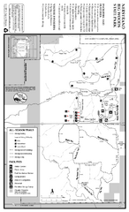
Nerstrand-Big Woods State Park Map
map of park with detail of trails and recreation zones
323 miles away
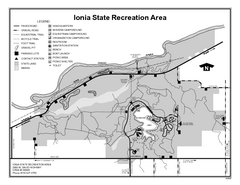
Ionia State Recreation Area, Michigan Site Map
323 miles away
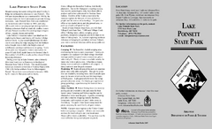
Lake Poinsett State Park Map
Map of Lake Poinsett State Park showing Great Blue Heron Trail , boat ramps and park amenities.
324 miles away
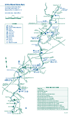
Little Miami State Park map
Detailed recreation map for Little Miami State Park and surrounding area in Ohio
326 miles away
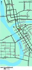
Downtown Eau Claire Eateries Map
Make sure you set aside the whole day and visit the numerous shops in Eau Claire's Downtown...
326 miles away

Sakatah Lake State Park Map
map of park with detail of trails and recreation zones
326 miles away

Fort Defiance State Park Map
Map of hiking, equestrian and cross country skiing trails and park facilities of Fort Defiance...
327 miles away
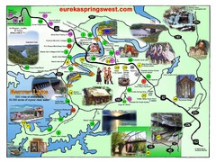
Eureka Springs West Tourist Map
Tourist map of Eureka Springs West on Beaver Lake in Eureka Springs, Arkansas. Shows points of...
327 miles away
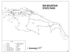
Rib Mountain State Park Map
Simple state park map with nice hiking trails.
327 miles away

Granite Peak Ski Trail Map
Trail map from Granite Peak.
328 miles away
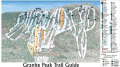
Granite Peak Ski Trail Map
Official ski trail map of Granite Peak ski area from the 2004-2005 season.
328 miles away

Welch Village Ski Area Ski Trail Map
Trail map from Welch Village Ski Area, which provides downhill, night, and terrain park skiing. It...
328 miles away
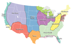
Regions of the United States Map
Appalachia- Hills, hills and more hills. Appalachian landforms contribute to landscapes of...
329 miles away
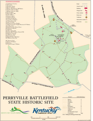
Perryville Battlefield State Historic Site Map
Map of trails and interpretive markers for the historical site of Perryville Battlefield.
331 miles away
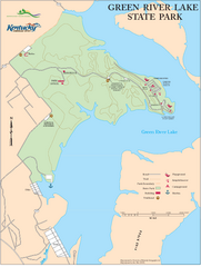
Green River Lake State Park Map
Map of trails and facilities in Green River Lake State Park.
331 miles away
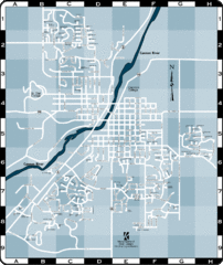
Northfield Street Map
Street map of Northfield, Minnesota
331 miles away

Chippewa Valley Trail System Map
Multiple trails and hiking routes in the Chippewa Valley.
331 miles away
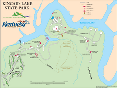
Kincaid Lake State Park Map
Map of trails, facilities and golf course in Kincaid Lake State Park.
332 miles away
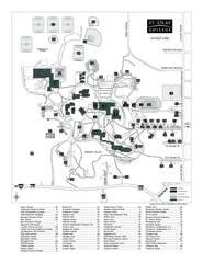
St. Olaf College Map
Campus map of St. Olaf College with index
332 miles away

St. Olaf College Map
Campus map of St. Olaf College
332 miles away
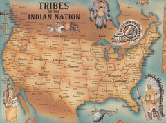
Tribes of the Indian Nation Map
Guide to the native tribes of North America
332 miles away
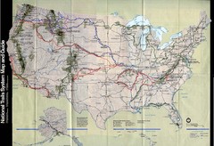
National Trails System Map
Map of all major US trail systems
332 miles away
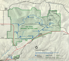
Pea Ridge National Military Park Map
332 miles away

Downtown Jackson Restaurant Map
Downtown Jackson restaurant map with many delicious locations!
332 miles away
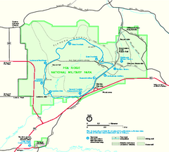
Pea Ridge National Military Park Official Map
Official NPS map of Pea Ridge National Military Park in Arkansas. The park is open year round 8-5...
333 miles away
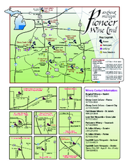
Pioneer Wine Trail Map
Tourist map of the Pioneer Wine Trail in Southeast Michigan. Shows wineries, vineyards, lodging and...
333 miles away
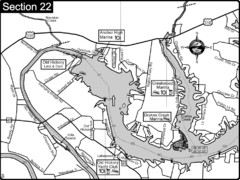
Old Hickory Lake-Cumberland River Map
Section 22 from the Cumberland River Guidebook shows the dam that forms Old Hickory Lake near...
333 miles away
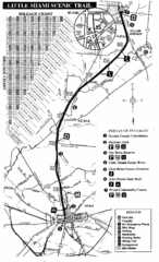
Little Miami Scenic Trail Map
Map of the Little Miami Scenic Trail biking route from Xenia, Ohio to Yellow Springs, Ohio. Shows...
333 miles away

