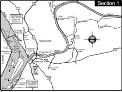
Smithland, KY Cumberland & Ohio Rivers Map
This is the mouth (end) of the Cumberland River as it pours into the Ohio River after flowing 695...
232 miles away
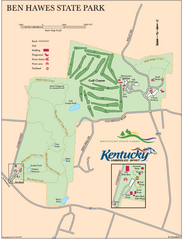
Ben Hawes State Park Map
Map of trails, facilities and golf course in Ben Hawes State Park.
232 miles away
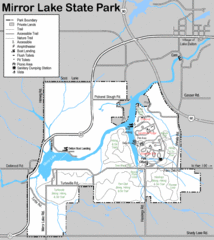
Mirror Lake State Park Map
Nice hiking routes around the lake.
233 miles away

Seven Oaks Recreation Area Ski Trail Map
Trail map from Seven Oaks Recreation Area.
233 miles away

Milwaukee Urban Water Trail Map
233 miles away
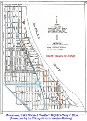
Whitefish Bay - 1926 Map
Whitefish Bay - 1926
234 miles away
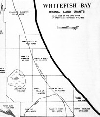
Whitefish Bay Original Land Grants 1835 Map
Whitefish Bay Original Land Grants 1835
234 miles away
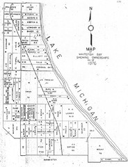
Whitefish Bay - 1876 Map
Whitefish Bay, Wisconsin - 1876 Ownership map
234 miles away
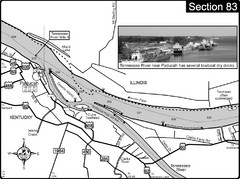
Ohio River & Tennessee River at Paducah, KY...
This is a page from the Ohio River Guidebook. The map shows important information for boaters and...
235 miles away

Christmas Mountain Village Ski Trail Map
Trail map from Christmas Mountain Village.
236 miles away
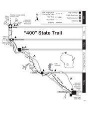
400 State Trail Map
Long and beautiful trail through Wisconsin's finest.
237 miles away
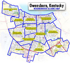
Owensboro, Kentucky City Map
237 miles away
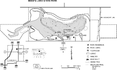
Beeds Lake State Park Map
Map showing lake depths, trails and facilities of Beeds Lake State Park.
238 miles away

Little Switzerland Back Ski Trail Map
Trail map from Little Switzerland.
238 miles away
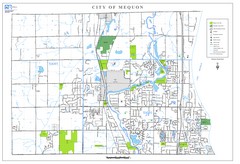
Mequon City Map
City map of Mequon, Wisconsin
239 miles away
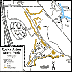
Rocky Arbor State Park Map
Detailed map of parking, water, ledges and boundaries for Rocky Arbor.
239 miles away
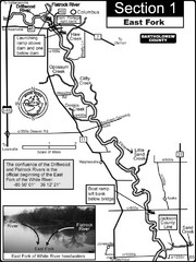
Columbus, IN White River East Fork Map
This is a page from the White River Guidebook. The map shows important information for boaters and...
239 miles away
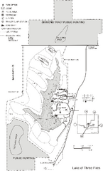
Lake of Three Fires State Park Map
Map of trails, hunting areas and lake access in Lake of Three Fires State Park.
239 miles away
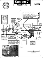
Anderson, IN & Mounds State Park Wabash River...
This is a page from the White River Guidebook. The map shows important information for boaters and...
240 miles away

Indiana Road Map
241 miles away
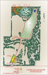
Pleasant Valley Nature Park Map
242 miles away
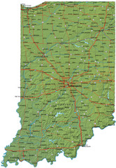
Detailed Indiana Road Map
242 miles away
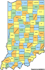
Indiana Counties Map
243 miles away
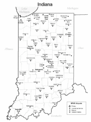
Indiana Airports Map
243 miles away
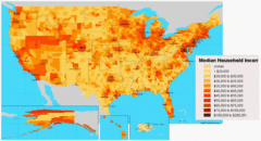
USA Income Map
States Income Inequality Map with color-coded key.
243 miles away
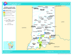
Indiana - Federal Lands and Indian Reservations...
The National Atlas of the United States of America, U.S. Geological Survey, 2003
243 miles away
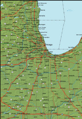
Detailed Indiana Area Road Map
244 miles away
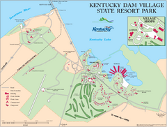
Kentucky Dam Village State Resort Park Map
Map of golf course and facilities for Kentucky Dam Village State Resort Park, one of three state...
244 miles away
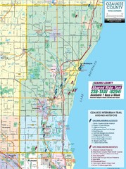
Ozaukee County Interurban Trail Map
Map of on and off trail key birding spots
245 miles away
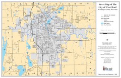
West Bend Street Map
Street map of city of West Bend, Wisconsin.
245 miles away
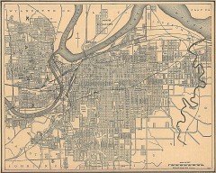
Antique map of Kansas City from 1907
Antique Map of Kansas City From The New Encyclopedic Atlas and Gazetteer of the World, Edited by...
246 miles away
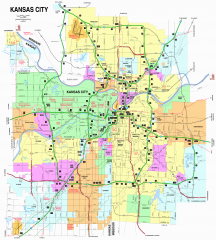
Kansas City Road map
Road map of Kansas City (both Missouri and Kansas). Shows major roads, interstate exit numbers,
246 miles away

Kansas City, Missouri City Map
246 miles away

Area around Kansas City Road Map
The areas and roads around Kansas City, Missouri
246 miles away
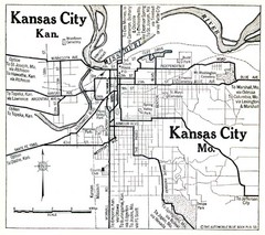
Kansas City The Automobile Blue Book 1920 Map
247 miles away
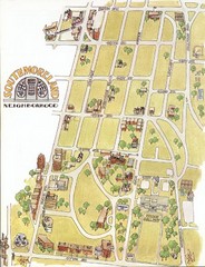
Southmoreland, Kansas City Tourist Map
247 miles away
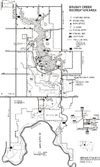
Brushy Creek State Park Map
Map of hiking, biking and equestrian trails, lake depths and park facilities in Brushy Creek State...
248 miles away
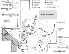
Springbrook State Park Map
Map of trails, hunting and fishing areas, and park facilities in Springbrook State Park.
248 miles away
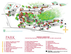
Park University Map
Campus map of Park University. With campus directory.
249 miles away
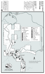
Beaver Creek Valley State Park Map
Map of park with detail of trails and recreation zones
249 miles away

