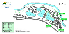
Island Acres State Park Map
Map of island acres section of the James M Robb Colorado River State Park
241 miles away
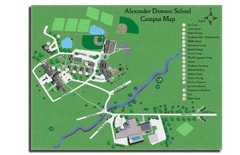
Alexander Dawson School Map
Campus map
242 miles away
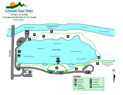
Corn Lake State Park Map
Map of corn lake section of the James M Robb Colorado River State Park
242 miles away
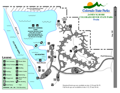
Fruita Area State Park Map
Map of fruita section of the James M Robb Colorado River State Park
243 miles away
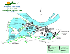
Connected Lakes State Park Map
Map of connected lakes section of the James M Robb Colorado River State Park
243 miles away
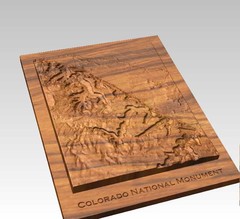
Colorado National Monument carved by CarvedMaps...
Colorado National Monument near Grand Junction, CO. was carved by CarvedMaps.com They can carve...
245 miles away
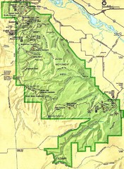
Colorado National Monument Map
246 miles away
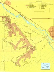
Colorado National Monument Map
Map of Colorado National Monument and surrounding areas.
246 miles away
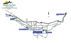
James M Robb Colorado River State Park Map
Overview map of park along lake
246 miles away
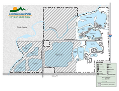
St. Vrain State Park Map
Map of park with detail of recreation zones
249 miles away
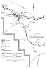
Capitol Reef Trail Map
Hiking trails near Fruita, Colorado
252 miles away
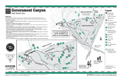
Government Canyon, Texas State Park Facility and...
255 miles away
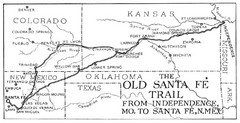
The Old Santa Fe Trail Map
260 miles away
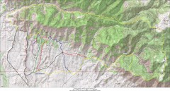
Fruita 18 Road Trail Map
Mountain biking trail map of the 18 Road area in Fruita, CO including Chutes & Ladders, Zipity...
260 miles away
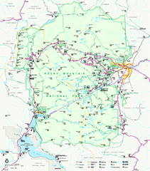
Rocky Mountain National Park Official Map
Rocky Mountain National Park Official Map. Shows all roads, trails, rivers, and mountain summits.
260 miles away
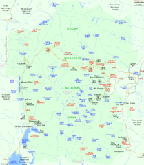
Rocky Mountain National Park Tourist Map
261 miles away
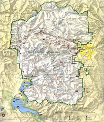
Rocky Mountain National Park Map
Rocky Mountain National Park Map and surrounding National Forests of Arapaho and Roosevelt.
262 miles away
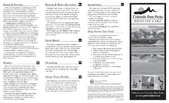
Highline Lake State Park Map
Map of park with detail of recreation areas
263 miles away
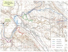
Moab Mountain Unicycling Festival Trail Map
Moab Area Topo Map with trails marked for festival
264 miles away
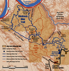
Slickrock Trail Map
Trail map of the famous Slickrock mountain biking trail in Moab, Utah. Trail distances shown. 10...
264 miles away
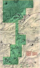
Petrified Forest National Park Map
Petrified Forest National Park Map with trails, vistiors centers and park area marked.
265 miles away
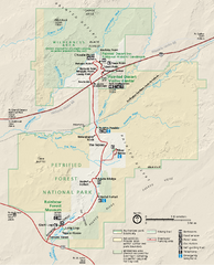
Petrified Forest National Park Official Park Map
Official NPS map of Petrified Forest National Park in Arizona. Open year round except Christmas...
265 miles away
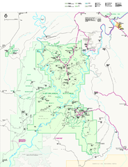
Canyonlands National Park Official Park Map
Official NPS map of Canyonlands National Park. Located in Utah. Map shows all areas but does not...
267 miles away
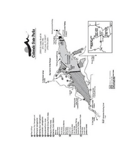
Stagecoach State Park Map
Map of park with detail of campgrounds and recreation zones
267 miles away
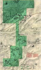
Petrified Forest Map
Map of the Petrified Forest, Painted Desert and Rainbow Forest. Shows all roads, tourist...
267 miles away
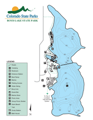
Boyd Lake State Park Map
Map of park with detail of recreation ares
267 miles away
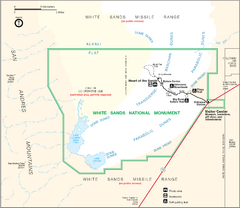
White Sands National Monument Map
268 miles away
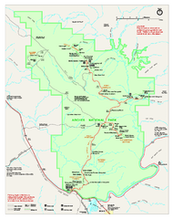
Arches National Park Official map
Official NPS park map of Arches National Park. Shows trails, roads, and all park facilities.
269 miles away
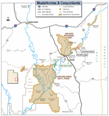
Canyonlands National Park Map
Clear map and key marking cities, rivers, highways and points of interest.
270 miles away
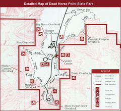
Dead Horse Point State Park Map
270 miles away
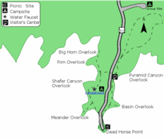
Dead Horse Point State Park Map
Stroll along the Rim Walk, towering 2,000 feet directly above the Colorado River. The mesa that is...
270 miles away

Arches National Park Map
270 miles away
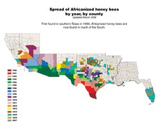
US African Honey Bee Map
Map of the US spread of Africanized honey bees by year, by county, from 1990 to 2007.
271 miles away
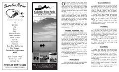
Jackson Lake State Park Map
Map of park with detail of recreation areas
274 miles away
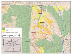
North Park Colorado Map
274 miles away
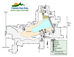
Bonny Lake State Park Map
Map of park with detail of recreation areas
275 miles away
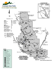
State Forest State Park Map
Map of park with detail of trails and recreation zones
275 miles away
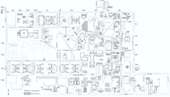
Colorado State University Map
Campus Map of Colorado State University. All area's shown.
276 miles away

Fort Collins, Colorado City Map
277 miles away

