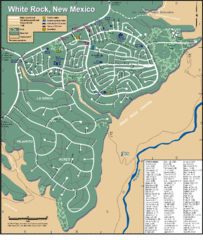
White Rock Road Map
Large and detailed map marking points of interest and roads.
161 miles away
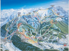
Telluride ski trail map
Official ski trail map of Telluride ski area from the 2006-2007 season.
161 miles away
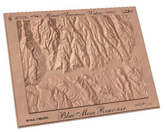
Blue Mesa Reservoir by Carvedmaps.com Map
Blue Mesa Reservoir carved by carvedmaps.com - Tom Justin artist
161 miles away
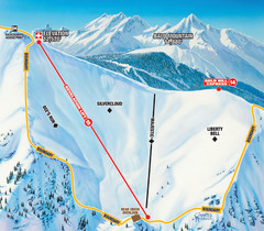
Telluride Revelation Bowl Ski Trail Map
Trail map from Telluride, which provides downhill, nordic, and terrain park skiing. It has 18 lifts...
161 miles away
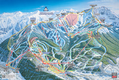
Telluride Ski Trail Map
Trail map from Telluride, which provides downhill, nordic, and terrain park skiing. It has 18 lifts...
161 miles away
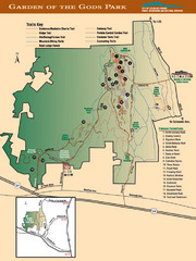
Garden of the Gods Park Map
162 miles away
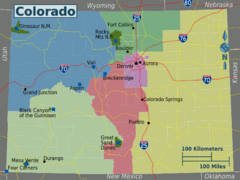
Colorado Region Map
162 miles away
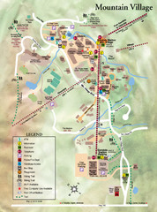
Mountain Village Tourist Map
Tourist map of Mountain Village, Colorado at the Telluride Ski Area.
162 miles away
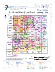
Index of BLM Maps for NM Hunting Units Map
This handy index shows the BLM surface management (land ownership) maps you need for all the...
163 miles away
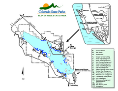
Eleven Mile State Park Map
Map of park with detail of campground zones
163 miles away
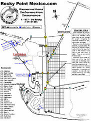
Rocky Point, New Mexico Tourist Map
164 miles away

University of Colorado at Colorado Springs Map
164 miles away
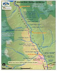
Arkansas River Numbers and Narrows Rafting Map
Rafting map of the Numbers and Narrows rapids sections of the Arkansas River near Buena Vista...
165 miles away
Waldo Canyon Fire Area Map
165 miles away
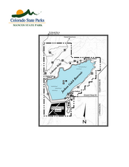
Mancos State Park Map
Map of park with detail of recreation zones
166 miles away
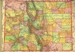
Colorado State map 1895
Map of the state of Colorado, 1895. Shows counties and major topography.
167 miles away
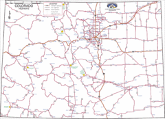
Colorado Highways Map
Road map of highways in state of Colorado
167 miles away
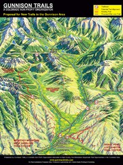
Gunnison Proposed Trails Map
Shows proposed trails from Gunnison, Colorado to Crested Butte, Colorado
168 miles away
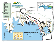
John Martin State Park Map
Map of park with detail of recreation zones
169 miles away
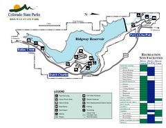
Ridgway State Park Map
Map of park with detail of recreation zones
169 miles away
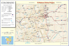
Colorado Cities Map
170 miles away
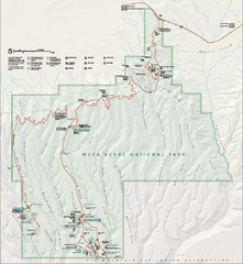
Mesa Verde National Park Official Park Map
Official NPS map of Mesa Verde National Park in Colorado. Mesa Verde National Park is open year...
172 miles away
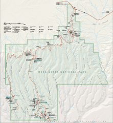
Mesa Verde National Park Official Park Map
Official NPS map of Mesa Verde National Park in Colorado. MESA VERDE NATIONAL PARK IS OPEN DAILY...
173 miles away
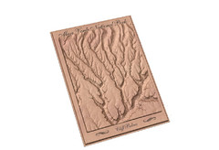
Mesa Verde carved by carvedmaps.com Map
Carved map of Mesa Verde in Colorado by carvedmaps.com
173 miles away
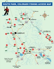
South Park,Colorado Fishing Map
174 miles away
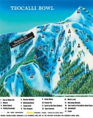
Crested Butte Mountain Resort Ski map - Teocalli...
Inset of the official Crested Butte trail map showing the experts-only Teocalli Bowl.
179 miles away
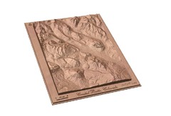
Carved Wooden Map of Crested Butte, Colorado by...
Crested Butte, CO Carved by CarvedMaps.com
179 miles away
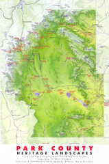
Park County Heritage Map
Shaded relief map of Park County, Colorado shows heritage landscapes, mountains, and
179 miles away
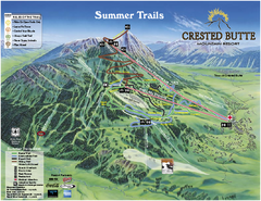
Crested Butte Mountain Resort Summer Trail Map
Official Crested Butte Mountain Resort summer trail map. Created by James Niehues.
180 miles away
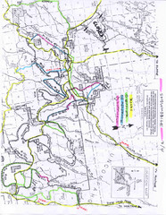
Uncompahgre National Forest Map
National Forest in Western Colorado
180 miles away
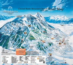
Crested Butte Mountain Resort Ski Trail Map
Official trail map of Crested Butte Mountain Resort, 2006-07 season.
180 miles away
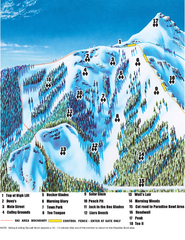
Crested Butte Mountain Resort Teocalli Bowl Ski...
Trail map from Crested Butte Mountain Resort, which provides downhill, nordic, and terrain park...
180 miles away
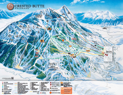
Crested Butte Mountain Resort Ski Trail Map
Trail map from Crested Butte Mountain Resort, which provides downhill, nordic, and terrain park...
180 miles away

The Greenland Trail Map
181 miles away

Spruce Meadows Map
181 miles away
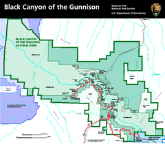
Black Canyon of the Gunnison National Park Map
Official NPS map of Black Canyon of the Gunnison in Colorado. Shows all areas including the South...
182 miles away
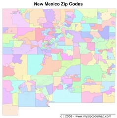
New Mexico Zip Codes Map
182 miles away
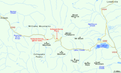
Independence Pass Area, Colorado Map
Basic map of the Independence Pass area near Aspen, Colorado. Independence Pass is the highest...
185 miles away
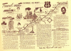
Route 66 Stops Between Shamrock, Texas and Los...
Route 66 Landmarks
186 miles away

