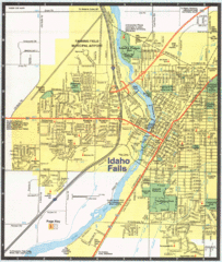
Idaho Falls, Idaho City Map
591 miles away

Hill Country State Natural Area Trail Map
593 miles away
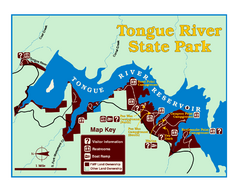
Tongue River Reservoir State Park Map
The 12-mile long reservoir is situated among scenic red shale, juniper canyons, and the open...
595 miles away
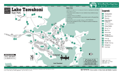
Lake Tawakoni, Texas State Park Facility and...
595 miles away
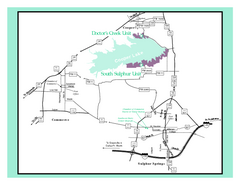
Cooper Lake, Texas State Park Map
595 miles away
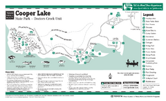
Cooper Lake (Doctors Creek Unit", Texas...
595 miles away

South Dakota Map
596 miles away
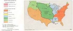
Territorial Expansion in Eastern United States...
596 miles away
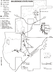
Waubonsie State Park Map
Map of trails and park facilities in Waubonsie State Park.
598 miles away
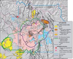
Yellowstone Geologic Map
Guide to geology, volcanic and earthquake activity and caldera outlines in Yellowstone National Park
598 miles away
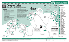
Cooper Lake "South Sulphur Unit", Texas...
599 miles away
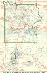
1929 Yellowstone and Grand Teton National Parks...
Map of older smaller boundaries of both national parks
600 miles away
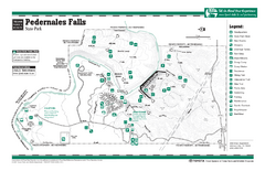
Pedernales Falls, Texas State Park Facility Map
601 miles away
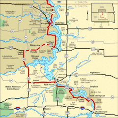
Native American Scenic Byway, South Dakota...
602 miles away
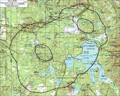
Yellowstone Lake Topographic Map
Topographic guide to Yellowstone Lake in Yellowstone National Park
602 miles away
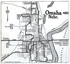
Omaha Nebraska 1920 Map
602 miles away
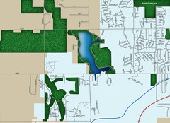
Southwest Olathe Map
Street map of southwest Olathe, Kansas. Shows green spaces.
603 miles away
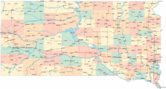
South Dakota Road Map
604 miles away
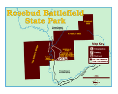
Rosebud Battlefield State Park Map
This National Historic Landmark on the rolling prairie of eastern Montana preserves the site of the...
604 miles away
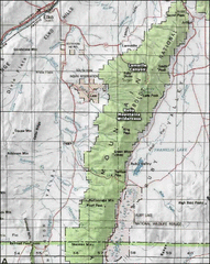
Ruby Mountains Wilderness Map
Overview map of Ruby Mountains Wilderness and Lamoille Canyon
604 miles away

Snow Creek Ski Trail Map
Trail map from Snow Creek.
604 miles away
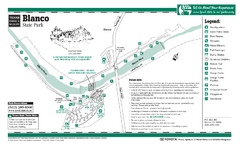
Blanco, Texas State Park Map
605 miles away
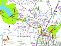
Hiking and Biking Trails, Georgetown, Texas Map
Map of hiking and biking trails in Georgetown, Texas. Also shows parks in the area.
606 miles away
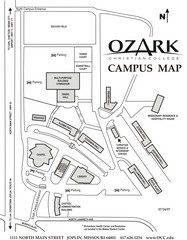
Ozark Christian College Map
606 miles away
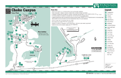
Choke Canyon, Texas State Park Facility Map
606 miles away
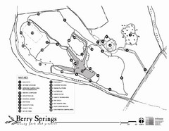
Berry Springs Trail Map
607 miles away
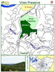
Vireo Preserve Map
608 miles away
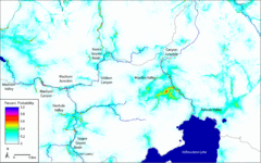
Bison Travel in Yellowstone National Park Map
General bison travel in Yellowstone National Forest, Wyoming
608 miles away

Metropolis Nevada Ghost Town Map
608 miles away
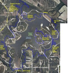
Psycho Psummer Run (Past Course) Map
609 miles away
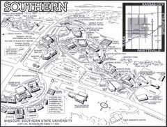
Missouri Southern State University Map
Campus Map
609 miles away
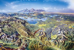
Yellowstone oblique Map
Oblique Panorama map of Yellowstone National Park
609 miles away

Wilson Island State Recreation Area Map
Map of trails, boat ramps and park facilities in Wilson Island State Recreation Area.
610 miles away
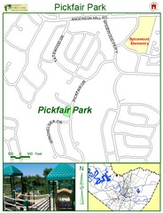
Pickfair Park Map
611 miles away

Northwest Balcones Map
613 miles away
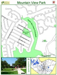
Mountain View Park Map
613 miles away
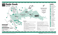
Purtis Creek, Texas State Park Facility and Trail...
613 miles away

Tanglewood Park Map
613 miles away

