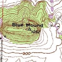
Mont Bleau Ski Trail Map
Trail map from Mont Bleau. This ski area opened in 1965/66.
470 miles away
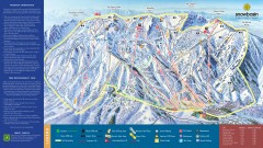
Snowbasin Ski Trail Map
Official ski trail map of ski area from the 2007-2008 season.
470 miles away

Snowbasin Nordic Trail Map
Nordic trail map of Snowbasin resort, Utah
470 miles away
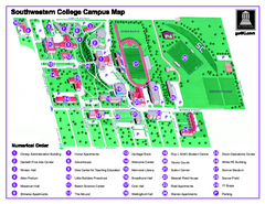
Southwestern College Campus Map
Southwestern College Campus Map. Shows all buildings.
470 miles away
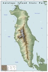
Antelope Island State Park Map
Shaded relief map of Antelope Island State Park, Utah. Shows facilities, peaks, and springs...
473 miles away
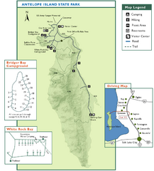
Antelope Island State Park Map
Trail map of Antelope Island State Park in the Great Salt Lake, Utah. Shows campgrounds.
473 miles away
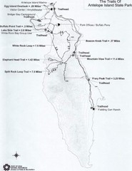
Antelope Island State Park Map
Antelope Island State Park, the largest island in the Great Salt Lake, is home to a roaming herd of...
474 miles away

Wolf Mountain Ski Trail Map
Trail map from Wolf Mountain.
474 miles away

Kitt Peak National Observatory Map
475 miles away
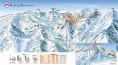
Powder Mountain Ski Trail Map
Official ski trail map of Powder Mountain ski area from the 2007-2008 season.
475 miles away
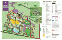
Weber State University Map
Weber State University Campus Map. All buildings shown.
475 miles away
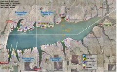
Winfield City Lake Map
Recreation map of Winfield City Lake in Winfield, Kansas. Named Timber Creek Lake. Shows camping...
477 miles away
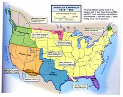
American Expansion 1818-1853 Map
Shows the four major steps through which the US gained most of it's western land between 1818...
477 miles away
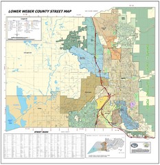
Lower Weber County Street Map
Street map for area around Ogden, UT
477 miles away

Utah mountain resorts Map
477 miles away
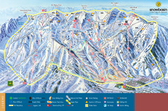
Snowbasin Mountain Trail Map
Ski trail map of Snowbasin Mountain
477 miles away
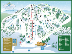
Pine Creek Ski Area Ski Trail Map
Trail map from Pine Creek Ski Area.
478 miles away
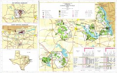
Texas National Forests & Grasslands Map
US Forest Service Pocket Guide to National Forests and Grasslands in Texas. National Forests...
479 miles away
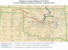
Oklahoma County Map
481 miles away
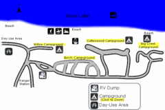
Rendezvous Beach Map
Bear Lake State Park is nestled high in the Rocky Mountains on the Utah-Idaho border. The cool...
482 miles away
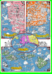
A MAD Pictorial Map of the United States - Back...
I found these raw assembled scans in a dieing torrent in 2010. Hash code...
484 miles away
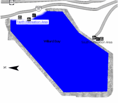
Willard Bay State Park Map
Boat, swim, waterski, and fish on the warm waters of Willard Bay. Camp under tall cottonwood trees...
485 miles away
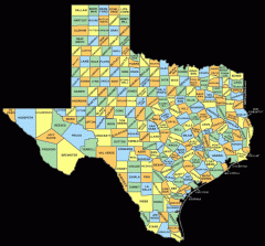
Texas County map
Map shows names of all counties in Texas
485 miles away
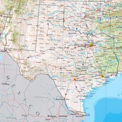
Texas Physical Map
Physical map of state of Texas with shaded relief
485 miles away
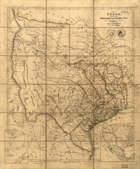
Republic of Texas Map 1841
A map of Texas compiled from surveys recorded in the Land Office of Texas. The map shows the...
485 miles away
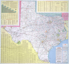
Texas Road Map
Official Texas DOT highway map. A bit blurry.
485 miles away
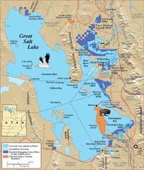
Great Salt Lake Map
486 miles away

Boysen State Park Map
486 miles away
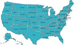
United States Map
487 miles away
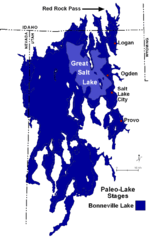
Lake Bonneville Levels Map
488 miles away
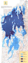
Ancient Lake Bonneville Map
488 miles away
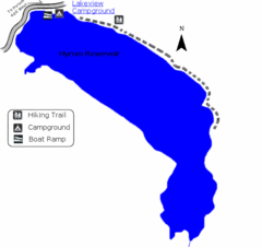
Hyrum State Park Map
Tucked away in Cache County, Hyrum State Park offers many recreation opportunities including...
489 miles away
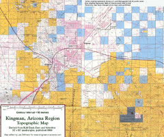
Kingman, Arizona Region Topographic Map
Elevation in qauadrangles for the Kingman, Arizona area
490 miles away
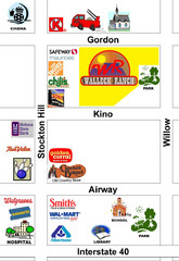
Walleck Ranch Area, Kingman Arizona Map
490 miles away
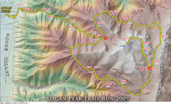
Logan Peak Trail Run Map 2009
Trail run map of the Logan Peak Trail Run 2009 course.
490 miles away

Saint Jo City Map
City map of Saint Jo, Texas
491 miles away
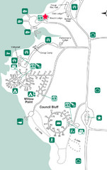
Lake Brownwood State Park Map
491 miles away
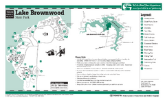
Lake Brownwood, Texas State Park Facility...
492 miles away

Wind Cave Tour Routes Detail Map
Shows the following tour routes: Natural Entrance Tour, Garden Eden Tour, Fairgrounds Tour, and...
494 miles away


