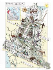
Solitude Mountain Resort Ski Trail Map
Trail map from Solitude Mountain Resort.
434 miles away
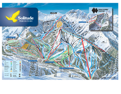
Solitude Ski Trail Map
Official ski trail map of Solitude Mountain Resort ski area from the 2007-2008 season.
434 miles away
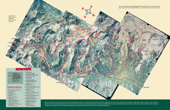
Snowbird/Alta area Summer Mountain Biking/Hiking...
Map showing all hiking and mountain biking trails in the Alta/Snowbird area.
434 miles away
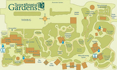
Tucson Botanical Gardens Map
Very nice botanical garden with great native plant sales.
434 miles away
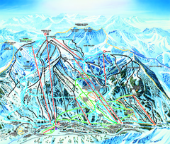
Snowbird Ski Trail map
Official ski trail map of Snowbird ski area from the 2006-2007 season.
434 miles away
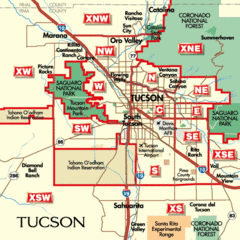
Tucson, Arizona City Map
434 miles away
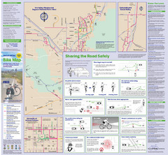
Tuscon Metro Bike Map (Back)
434 miles away
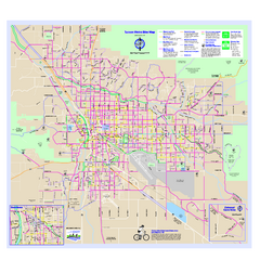
Tucson Metro Bike Map
Bike route map of the city of Tucson, Arizona.
434 miles away
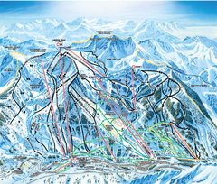
Snowbird Ski and Summer Resort Ski Trail Map
Trail map from Snowbird Ski and Summer Resort.
435 miles away
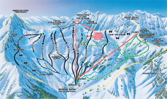
Snowbird Ski and Summer Resort Mineral Basin Ski...
Trail map from Snowbird Ski and Summer Resort.
435 miles away
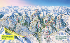
The Canyons Ski Trail Map
Trail map from The Canyons.
435 miles away
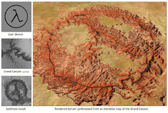
Rendered Terrain of the Grand Canyon Map
Created from Digital Elevation Models
435 miles away
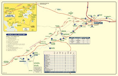
Casper, Wyoming City Map
435 miles away
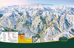
The Canyons Ski Trail Map
Official ski trail map of The Canyons ski area from the 2007-2008 season.
435 miles away
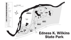
Edness Kimball Wilkins State Park Map
Edness K. Wilkins State Park is a serene day-use park located 6 miles east of Casper off Interstate...
436 miles away
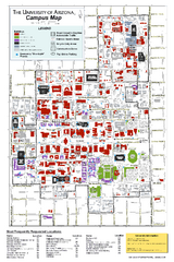
University of Arizona Campus Map
Campus map of the University of Arizona. All buildings shown.
436 miles away

Alta Ski Trail Map
436 miles away
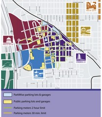
Tuscon Map
Parking garages, lots, and meters in Tuscon.
436 miles away
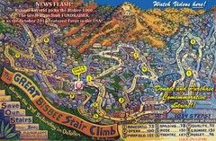
Bisbee, AZ Stairclimb 2010 Map
5K race map. This map does not do the website justice. Definitely a must-see.
438 miles away
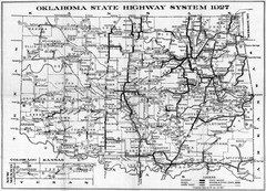
Oklahoma State Highway Map
Highway Map of Oklahoma State circa 1927. Includes all main roads and highways up to state...
438 miles away
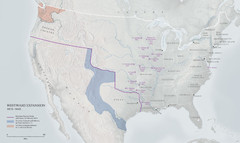
United States, Westward Expansion Map
438 miles away
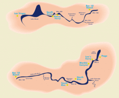
Grand Canyon River Rafting Map
Guide to the Colorado River, Grand Canyon river rafting
439 miles away

University Of Phoenix Stadium Map
One of the most amazing stadiums, with the first fully retractable natural grass playing surface...
440 miles away
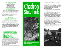
Chadron State Park Map
The majestic beauty of the Pine Ridge forms the backdrop for this great, get away from it all state...
440 miles away
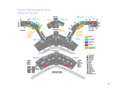
Tucson International Airport Terminal Map
Official Map of Tucson International Airport. Shows all terminals.
440 miles away
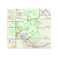
Saguaro National Park Official Park Map
Official NPS map of Saguaro National Park in Arizona. Map shows all areas. Both districts of the...
441 miles away

Snowbird Trail Map
Ski trail map
442 miles away
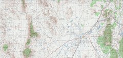
Delta Quad Sheet Detail 1972 Map
443 miles away
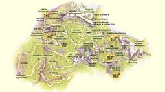
Arizona-Sonora Desert Museum Map
443 miles away

Wasatch Front Watershed Map
443 miles away
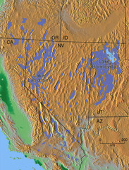
Pleisocene Lakes of western U.S. Map
444 miles away

Light Rail Route Map
Map of Light Rail system throughout Sierra Vista
444 miles away
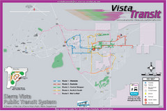
Sierra Vista Transit Route Map
Route Map of Sierra Vista Transit Bus System. Includes all transit routes, bus stops, streets...
444 miles away

Geological Map of the San Pedro River
This is a map of the San Pedro River valley up to where it joins the Gila.
445 miles away
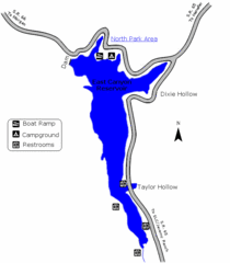
East Canyon State Park Map
East Canyon State Park is a 680-acre boating and year-round fishing delight nestled in the...
446 miles away
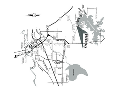
Lake Arrowhead, Texas State Park Location Map
447 miles away
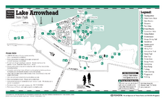
Lake Arrowhead, Texas State Park Facility and...
447 miles away
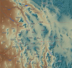
US and Mexico Sky Islands Map
Madrean Sky Islands of the U.S. and Mexico
447 miles away
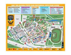
Oklahoma State Fair Park Map
Map of the Centennial Expo Park of the Oklahoma State Fair in The State Fair is spread out over...
447 miles away

