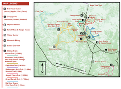
Kodachrome Basin State Park Map
Trail map of Kodachrome Basin State Park, Utah. Shows hiking trails and park facilities.
367 miles away
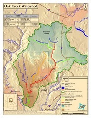
Oak Creek Watershed Map
Colorful Map of Oak Creek Watershed. Includes detailed information about the watershed, roads...
368 miles away
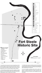
Fort Fred Steele State Historic Site Map
This frontier Army post has a fascinating history interlacing transportation with the military and...
368 miles away
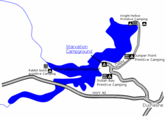
Starvation State Park Map
The sprawling waters of Starvation Reservoir offer great fishing and boating. Find a secluded...
369 miles away

Theodore Roosevelt Lake Recreation Sites Map
Multiple camping, hiking, climbing and road sites.
369 miles away
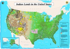
Indian Lands Map
Map of Indian Lands throughout the US
371 miles away
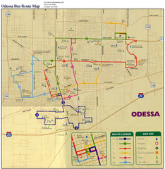
Odessa Bus Route Map
City of Odessa, Texas Bus Map with street level detail.
371 miles away
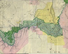
Grand Canyon National Park Map
Grand Canyon National Park including Kaibab National Forest and Coconino Plateau
371 miles away
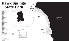
Hawk Springs State Park Map
Hawk Springs Recreation Area has activities for everyone to enjoy: boating, waterskiing, fishing...
372 miles away
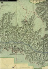
Grand Canyon National Park Map
372 miles away
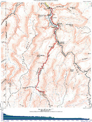
Grand Canyon Havasupai Campground Map
The Grand Canyon Havasupai Campground Map
372 miles away
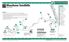
Monahans-Sandhills, Texas State Park Facility and...
373 miles away
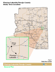
Arizona Highway Map
374 miles away
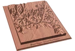
North Rim of the Grand Canyon carved by...
Grand Canyon carved by CarvedMaps.com. They specialize in hard wood carved maps of anywhere within...
374 miles away
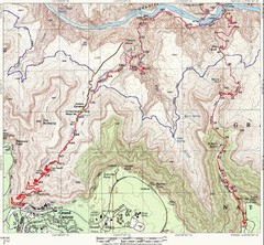
Grand Canyon Hiking Trail Map
Topo map of the Grand Canyon with a loop hike down the South Kaibab Trail and up Bright Angel Trail...
374 miles away
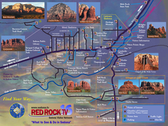
Sedona Tourist Map
Tourist map of Sedona, AZ. Shows points of interest and photos of local red rock formations and...
374 miles away
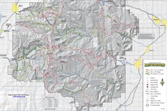
Utha Arapeen OHV Trail System- South Map
Utah Arapeen OHV Trail System map. Located near the towns of Fairview, Ephraim, and Manti, Utah.
375 miles away
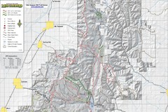
Utah Arapeen OHV Trail System- North Map
The Utah Arapeen OHV Trail System located in near the Towns of Fairview, Ephraim, and Mant, Utah.
375 miles away
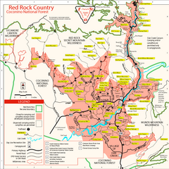
Red Rock County Trail Map
Trail map of trails of Red Rock County, AZ around Sedona, AZ. Shows trailheads and trail names.
376 miles away
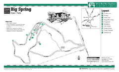
Big Spring, Texas State Park Map
376 miles away
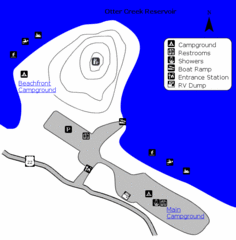
Otter Creek Reservoir Map
This quiet getaway is a great destination for ATV riders, boaters, and birders. Access three ATV...
376 miles away

Bryce Canyon Official Park Map
Official NPS map of Bryce Canyon National Park in Utah. Map shows all areas. The park is open 24...
377 miles away
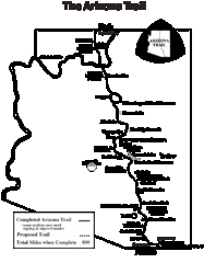
Arizona Trail Progress Map
Basic outline map of Arizona Trail. Other Maps available through BLM. There are links at the...
377 miles away
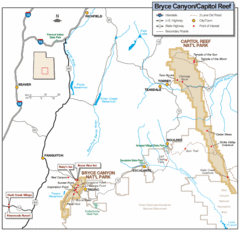
Bryce Canyon National Park Map
Roads, highways, rivers and points of interest are clearly marked on this simple map.
378 miles away
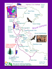
Bryce Canyon National Park Trails Map
378 miles away

Bryce Canyon National Park Map
378 miles away
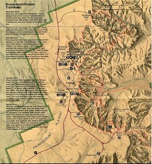
Brycec Canyon National Park Map
378 miles away
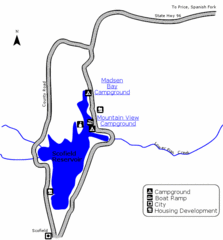
Scofield State Park Map
Camp, boat, and fish at this summer and winter recreation destination situated high in the Manti...
381 miles away
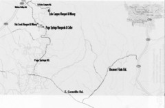
Central Arizona Wineries Map
383 miles away
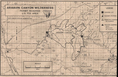
Aravaipa Canyon Map
Map of Aravaipa Canyon Wilderness
386 miles away
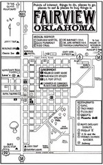
Fairview City Map
City map of Fairview with restaurants, government offices, medical services and hotels
389 miles away
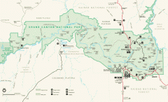
Grand Canyon National Park map
Official map of Grand Canyon National Park. Currently not available on the NPS website
389 miles away
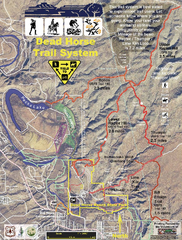
Dead Horse Trail System Map
Trail map of area surrounding Dead Horse State Park in Clarkdale, Arizona
389 miles away
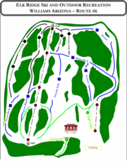
Elk Ridge Ski Trail Map
Trail map from Elk Ridge, which provides downhill skiing. It has 2 lifts servicing 7 runs; the...
389 miles away
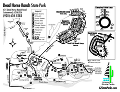
Dead Horse Ranch State Park Map
Map of park with detail of trails and recreation zones
390 miles away
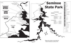
Seminoe State Park Map
Seminoe State Park offers excellent fishing, boating and wildlife-viewing opportunities.
390 miles away
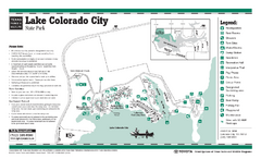
Lake Colorado City, Texas State Park Facility...
391 miles away

