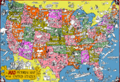
Mad Magazine USA Map
Detailed comedic drawings overlaid on a huge map of the US.
440 miles away
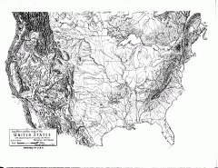
US Map - Landform Outline
Hand-drawn map of the US shows landforms (mountains and rivers) with amazing detail. Map created...
440 miles away
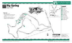
Big Spring, Texas State Park Map
441 miles away
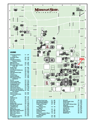
Missouri State University Map
Missouri State University Campus Map. All buildings shown.
442 miles away
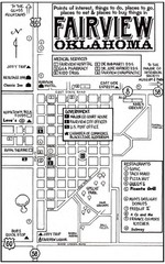
Fairview City Map
City map of Fairview with restaurants, government offices, medical services and hotels
449 miles away
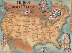
Tribes of the Indian Nation Map
Guide to the native tribes of North America
449 miles away
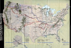
National Trails System Map
Map of all major US trail systems
449 miles away
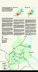
Shiloh National Military Park Official Park Map
Official NPS map of Shiloh National Military Park in Tennessee. The park is open every day except...
449 miles away
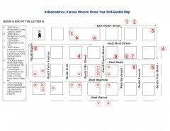
Walking tour of Historic Independence Map
Self-guided walking tour map of Historic Independence, Kansas. Shows historic housing in the...
449 miles away
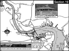
Pickwick Lake Tennessee River Map
For boating navigational information and river road travel along the Tennessee River. This map...
452 miles away
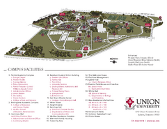
Union University Jackson Campus Map
Campus map of Union University in Jackson, Tennessee
454 miles away
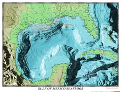
Gulf of Mexico sea floor Map
458 miles away
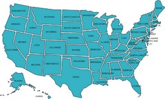
United States Map
459 miles away
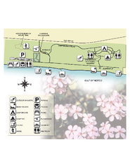
Henderson State Park Map
Map of park with detail of trails and recreation zones
461 miles away
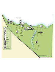
Fred Gannon Rocky Bayou State Park Map
Map of park with detail of trails and recreation zones
461 miles away
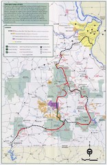
Ozark Trail Map
461 miles away

Heritage Acres RV Park Map
Map of Heritage Acres RV Park in Tuscumbia, Alabama showing lots and roos. Rows are named after...
462 miles away
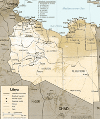
Lybia Map
Clear map and legend of this African Nation.
462 miles away
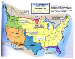
American Expansion 1818-1853 Map
Shows the four major steps through which the US gained most of it's western land between 1818...
463 miles away
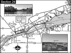
Florence, AL Tennessee River Map
For boating navigational information and river road travel along the Tennessee River. This map...
465 miles away
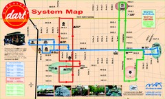
UAB and Area 5 Dart Sysetm Map
468 miles away
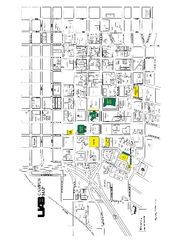
University of Alabama at Birmingham Map
University of Alabama at Birmingham Campus Map. All buildings shown.
468 miles away
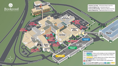
Brookwood Medical Center Map
469 miles away
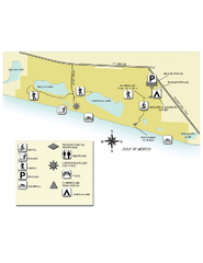
Topsail Hill Preserve State Park Map
Map of park with detail of recreation zones
470 miles away
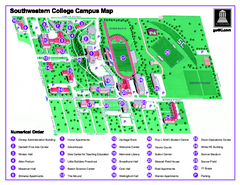
Southwestern College Campus Map
Southwestern College Campus Map. Shows all buildings.
471 miles away

Clifton, TN Tennessee River Map
For boating navigational information and river road travel along the Tennessee River.
474 miles away
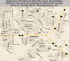
Montgomery, Alabama City Map
475 miles away
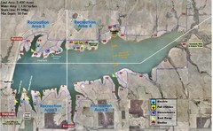
Winfield City Lake Map
Recreation map of Winfield City Lake in Winfield, Kansas. Named Timber Creek Lake. Shows camping...
476 miles away
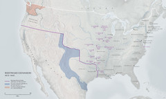
United States, Westward Expansion Map
477 miles away
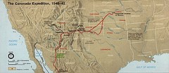
The Coronado Expedition 1540-1542 Historical Map
478 miles away
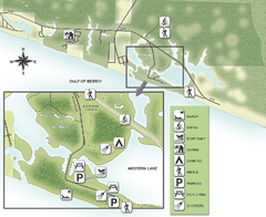
Grayton Beach State Park Map
Map of park with detail of trails and recreation zones
479 miles away
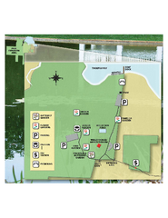
Eden Gardens State Park Map
Map of park with detail of gardens
480 miles away
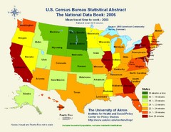
United States Travel Time to Work Statistical Map
482 miles away
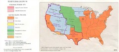
Territorial Expansion in Eastern United States...
484 miles away
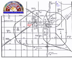
Lubbock City Map
City map of Lubbock, Texas
487 miles away
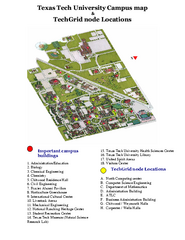
Texas Tech University Map
Campus Map of Texas Tech University. All buildings shown.
488 miles away
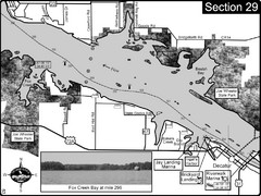
Decatur, AL Tennessee River/Wheeler Lake Map
For boating navigational information and river road travel along the Tennessee River. This section...
489 miles away

