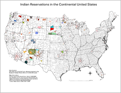
Indian Reservations in the Continental United...
Shows the location of Federal Indian Reservations in the continental United States
321 miles away
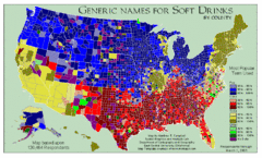
Pop vs Soda US Map
Shows most common names for soft drinks in the US by county. Based on 120,464 respondants.
321 miles away
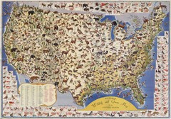
US Wildlife Map
Pictorial map of wildlife and game in the US.
321 miles away
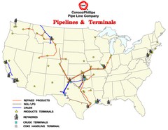
ConocoPhillips Pipelines & Terminals Map
Shows US pipelines & terminals for ConocoPhillips
321 miles away
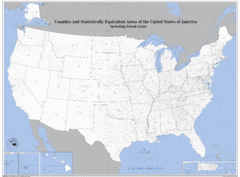
United States County Map
County map of the US
321 miles away
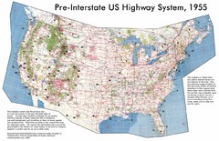
Pre-Interstate US Highway System Map
United States route and highway system pre-interstates, 1955
321 miles away
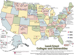
US College and University Land Grant Map
Shows land grants for US colleges and universities from 1862, 1890, and 1994
321 miles away
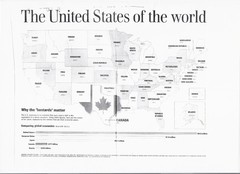
US GDP World Map
Labels each state in the US with the equivalent country in terms of GDP. Scanned.
321 miles away
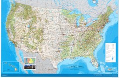
United States Map
Physical relief wall map of the United States.
321 miles away
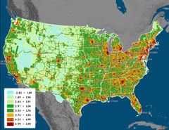
US Carbon Footprint Map
Shows the complete Vulcan Project CO2 emissions (all sectors - those presented in the first three...
321 miles away
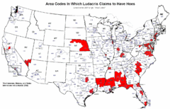
Ludacris' Hoes In Different Area Codes Map
Shows area codes in which rap star Ludacris claims to have hoes from his 2001 single "Area...
321 miles away
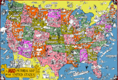
Mad Magazine USA Map
Detailed comedic drawings overlaid on a huge map of the US.
321 miles away
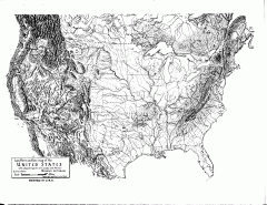
US Map - Landform Outline
Hand-drawn map of the US shows landforms (mountains and rivers) with amazing detail. Map created...
321 miles away
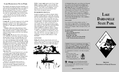
Lake Dardanelle State Park Map
Map of Lake Dardanelle State Park showing park sites, trails and amenities.
322 miles away
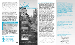
Mount Nebo State Park Trail Map
Trail Map of Mount Nebo State Park showing hiking trails and park amenities.
322 miles away
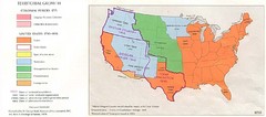
Territorial Expansion in Eastern United States...
323 miles away
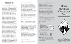
Hobbs State Park Map
Map of Hobbs State Park Conservation Area showing trail heads, roads, places of interests and...
324 miles away
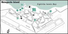
Matagorda Island State Park HQ Map
Shows park headquarters and facilities.
325 miles away
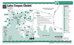
Lake Corpus Christi, Texas State Park Facility Map
326 miles away
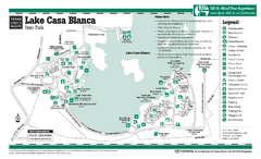
Lake Casa Blanca, Texas State Park Facility Map
327 miles away
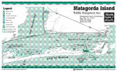
Matagorda Island State Park Map
328 miles away
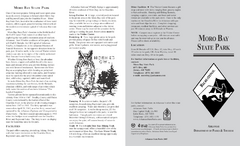
Moro Bay State Park Map
Map of Moro Bay State Park showing trails and park amenities.
329 miles away
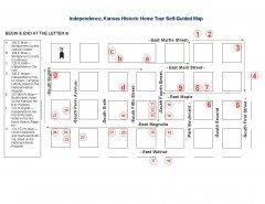
Walking tour of Historic Independence Map
Self-guided walking tour map of Historic Independence, Kansas. Shows historic housing in the...
330 miles away
Goose Island, Texas State Park Map
331 miles away
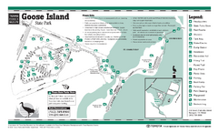
Goose Island, Texas State Park Facility and Trail...
331 miles away
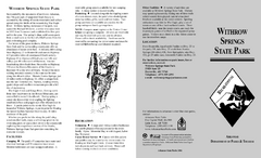
Withrow Springs State Park Map
Map for Withrow Springs State Park showing hiking trails and park amenities.
334 miles away
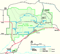
Pea Ridge National Military Park Official Map
Official NPS map of Pea Ridge National Military Park in Arkansas. The park is open year round 8-5...
337 miles away
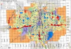
Wichita Functional Land Use Guide Map
Development map for future land use by 2030
337 miles away
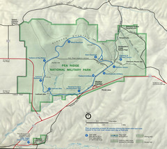
Pea Ridge National Military Park Map
337 miles away
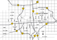
Wichita, Kansas City Map
337 miles away
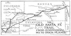
The Old Santa Fe Trail Map
341 miles away
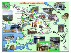
Eureka Springs West Tourist Map
Tourist map of Eureka Springs West on Beaver Lake in Eureka Springs, Arkansas. Shows points of...
344 miles away
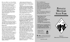
Pinnacle Mountain State Park Map
Map of the Pinnacle Mountain State Park including trails, park sites and amenities.
346 miles away

Pharr Texas Hurricane Evacuation Route Map
Hurricane evacuation map in southern Texas, Pharr and San Antonio.
348 miles away
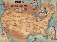
Tribes of the Indian Nation Map
Guide to the native tribes of North America
349 miles away
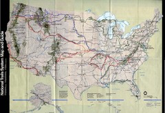
National Trails System Map
Map of all major US trail systems
349 miles away
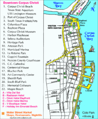
Downtown Corpus Christi Map
Tourist map of downtown Corpus Christi, with detail of local attractions
350 miles away
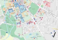
Corpus Christi, Texas Tourist Map
350 miles away

Corpus Christi, Texas Map
Tourist map of Corpus Christi, Texas, and the surrounding area. Shows museums, parks, marinas and...
350 miles away
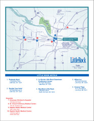
Little Rock Map
353 miles away

