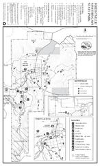
Forestville/Mystery Cave State Park Winter Map
Winter map of park with detail of trails and recreation zones
260 miles away
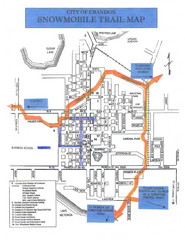
Crandon Snowmobile Trail Map
Snowmobile trail map of Crandon, Wisconsin on Lake Menlonga.
260 miles away
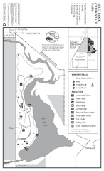
Split Rock Creek State Park Winter Map
Winter seasonal map of park with detail of trails and recreation zones
261 miles away
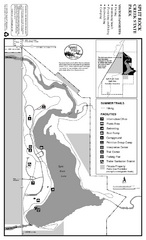
Split Rock Creek State Park Summer Map
Summer seasonal map of park with detail of trails and recreation zones
261 miles away
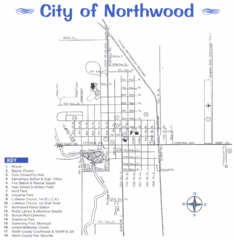
Northwood City Map
City map of Northwood, Iowa with key of churches, parks, and other points of interest.
263 miles away
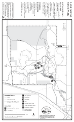
Lake Louise State Park Map
Map of park with detail of trails and recreation zones
263 miles away
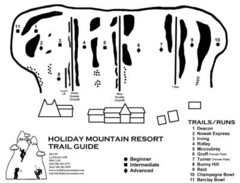
Holiday Mountain Ski Trail Map
Trail map from Holiday Mountain, which provides downhill skiing. It has 4 lifts. This ski area has...
265 miles away
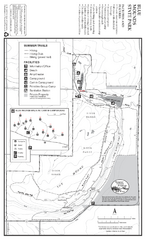
Blue Mounds State Park Map
Map of park with detail of trails and recreation zones
270 miles away
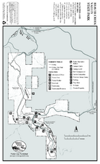
Beaver Creek Valley State Park Map
Map of park with detail of trails and recreation zones
270 miles away

Fort Defiance State Park Map
Map of hiking, equestrian and cross country skiing trails and park facilities of Fort Defiance...
270 miles away
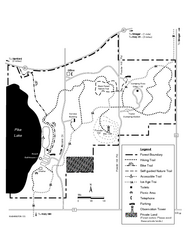
Pike Lake Map
Detailed trail map of area surrounding Pike Lake.
271 miles away
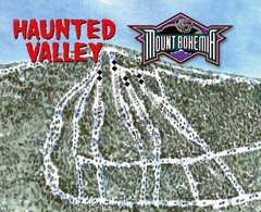
Mount Bohemia Haunted Valley Ski Trail Map
Trail map from Mount Bohemia.
272 miles away
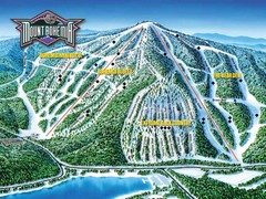
Mount Bohemia Frontside Ski Trail Map
Trail map from Mount Bohemia.
272 miles away
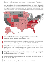
Criminal Disenfranchisement Laws in the U.S. Map
For a state-by-state guide on felony.
272 miles away

Mt. La Crosse Ski Trail Map
Trail map from Mt. La Crosse.
272 miles away
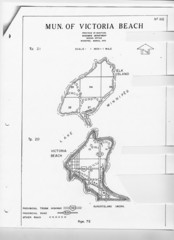
Victoria Beach and Elk Island Map
273 miles away

Pilot Knob State Park Map
Map of trails and park facilities in Pilot Knob State Park.
275 miles away

Gull Bay First Nation route map
A simple route map that tells you how to get to Gull Bay First Nation in Northren Ontario. For...
276 miles away
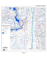
Groundwater Elevation of Portage County Map
Using the water table elevation map, generalized groundwater flow directions can be estimated.
277 miles away
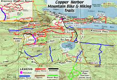
Copper Harbor Trail Map
Guide to mountain bike and hiking trails of Copper Harbor
278 miles away

Gull Bay First Nation - How to get there map
A simple route map that tells you how to get to Kiashke Zaaging Anishinaabek (Gull Bay First Nation...
280 miles away
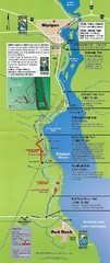
Nipigon River Recreational Trail Map
Map of the river trail between Red Rock and Nipigon.
284 miles away
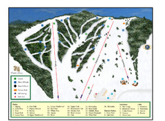
Pine Mountain Resort Ski Trail Map
Trail map from Pine Mountain Resort.
288 miles away
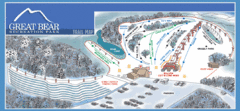
Great Bear Recreation Park Ski Trail Map
Trail map from Great Bear Recreation Park.
288 miles away
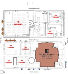
Washington Pavillion of Arts and Sciences Bus...
291 miles away
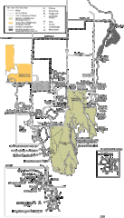
Buckhorn State Park Map
Hiking trails and fun locations marked on this map.
292 miles away
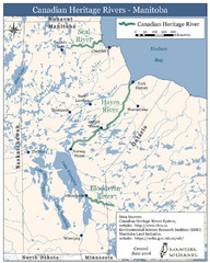
Canadian Heritage Rivers, Manitoba Map
294 miles away
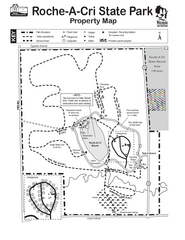
Roche A Cri State Park Map
Marked hiking trails for this State Park easily read on this map.
294 miles away
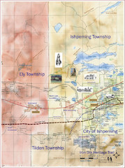
Ishpeming Trail Map
Trail and road map for Ishpeming and surrounding area
294 miles away
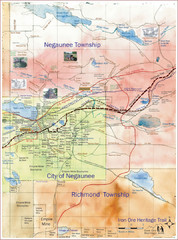
Negaunee Trail Map
Trail and street map of Negaunee are
297 miles away
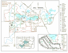
Hartman Creek State Park Map
299 miles away
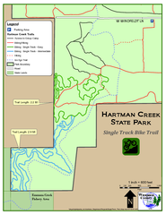
Hartman Creek State Park - Single Track Bike...
299 miles away
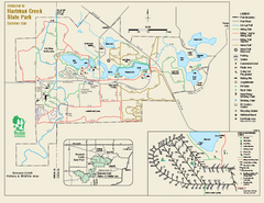
Hartman Creek State Park map
Detailed recreation map for Hartman Creek State Park in Wisconsin
299 miles away
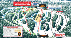
Norway Mountain Ski Trail Map
Trail map from Norway Mountain.
299 miles away
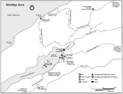
Windigo Area Guide Map
300 miles away
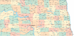
North Dakota Road Map
305 miles away
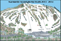
Marquette Mountain Ski Trail Map
Trail map from Marquette Mountain.
305 miles away
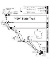
400 State Trail Map
Long and beautiful trail through Wisconsin's finest.
305 miles away
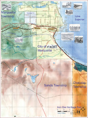
Marquette Trail Map
Trail and road map of Marquette and surrounding area
306 miles away
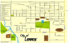
Lennox Town Map
Map of Lennox, including various recreational locations
307 miles away

