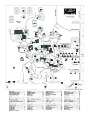
St. Olaf College Map
Campus map of St. Olaf College with index
193 miles away
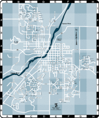
Northfield Street Map
Street map of Northfield, Minnesota
194 miles away
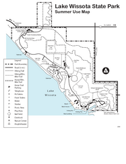
Lake Wissota State Park Map
Easy hiking along the beautiful water front.
196 miles away
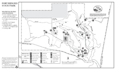
Fort Ridgely State Park Winter Map
Winter map of park with detail of trails and recreation zones
197 miles away
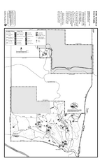
Fort Ridgely State Park Summer Map
Summer map of park with detail of trails and recreation zones
197 miles away
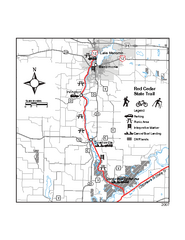
Red Cedar State Trail Map
Detailed trail map.
198 miles away

Chippewa Valley Trail System Map
Multiple trails and hiking routes in the Chippewa Valley.
199 miles away
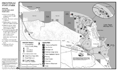
Frontenac State Park Winter Map
Map of park with detail of trails and recreation zones
199 miles away

Mount Frontenac Ski Trail Map
Trail map from Mount Frontenac.
200 miles away
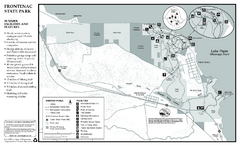
Frontenac State Park Summer Map
Map of park with detail of trails and recreation zones
200 miles away
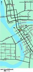
Downtown Eau Claire Eateries Map
Make sure you set aside the whole day and visit the numerous shops in Eau Claire's Downtown...
200 miles away
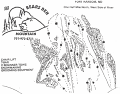
Bears Den Mountain Ski Trail Map
Trail map from Bears Den Mountain.
201 miles away
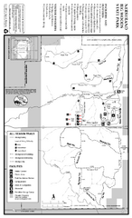
Nerstrand-Big Woods State Park Map
map of park with detail of trails and recreation zones
202 miles away
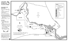
Grand Portage State Park Map
Map of park with detail of trails and recreation zones
203 miles away
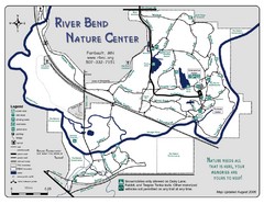
River Bend Nature Center Map
205 miles away
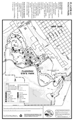
Flandrau State Park Map
Map of park with detail of trails and recreation zones
205 miles away

Sakatah Lake State Park Map
map of park with detail of trails and recreation zones
208 miles away

Mount Kato Ski Area Ski Trail Map
Trail map from Mount Kato Ski Area.
212 miles away
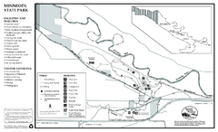
Minneopa State Park Map
Map of park with detail of trails and recreation zones
212 miles away
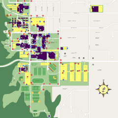
Minnesota State University Mankato Campus Map
Campus map of Minnesota State University Mankato
213 miles away
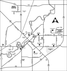
City of Marshall Visitor's Map
City of Marshall Visitor's Map describes the location of basic needs as well as recreational...
215 miles away
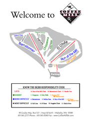
Coffee Mill Ski Trail Map
Trail map from Coffee Mill.
215 miles away

Owatonna Map
Visitor Map of Owatonna, Minnesota. Includes all streets, highways, restaurants, hotels, parks and...
219 miles away
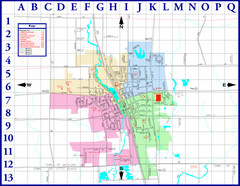
Medford City Map
City map of Medford, Wisconsin. Shows public buildings and districts.
219 miles away
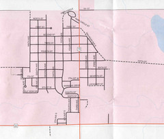
Clear Lake City Map
City map of Clear Lake, South Dakota with landmarks
220 miles away
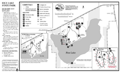
Rice Lake State Park Map
map of park with detail of trails and recreation zones
220 miles away
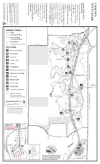
Camden State Park Summer Map
Map of park with detail of trails and recreation zones
223 miles away
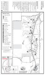
Camden State Park Winter Map
Map of park with detail of trails and recreation zones
223 miles away
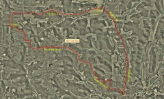
Bike Race Map Blank Hill Road
River Valley Cycling Club Course Map & Elevation Chart
226 miles away
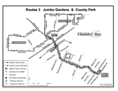
Thunder Bay Transit Map
A proposal to Thunder Bay transit to replace their actual map design for bus routes which are not...
226 miles away

Watertown City Parks Map
City parks map of Watertown, South Dakota. Shows 35 parks.
226 miles away
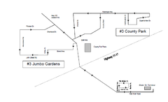
Thunder Bay Transit Map
This is the original map of Thunder Bay Bus Route 3. See my proposal for an improved design.
228 miles away
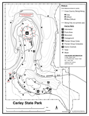
Carley State Park Map
Map of park with detail of trails and recreation zones
229 miles away
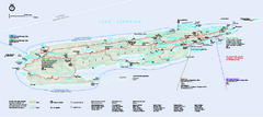
Isle Royale National Park Official Park Map
Official NPS map of Isle Royale National Park in Michigan. Isle Royale National Park is one of...
229 miles away

Frost Fire Mountain Ski Trail Map
Trail map from Frost Fire Mountain.
229 miles away
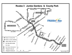
Thunder Bay Transit Map
I made this map after desperately trying to find out how to arrive at my daughters violin class...
230 miles away
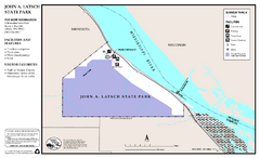
John A. Latsch State Park Map
Map of park with detail of trails and recreation zones
232 miles away
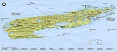
Isle Royale National Park Map
233 miles away
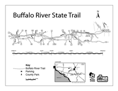
Buffalo River State Trail Map
Detailed map of excited hike through nature's finest.
233 miles away
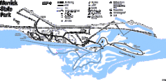
Merrick State Park Map
Beautiful hikes around the waterfront.
234 miles away

