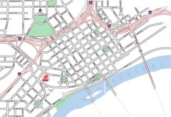
St. Paul, Minnesota City Map
161 miles away

Willow River State Park Map
Easily read map with detailed markings.
162 miles away
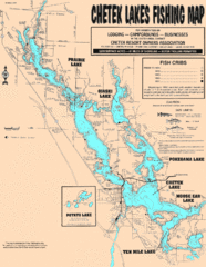
Chetek Lakes Fishing Map
Fishing map of the Chetek Lakes region
164 miles away
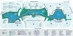
Centennial Lakes Park Map
165 miles away
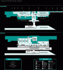
Minneapolis-St. Paul International Airport...
Official Map of Minneapolis-St. Paul International Airport. Shows Humphrey Terminal.
165 miles away
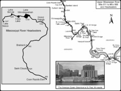
Upper Mississippi River Mile 811 to Mile 1347 Map
Historical Map from book "Mississippi River-Historical Sites and Interesting Places
165 miles away
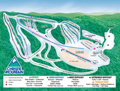
Christie Mountain Ski Area Ski Trail Map
Trail map from Christie Mountain Ski Area.
166 miles away
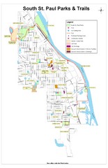
South St. Paul Parks and Trails Map
Park and trail map of South St. Paul, Minnesota.
166 miles away
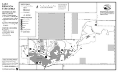
Lake Bronson State Park Winter Map
Winter seasonal map of park with detail of trails and recreation zones
166 miles away
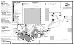
Lake Bronson State Park Summer Map
Summer seasonal map of park with detail of trails and recreation zones
166 miles away
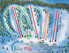
Hyland Ski and Snowboard Area Ski Trail Map
Trail map from Hyland Ski and Snowboard Area, which provides downhill, night, and terrain park...
166 miles away
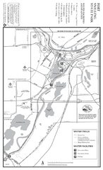
Fort Snelling State Park Winter Map
Winter map of park with detail of trails and recreation zones
166 miles away
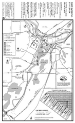
Fort Snelling State Park Summer Map
Summer map of park with detail of trails and recreation zones
166 miles away
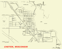
Chetek City Map
City map of Chetek, Wisconsin
167 miles away

Whitecap Ski Trail Map
Official ski trail map of Whitecap Mountains ski area. 43 runs.
170 miles away
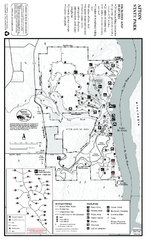
Afton State Park Winter Map
Map of park with detail of trails and recreation zones
171 miles away
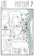
Afton State Park Summer Map
Map of park with detail of trails and recreation zones
171 miles away

Afton Alps Ski Area Ski Trail Map
Trail map from Afton Alps Ski Area, which provides downhill, night, and terrain park skiing. It has...
171 miles away
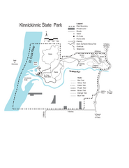
Kinnickinnic State Park Map
Map detailing hiking routes and stops along the way.
173 miles away

Buck Hill Ski Area Ski Trail Map
Trail map from Buck Hill Ski Area, which provides downhill, night, and terrain park skiing. It has...
175 miles away
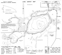
Fireside Lake Survey Map
Survey of Lake and surrounding areas done by State of Wisconsin Department of Natural Resources
177 miles away
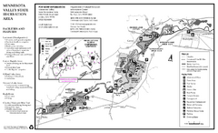
Minnesota Valley State Recreation Area Map
Map of recreation area with detail of trails and recreation zones
177 miles away

Whitecap Mountains Ski Trail Map
Trail map from Whitecap Mountains.
177 miles away
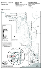
Judge C.R. Magney State Park Map
Map of park with detail of trails and recreation zones
180 miles away
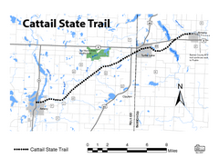
Cat Tail State Trail Map
Map marking trails, bike routes, shelter, toilets and more.
180 miles away
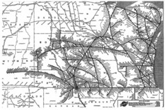
Chicago & North Western Line Railroad System...
C&NW map circa 1909
181 miles away
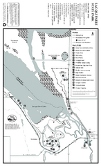
Lac Qui Parle State Park Map
Map of park with detail of trails and recreation zones
182 miles away

Big Powderhorn Mountain, Map
Trail map for Big Powderhorn, taken from their website in Jan 2008
182 miles away

Big Powderhorn Mountain Ski Trail Map
Trail map from Big Powderhorn Mountain.
182 miles away
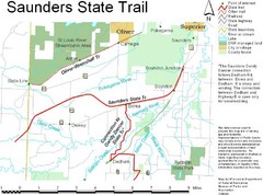
Saunders State Trail Map
Points of interest, lakes, roads, forests and more are marked on this map's key.
183 miles away
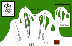
Falcon Ridge Ski Trail Map
Trail map from Falcon Ridge, which provides downhill and nordic skiing. This ski area has its own...
183 miles away
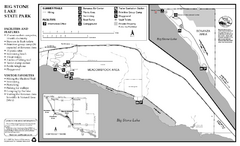
Big Stone Lake State Park Map
Map of park with detail of trails and recreation zones
186 miles away

Blackjack Ski Resort Ski Trail Map
Trail map from Blackjack Ski Resort.
186 miles away

Indianhead Mountain Resort Ski Trail Map
Trail map from Indianhead Mountain Resort.
188 miles away
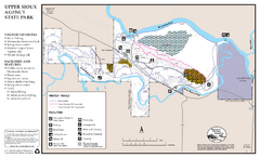
Upper Sioux Agency State Park Winter Map
Winter seasonal map of park with detail of trails and recreation zone
189 miles away
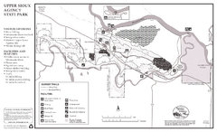
Upper Sioux Agency State Park Summer Map
Summer seasonal map of park with detail of trails and recreation zones
189 miles away
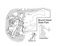
Brunet Island State Park Map
Easy to read legend.
190 miles away

Welch Village Ski Area Ski Trail Map
Trail map from Welch Village Ski Area, which provides downhill, night, and terrain park skiing. It...
192 miles away

Porcupine Mountain Ski Trail Map
Trail map from Porcupine Mountain.
193 miles away

St. Olaf College Map
Campus map of St. Olaf College
193 miles away

