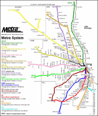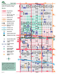
Oak Park Transit Map
Transit Guide to Oak Park, Illinois
473 miles away
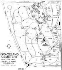
Graceland Cemetery Map
Map of the sections of Graceland cemetery with notable burials marked Key here: http://mappery.com...
473 miles away
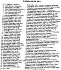
Graceland Cemetery Map key
key for the map of Graceland Cemetery: http://mappery.com/Graceland-Cemetery-Map
473 miles away
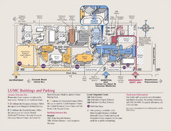
Layola University Medical Campus Map
Map of Layola University Campus. Shows specific location of the hospital, emergency department...
473 miles away
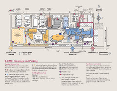
Loyola University Medical Center Map
Visitor map of Loyola University Medical center including Hospital/ Emergency and Output center...
473 miles away
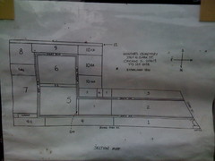
Map of Wunders Cemetery in Chicago, IL
Map of the burial sections for Wunders Cemetery
473 miles away
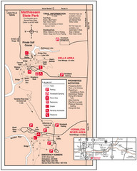
Matthiessen State Park, Illinois Site Map
474 miles away
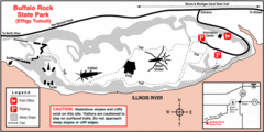
Buffalo Rock State Park, Illinois Site Map
474 miles away

Salt Creek Map
Picnic Areas and Trail Map
474 miles away
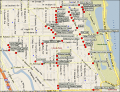
Lincoln Park Chicago Tourist Map
475 miles away
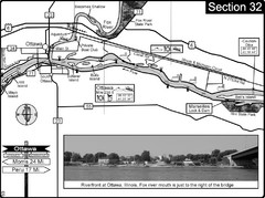
Ottawa, IL Illinois River/Fox River Map
For boating navigation and river road travel on the Illinois River. Shows confluence of the Fox...
476 miles away
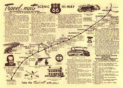
Route 66 Chicago, IL to Springfield, MI Map
476 miles away
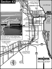
Chicago, IL Sanitary & Ship Canal/Chicago...
This is the beginning of the Illinois Waterway that connects Lake Michigan to the Mississippi River...
476 miles away
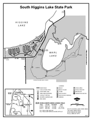
South Higgins Lake State Park, Michigan Site Map
477 miles away
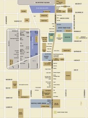
Shopping map of Chicago
Map of all shopping within the 900 Shops district of Chicago
477 miles away
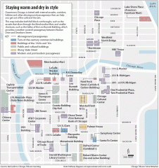
Downtown Chicago tourist map
Incredible pedway map of Downtown Chicago, showing historical architecture and internal arcades to...
478 miles away
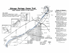
Chicago Portage Canoe Trail Map
Map of the Chicago Portage Canoe Trail in western Cook County on the Des Plaines River, Illinois...
478 miles away
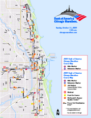
Chicago 2009 Marathon Map
Guide to the 2009 Chicago Marathon
478 miles away
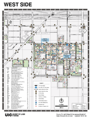
University of Illinois at Chicago - West Map
478 miles away
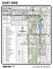
University of Illinois at Chicago - East Map
478 miles away
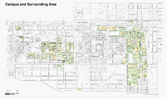
University of Illinois at Chicago Map
478 miles away
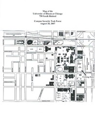
University of Illinios at Chicago Campus Map
478 miles away
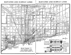
1944 Chicago "L" Elevated Train Map
System map of Chicago subway system
478 miles away
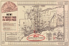
1934 Chicago Rapid Transit Map
479 miles away
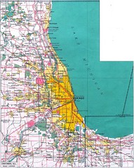
Chicago Map
479 miles away
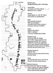
Bubble Ride Route Map
Bubble Ride Route Map from Critical Mass in Chicago
479 miles away
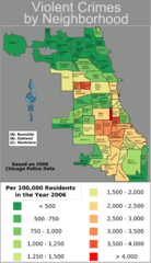
Chicago 2006 Violent Crime Map
Crime in Chicago by neighborhood.
479 miles away
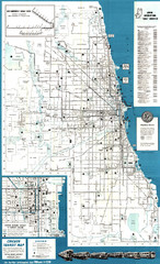
Chicago Transit Map
Map of Chicago Transit circa 1957. Includes roads, some buildings and detailed transit information.
479 miles away
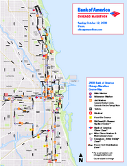
Chicago Marathon Course Map 2008
Official 2008 course map of the Chicago Marathon
479 miles away
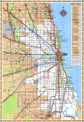
Chicago Train Map
Shows Chicago Transit Authority train routes in the Chicago area.
479 miles away
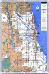
Chicago L System Map
CTA system map for the "L" from 1999
479 miles away
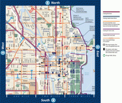
Biking in Downtown Chicago, Illinois Map
Map of bike lanes, bike trails, bike shops, public transportation, museums and other attractions in...
479 miles away
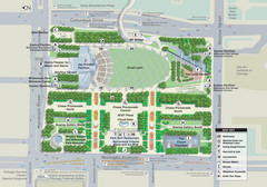
Millenuim Park Chicago Map
479 miles away
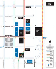
DePaul University Loop Campus Map
479 miles away
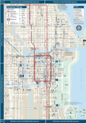
Downtown Chicago Map
479 miles away
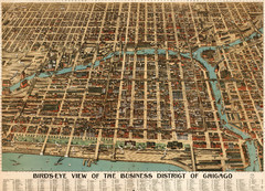
Birdseye of the business district of Chicago...
Poole Brother's beautiful birdseye illustration of the Chicago Loop in 1898.
479 miles away
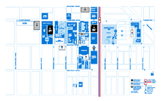
DePaul University - Lincoln Park Campus Map
Campus Map of DePaul University in Chicago, Lincoln Park Campus. All buildings shown.
479 miles away
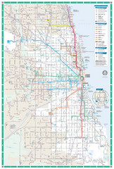
Chicago Transit Map
479 miles away
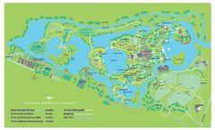
Chicago Botanic Garden Map
479 miles away

