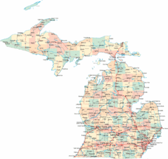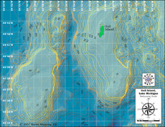
Gull Island Bathymetric Map
392 miles away
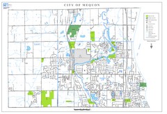
Mequon City Map
City map of Mequon, Wisconsin
395 miles away
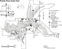
Prairie Rose State Park Map
Map of trails, lake depths, fishing spots and park facilities in Prairie Rose State Park.
396 miles away

Fun Valley Ski Trail Map
Trail map from Fun Valley.
396 miles away

South Manitou Island Map
399 miles away
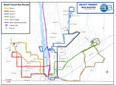
Beloit Bus Routes Map
401 miles away

North Manitou Island Map
401 miles away
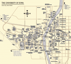
University of Iowa Map
Campus Map of the University of Iowa. All buildings shown.
401 miles away
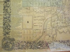
Beloit City Map
City map of Beloit, Wisconsin SW from 1858
401 miles away
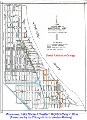
Whitefish Bay - 1926 Map
Whitefish Bay - 1926
404 miles away
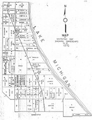
Whitefish Bay - 1876 Map
Whitefish Bay, Wisconsin - 1876 Ownership map
405 miles away
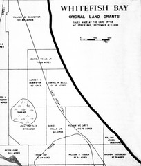
Whitefish Bay Original Land Grants 1835 Map
Whitefish Bay Original Land Grants 1835
405 miles away
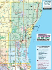
Ozaukee County Interurban Trail Map
Map of on and off trail key birding spots
405 miles away

Milwaukee Urban Water Trail Map
405 miles away
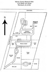
Warren County Memorial Park Map
405 miles away
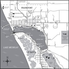
Frankfort-Elberta City Map
City map of Frankfort and Elberta, Michigan on shore of Lake Michigan.
406 miles away
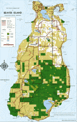
Beaver Island Michigan Map
Map of Beaver Island, Michigan. Created in 1977 by William Cashman and Edward Wojan. From...
406 miles away

Alpine Valley Resort Ski Trail Map
Trail map from Alpine Valley Resort.
407 miles away
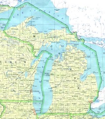
Lake Michigan Map
407 miles away
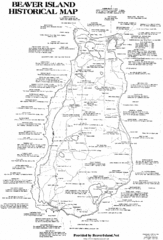
Beaver Island History Map
407 miles away

Empire Michigan Map
407 miles away
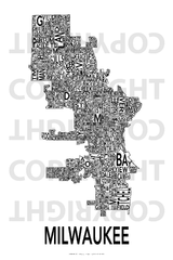
Urban Neighborhood Map: Milwaukee Map
This Urban Neighborhood Poster of Milwaukee is a modern twist on traditional maps - perfect to...
408 miles away

Glen Arbor MI walking map
408 miles away

Glen Arbor MI Map
408 miles away

Sleeping Bear Dunes National Lakeshore Map
408 miles away
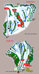
The Homestead Ski Trail Map
Trail map from The Homestead.
408 miles away
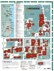
University of Wisconsin - Milwaukee Map
Campus Map of the University of Wisconsin - Milwaukee. All area's shown.
409 miles away
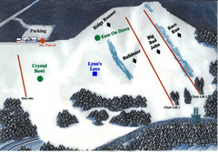
Crystal Ridge Ski Area Ski Trail Map
Trail map from Crystal Ridge Ski Area.
410 miles away
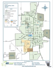
West Liberty City Map
City map of West Liberty, Iowa
410 miles away
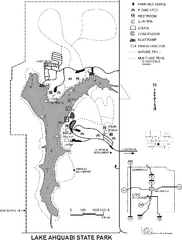
Lake Ahquabi State Park Map
Map of trails, lake depths and park facilities for Lake Ahquabi State Park.
411 miles away
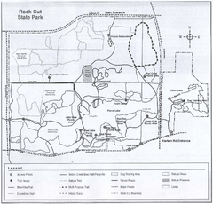
Rock Cut State Park, Illinois Site Map
411 miles away

Rock Cut State Park Map
Trail map of Rock Cut State Park in Winnebago County, Illinois.
411 miles away

Wilson Island State Recreation Area Map
Map of trails, boat ramps and park facilities in Wilson Island State Recreation Area.
412 miles away

White River State Trail Map
Take the White River Trail from Elkhom to Burlington through nature's backyard.
413 miles away
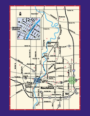
Rockford, Illinois Map
Tourist map of Rockford, Illinois. Museums, parks, hotels and other points of interest are shown.
414 miles away

Leland MI Map
414 miles away
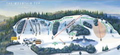
The Mountain Top at Grand Geneva Resort Ski Trail...
Trail map from The Mountain Top at Grand Geneva Resort.
415 miles away
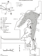
Lake Keomah State Park Map
Map of trails, fishing spots, lake depths and park facilities for Lake Keomah State Park.
415 miles away

