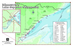
Minnesota's Lake Superior Shipwrecks Map
Guide to Lake Superior shipwrecks in Minnesota
0 miles away
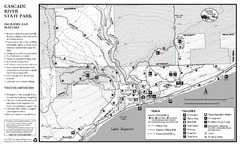
Cascade River State Park Map
Map of park with detail of trails and recreation zones
29 miles away
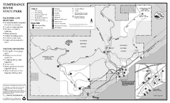
Temperance River State Park Map
map of park with detail of trails and recreation zones
29 miles away

Lutsen Mountains Ski Trail Map
Trail map from Lutsen Mountains, which provides downhill and terrain park skiing. It has 10 lifts...
29 miles away
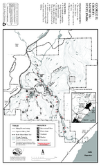
George Crosby Manitou State Park Map
Map of park with detail of trails and recreation zones
36 miles away
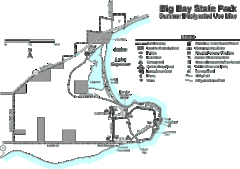
Big Bay State Park Map
Detailed map of nice hikes and stops around Big Bay State Park near Lake Superior.
37 miles away
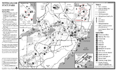
Tettegouche State Park Map
map of park with detail of trails and recreation zones
41 miles away
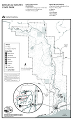
Judge C.R. Magney State Park Map
Map of park with detail of trails and recreation zones
41 miles away

Porcupine Mountain Ski Trail Map
Trail map from Porcupine Mountain.
47 miles away
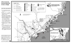
Split Rock Lighthouse State Park Summer Map
Summer seasonal map of park with detail of trails and recreation zones
49 miles away
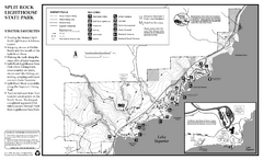
Split Rock Lighthouse State Park Winter Map
Winter seasonal map of park with detail of trails and recreation zones
49 miles away
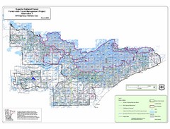
Superior National Park Map
Park Map in Minnesota. Does not include road or highway names
51 miles away
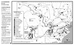
Gooseberry Falls State Park Winter Map
Winter season map of park with detail of trails and recreation zones
52 miles away
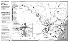
Gooseberry Falls State Park Map
Map of park with detail of trails and recreation zones
52 miles away

Big Powderhorn Mountain, Map
Trail map for Big Powderhorn, taken from their website in Jan 2008
57 miles away

Big Powderhorn Mountain Ski Trail Map
Trail map from Big Powderhorn Mountain.
57 miles away

Blackjack Ski Resort Ski Trail Map
Trail map from Blackjack Ski Resort.
58 miles away

Indianhead Mountain Resort Ski Trail Map
Trail map from Indianhead Mountain Resort.
58 miles away
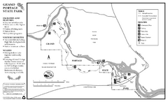
Grand Portage State Park Map
Map of park with detail of trails and recreation zones
60 miles away

Whitecap Mountains Ski Trail Map
Trail map from Whitecap Mountains.
61 miles away

Whitecap Ski Trail Map
Official ski trail map of Whitecap Mountains ski area. 43 runs.
62 miles away
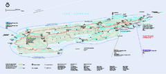
Isle Royale National Park Official Park Map
Official NPS map of Isle Royale National Park in Michigan. Isle Royale National Park is one of...
77 miles away
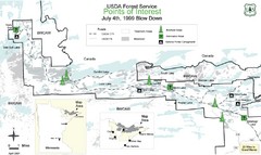
Quetico Provincial Park Map
BWCAW Visitors Map. Shows parameters of BWCAW areas, camp grounds, roads and information kiosks.
79 miles away
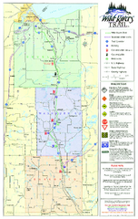
Wild Rivers Trail Map
A multitude of trails and rivers are clear to read on this map.
81 miles away
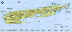
Isle Royale National Park Map
82 miles away
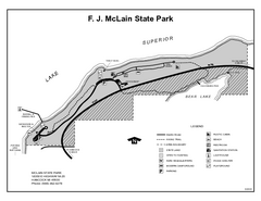
McLain State Park, Michigan Site Map
83 miles away
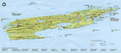
Isle Royale National Park Map
Park map of Isle Royal National Park. Scanned.
85 miles away
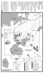
Bear Head Lake State Park Map
Map of park with detail of trails and recreation zones
86 miles away
Amnicon Falls State Park Map
Marked trails, picnic sites, bridges, toilets, ect. make the hike around the beautiful Amnicon...
86 miles away
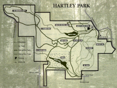
Hartley Park Map
Trail map
87 miles away
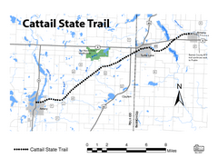
Cat Tail State Trail Map
Map marking trails, bike routes, shelter, toilets and more.
87 miles away
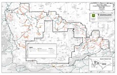
Superior National Forest Map
Echo Trail in Superior National Forest
89 miles away
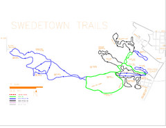
Swedetown Nordic Trail Map
Trail map of nordic ski trails in Swedetown, Michigan
89 miles away
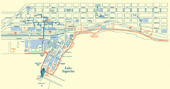
Duluth Map
90 miles away
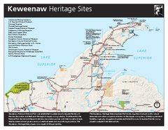
Keweenaw National Historical Park Official Map
Official NPS map of Keweenaw National Historical Park in Michigan. Map shows all areas. Park...
90 miles away
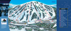
Giants Ridge Resort Ski Trail Map
Trail map from Giants Ridge Resort, which provides downhill, night, nordic, and terrain park skiing...
92 miles away
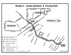
Thunder Bay Transit Map
A proposal to Thunder Bay transit to replace their actual map design for bus routes which are not...
93 miles away
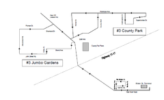
Thunder Bay Transit Map
This is the original map of Thunder Bay Bus Route 3. See my proposal for an improved design.
94 miles away
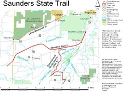
Saunders State Trail Map
Points of interest, lakes, roads, forests and more are marked on this map's key.
94 miles away

