
Spicer City Map
City map of Spicer, Minnesota with visitor's information
137 miles away

Bruce Mound Ski Area Ski Trail Map
Trail map from Bruce Mound Ski Area.
137 miles away
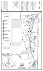
Camden State Park Summer Map
Map of park with detail of trails and recreation zones
139 miles away
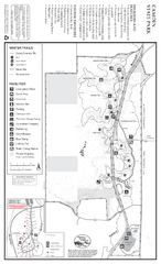
Camden State Park Winter Map
Map of park with detail of trails and recreation zones
140 miles away
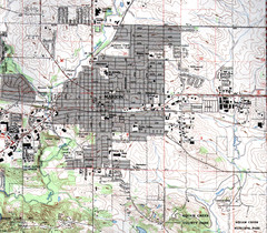
Marion Iowa Topo Map
USGS topo map of Marion, Iowa
141 miles away
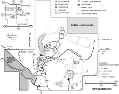
Springbrook State Park Map
Map of trails, hunting and fishing areas, and park facilities in Springbrook State Park.
141 miles away
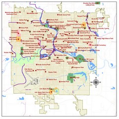
Des Moines Parks Map
141 miles away
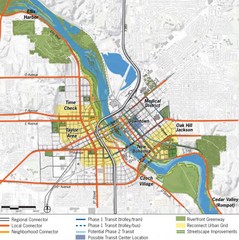
Cedar Rapids Tourist Map
142 miles away
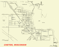
Chetek City Map
City map of Chetek, Wisconsin
142 miles away

Des Moines, Iowa City Map
142 miles away
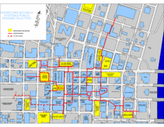
Des Moines Skywalks Map
142 miles away
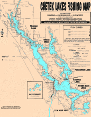
Chetek Lakes Fishing Map
Fishing map of the Chetek Lakes region
144 miles away
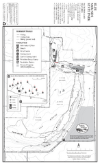
Blue Mounds State Park Map
Map of park with detail of trails and recreation zones
145 miles away
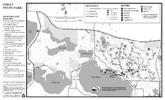
Sibley State Park Winter Map
Winter seasonal map of park with detail of trails and recreation zones
145 miles away
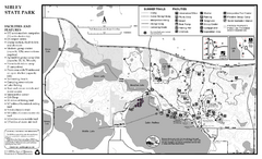
Sibley State Park Summer Map
map of park with detail of trails and recreation zones
145 miles away
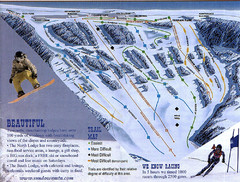
Sundown Mountain Ski Trail Map
Trail map from Sundown Mountain.
146 miles away

Fun Valley Ski Trail Map
Trail map from Fun Valley.
148 miles away
Wapsipinicon State Park Map
Map of trails, hunting areas and park facilities in Wapsipinicon State Park.
148 miles away
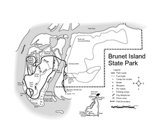
Brunet Island State Park Map
Easy to read legend.
150 miles away
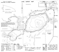
Fireside Lake Survey Map
Survey of Lake and surrounding areas done by State of Wisconsin Department of Natural Resources
152 miles away
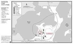
Monson Lake State Park Map
Map of park with detail of trails and recreation zones
152 miles away
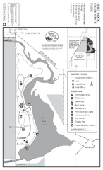
Split Rock Creek State Park Winter Map
Winter seasonal map of park with detail of trails and recreation zones
154 miles away
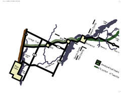
Tuscobia Map
Lakes and trails are easy to follow on this map.
154 miles away
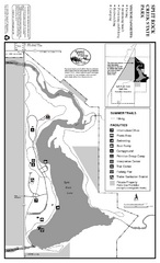
Split Rock Creek State Park Summer Map
Summer seasonal map of park with detail of trails and recreation zones
154 miles away
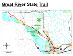
Great River State Trail Map
Nice hike through natural settings along a beautiful river.
155 miles away
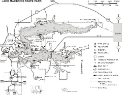
Lake MacBride State Park Map
Map of hiking and biking trails, lake depths and boating and park facilities in Lake MacBride State...
155 miles away
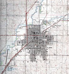
Lemars Iowa Topo Map
USGS topo map of Lemars, Iowa
156 miles away
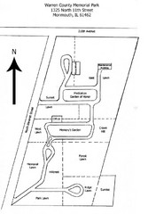
Warren County Memorial Park Map
157 miles away
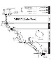
400 State Trail Map
Long and beautiful trail through Wisconsin's finest.
158 miles away
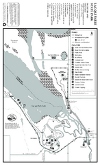
Lac Qui Parle State Park Map
Map of park with detail of trails and recreation zones
160 miles away
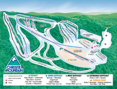
Christie Mountain Ski Area Ski Trail Map
Trail map from Christie Mountain Ski Area.
160 miles away
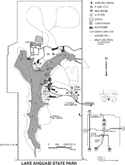
Lake Ahquabi State Park Map
Map of trails, lake depths and park facilities for Lake Ahquabi State Park.
163 miles away
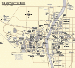
University of Iowa Map
Campus Map of the University of Iowa. All buildings shown.
164 miles away
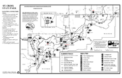
St. Croixs State Park Summer Map
Summer seasonal map of park with detail of trails and recreation zones
164 miles away
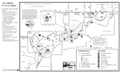
St. Croixs State Park Winter Map
Winter seasonal map of park with detail of trails and recreation zones
164 miles away

Maquoketa Caves State Park Map
Map of trails and park facilities for Maquoketa Caves State Park.
166 miles away
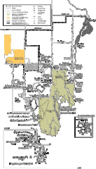
Buckhorn State Park Map
Hiking trails and fun locations marked on this map.
166 miles away
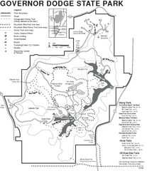
Governor Dodge State Park Map
Bike, Horse, trek, and recreational locations marked on this map.
166 miles away
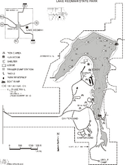
Lake Keomah State Park Map
Map of trails, fishing spots, lake depths and park facilities for Lake Keomah State Park.
167 miles away
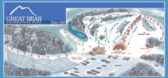
Great Bear Recreation Park Ski Trail Map
Trail map from Great Bear Recreation Park.
168 miles away

